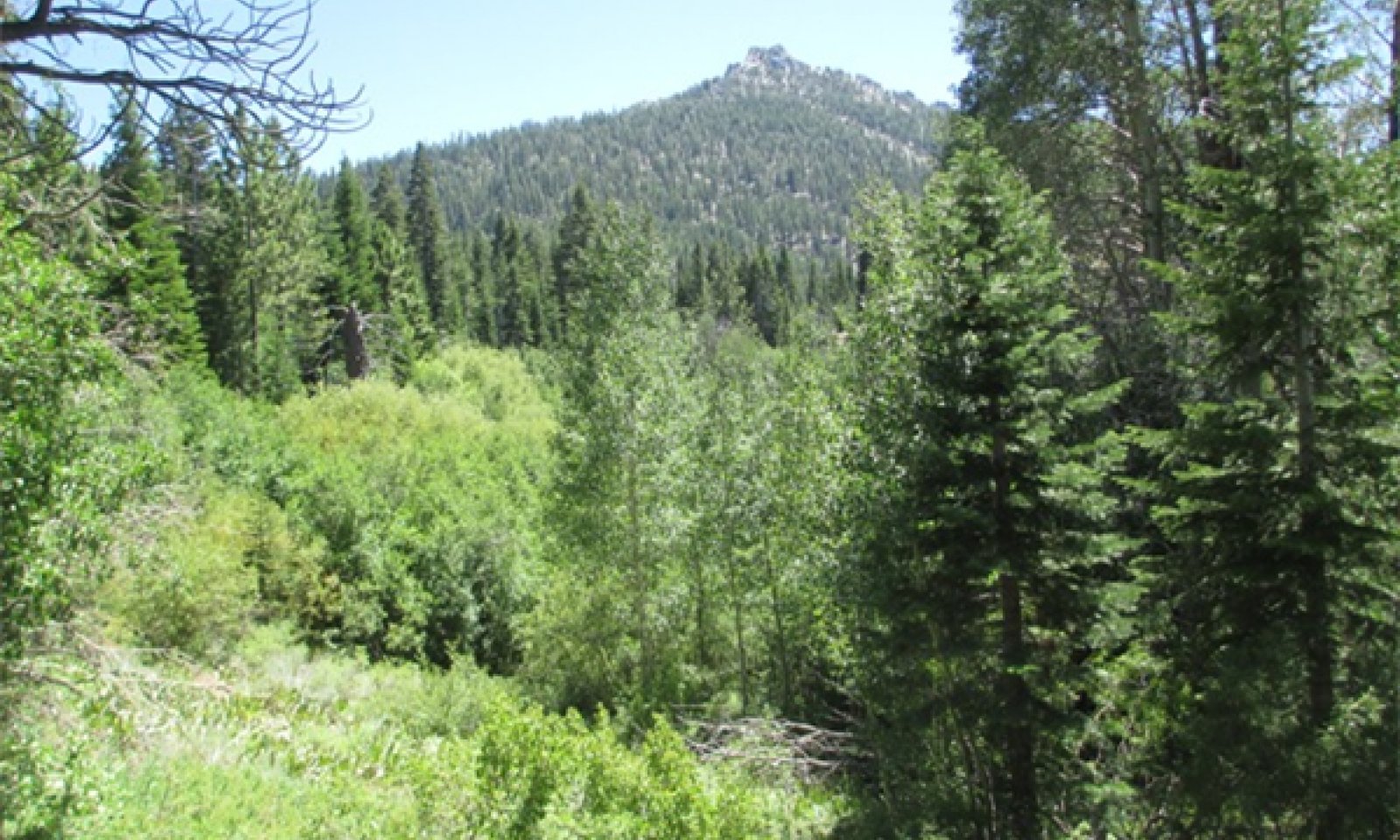
Steep Mountain Drainageways


Scenario model
Current ecosystem state
Select a state
Management practices/drivers
Select a transition or restoration pathway
- Transition 1.1a More details
- Restoration pathway 2.1a More details
- Transition 2.1a More details
- Restoration pathway 3.1A More details
-
No transition or restoration pathway between the selected states has been described
Target ecosystem state
Select a state

Description
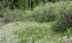
This is the reference state for this ecological site.
Submodel
Description
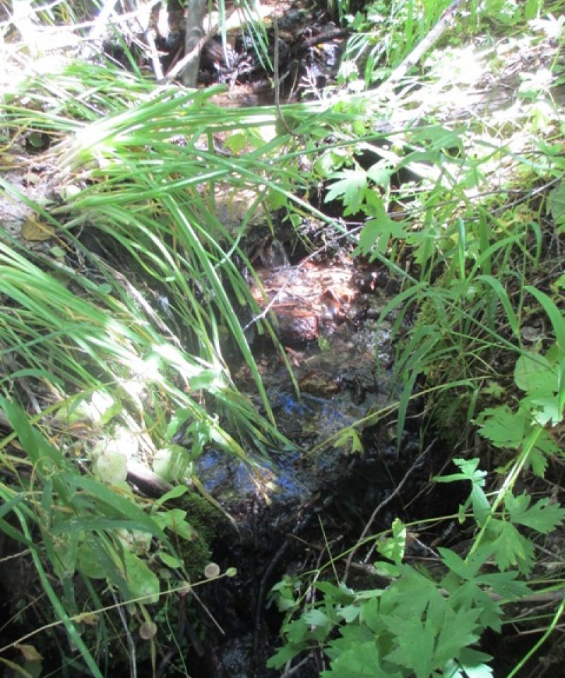
This state is an unstable state with an actively eroding gully or G type channel.
Submodel
Mechanism
This transition is triggered by grazing, road development, or trails that increase flow to the channel and cause it to down cut into an unstable G type channel.
Mechanism
Restoration approaches vary depending upon the site and the triggers that initiated channel erosion. Grazing does not occur in most of these sites currently, but if grazing does occur, fences should keep livestock out of these areas. Drainage structures on roads and trails should be developed, so increased run off does not flow into these streams. Road crossing should be designed so channels can cross at their proper gradient and culverts or dips allow for sufficient flow. In some areas streams may need physical restoration, such as adding stream gradient structures and sedge plantings to raise the stream level.
Mechanism
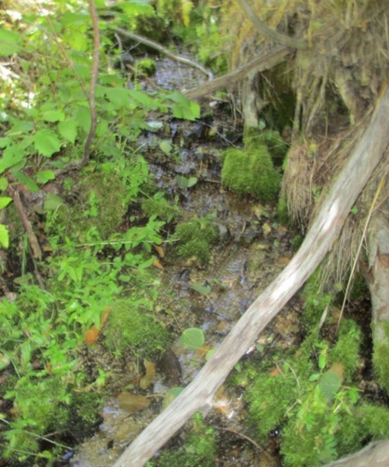
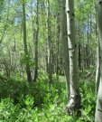
This transition occurs when the channel has widened over time, and has more sloped banks with vegetation. This may occur if disturbances are removed or managed properly or as the channel adjusts to accommodate the disturbances.
Mechanism
Restoration approaches vary depending upon the site, and not all sites should be restored to State 1. State 3 can exists as a natural condition. However, if restoration to State 1 is assessed as appropriate, restoration approaches would be similar as outlined in restoration pathway 2.1A.
Model keys
Briefcase
Add ecological sites and Major Land Resource Areas to your briefcase by clicking on the briefcase (![]() ) icon wherever it occurs. Drag and drop items to reorder. Cookies are used to store briefcase items between browsing sessions. Because of this, the number of items that can be added to your briefcase is limited, and briefcase items added on one device and browser cannot be accessed from another device or browser. Users who do not wish to place cookies on their devices should not use the briefcase tool. Briefcase cookies serve no other purpose than described here and are deleted whenever browsing history is cleared.
) icon wherever it occurs. Drag and drop items to reorder. Cookies are used to store briefcase items between browsing sessions. Because of this, the number of items that can be added to your briefcase is limited, and briefcase items added on one device and browser cannot be accessed from another device or browser. Users who do not wish to place cookies on their devices should not use the briefcase tool. Briefcase cookies serve no other purpose than described here and are deleted whenever browsing history is cleared.
Ecological sites
Major Land Resource Areas
The Ecosystem Dynamics Interpretive Tool is an information system framework developed by the USDA-ARS Jornada Experimental Range, USDA Natural Resources Conservation Service, and New Mexico State University.