Cryic Lacustrine Flat
Scenario model
Current ecosystem state
Select a state
Management practices/drivers
Select a transition or restoration pathway
- Transition 1 More details
- Restoration pathway 2 More details
-
No transition or restoration pathway between the selected states has been described
Target ecosystem state
Select a state
Description
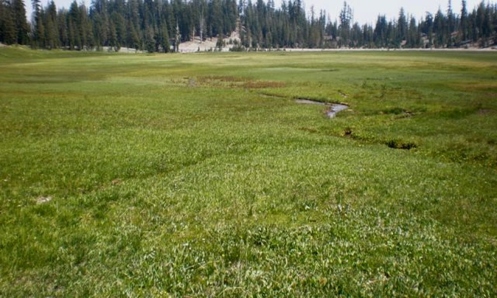
State 1 represents the reference state for this meadow system, a stable “E” type channel. The reference state is similar to the historic state, but may have been lightly affected by grazing and road construction. In a stable “E” channel, a stream’s velocity is balanced with its sediment transport capability. The stream banks are stable and protected with a dense mat of sedge roots and rhizomes. These channels are deeper than they are wide and have a high sinuosity. The stream frequently overtops the channel and floods onto the expansive floodplain.
Submodel
Description
This state represents the altered and degraded condition for this meadow complex. The stream has become unstable and readjusted itself to resemble a Rosgen “C” type channel. Several factors have caused this change. The triggers are discussed in Transition 1. The banks have eroded creating a wide, shallow channel with point bars. The channel is continually down-cutting, increasing the channel gradient and lowering the water table. The combination of the initial disturbances with the lower water table has shifted the plant composition toward drier community types, reducing the distribution of the beneficial sedges.
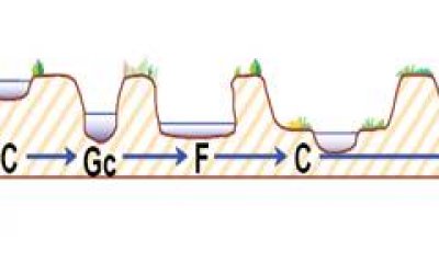
The Rosgen Stream Succession diagram below shows a possible stream succession pathway for this ecological site. The STM above only incorporates the shifts from an “E” type channel to a “C” type channel. The lower reaches of this ecological site in Dersch Meadow may be going through later stages of stream succession, but channel measurements have not been taken to fully develop these concepts. Further down-cutting and the lowering of the water tables could trigger the development of later stages of stream succession.
If the “C” type channel in State 2 continues to down-cut, an entrenched low gradient “Gc” type channel develops. This gully-like entrenched channel is unstable and will naturally begin to widen over time into an entrenched “F” type channel. These deeply incised channels (“Gc” and “F”) generally lose the wetland obligate species and become dominated by upland grass, shrub and/or forest plant communities. The broadly entrenched “F” type channel allows for sediment deposition, which builds point bars and floodplains with a meandering channel. Riparian vegetation begins to reestablish on the new floodplains, which increases channel stability. An entrenched “C” type channel with a developed floodplain and a meandering channel will eventually develop within the entrenched “F” type channel. If conditions remain stable, the “C” type channel will narrow and deepen, creating an entrenched “E” type channel. This new “E” type channel may resemble the original “E” type channel with wetland plant communities, but it will be constrained by terraces to the lower floodplain area. The old floodplain becomes a terrace, disconnected from flood events. The terrace has a lower seasonally water table which supports upland plant communities.
Submodel
Mechanism
This transition is often initiated by a disturbance that alters the hydrology of the site or impacts the vegetation along the stream bank. Alterations that can affect the hydrology of this site include channel realignment and/or confinement, culvert installations, and road construction. Previous cattle grazing may have reduced the vegetation along the stream banks and caused bank erosion with their hooves. Non-native grasses may have been seeded for forage. The alterations mentioned above have straightened the channel, eliminating its ability to meander. This increases the shear stress along the stream bank, which accelerates stream bank erosion, thereby increasing sediment supply and decreasing sediment transport capacity. This causes channel aggredation, in which the channel fills with sediment. As the channel fills it becomes wider and shallower, causing even more bank erosion and more sediment supply. This now-wider and shallower channel is more representative of a “C” type channel (Rosgen, 1996). As the channel straightens it has a shorter course down the valley, creating a steeper gradient. The stream may adjust by headcutting into the base level of the channel until it establishes a new gradient through the meadow. As the stream bed is lowered, so is the water table in the meadow. The new larger and steeper channel can contain more flow, reducing the frequency of flooding and the extent of the floodplain. Grazing can cause the same processes mentioned above, but uses a different trigger. The removal of the riparian vegetation by grazing and the trampling of the exposed stream banks cause bank erosion. The eroding banks create sediments that are deposited downstream, and the processes above are initiated.
Mechanism
The processes that have altered this stream system are not easy to restore. The goals are to raise the water table, increase the channel sinuosity, and re-establish riparian vegetation on the stream banks (particularly those sedges with thick root mats) to hopefully reduce bank erosion. Each segment of the stream channel should be surveyed to determine if the channel needs to be restored and, if so, will restoration be effective? Some questions to consider are: what caused the change in the hydrology; is the site cut off from its full water supply; is it getting excess flow; has the channel been manipulated and channelized; can the stream be reconstructed to its natural course or to a suitable alternative; is the channel headcutting and, if so, what is causing this and can it be restored?
Model keys
Briefcase
Add ecological sites and Major Land Resource Areas to your briefcase by clicking on the briefcase (![]() ) icon wherever it occurs. Drag and drop items to reorder. Cookies are used to store briefcase items between browsing sessions. Because of this, the number of items that can be added to your briefcase is limited, and briefcase items added on one device and browser cannot be accessed from another device or browser. Users who do not wish to place cookies on their devices should not use the briefcase tool. Briefcase cookies serve no other purpose than described here and are deleted whenever browsing history is cleared.
) icon wherever it occurs. Drag and drop items to reorder. Cookies are used to store briefcase items between browsing sessions. Because of this, the number of items that can be added to your briefcase is limited, and briefcase items added on one device and browser cannot be accessed from another device or browser. Users who do not wish to place cookies on their devices should not use the briefcase tool. Briefcase cookies serve no other purpose than described here and are deleted whenever browsing history is cleared.
Ecological sites
Major Land Resource Areas
The Ecosystem Dynamics Interpretive Tool is an information system framework developed by the USDA-ARS Jornada Experimental Range, USDA Natural Resources Conservation Service, and New Mexico State University.


