WET MEADOW 8-12 P.Z.

Scenario model
Current ecosystem state
Select a state
Management practices/drivers
Select a transition or restoration pathway
- Transition T1A More details
- Transition T1B More details
- Transition T2 More details
-
No transition or restoration pathway between the selected states has been described
Target ecosystem state
Select a state
Description
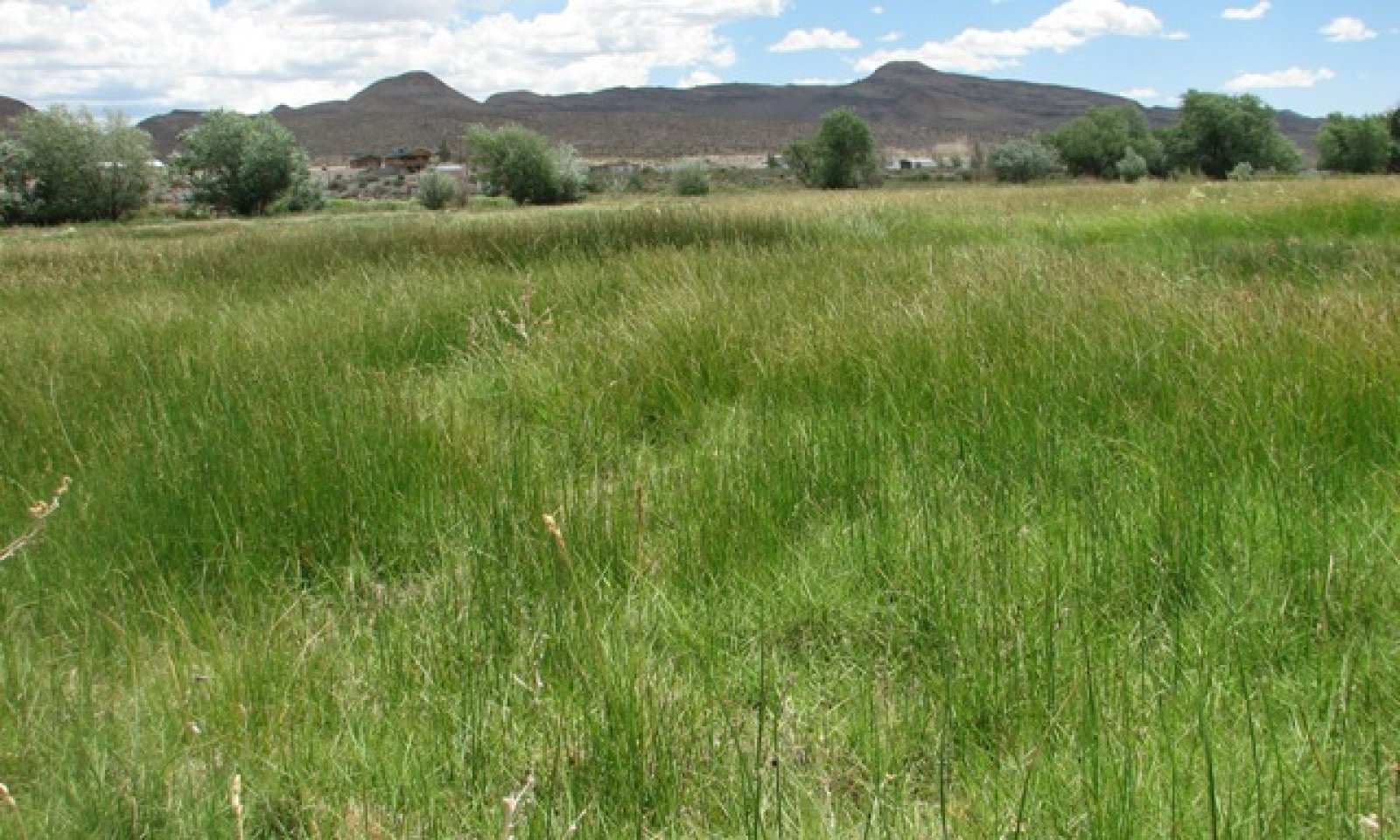
The Reference State represents the plant communities that are adapted to a high water table under a natural disturbance regime. There are two community phases in this state. Community Phase 1.1 is dominated by rhizomatous sedges, like Nebraska sedge (Carex nebracensis) or northwest territory sedge (Carex utriculata) and rushes, like Baltic rush (Juncus arcticus). The sedges in this community are tolerant to saturated soil conditions. Community Phase 1.2 is still dominated by sedges and rushes, but the species of sedge is shifted to a more grazing tolerant sedge, like Nebraska sedge. Northwest territory sedge is less tolerant to grazing pressure and Nebraska sedge often becomes dominant when wet meadows are grazed.
Submodel
Description
The Current Potential State is similar to the Reference State except the plant communities have non-native species present. The presence of non-native species, especially those that are invasive, lowers the resistance and resiliency of the state. Invasive/non-native plants that can come in with a high water table are meadow foxtail (Alopecurus arundinaceus), quackgrass (Elymus repens), reed canarygrass (Phlaris arundinacea), and Kentucky bluegrass (Poa pratensis). These species are also more tolerant of grazing and can increase and may become dominant.
Submodel
Description
The Degraded/Lower water table State develops after a permanent lowering of the water table. This can occur from excessive grazing that can cause meadow downcutting or through artificial meadow drainage to decrease soil saturation. State 1 and State 2 can transition to this state, however State 2 is more likely to transition to State 3 through improper grazing management. This state can be similar to drier meadow sites in early seral status. The site has crossed the threshold. This state cannot be returned to State 1 without raising the water table.
Submodel
Mechanism
This transition occurs after the introduction of non-native species.
Mechanism
This transition can occur with drainage of the site and lowering the water table.
Mechanism
This transition develops through permanently lowering the late growing season water table to 20-40 inches. This can occur with continued improper grazing management. It may also occur with proper grazing on the site, but channel erosion may continue if poor off-site conditions cause more frequent and/or severe flooding.
Model keys
Briefcase
Add ecological sites and Major Land Resource Areas to your briefcase by clicking on the briefcase (![]() ) icon wherever it occurs. Drag and drop items to reorder. Cookies are used to store briefcase items between browsing sessions. Because of this, the number of items that can be added to your briefcase is limited, and briefcase items added on one device and browser cannot be accessed from another device or browser. Users who do not wish to place cookies on their devices should not use the briefcase tool. Briefcase cookies serve no other purpose than described here and are deleted whenever browsing history is cleared.
) icon wherever it occurs. Drag and drop items to reorder. Cookies are used to store briefcase items between browsing sessions. Because of this, the number of items that can be added to your briefcase is limited, and briefcase items added on one device and browser cannot be accessed from another device or browser. Users who do not wish to place cookies on their devices should not use the briefcase tool. Briefcase cookies serve no other purpose than described here and are deleted whenever browsing history is cleared.
Ecological sites
Major Land Resource Areas
The Ecosystem Dynamics Interpretive Tool is an information system framework developed by the USDA-ARS Jornada Experimental Range, USDA Natural Resources Conservation Service, and New Mexico State University.