Shale (Sh) Big Horn Basin Rim
Scenario model
Current ecosystem state
Select a state
Management practices/drivers
Select a transition or restoration pathway
-
Transition T1A
Natural variability, frequent and severe grazing, severe ground disturbance, drought, or a combination of these factors eliminates or prevents perennial grass establishment and supports Gardner's saltbush.
More details -
Transition T1B
Frequent and severe grazing, ground disturbance, or drought with a seed source present provides weedy species the opportunity to invade this community.
More details -
Restoration pathway R2A
Long-term prescribed grazing allows existing populations to gain vigor and encourages seedlings if seed source is available and climatic conditions are favorable. This site may require mechanical or cultural inputs to allow minor improvements in a foreseeable time frame.
More details -
Transition T2A
Drought, frequent or severe grazing, non-use, or ground disturbance with seed source present exposes this barren community to invasion by weedy species.
More details -
Restoration pathway R3A
Integrated pest management with grazing lands mechanical treatment, or rangeland seeding with prescribed grazing will be required inputs to alter the soils and hydrology of this site to allow a desirable plant cover to establish and control the invasive species (species dependent.)
More details -
Transition T4A
Drought, lack of maintenance, or further ground disturbance with seed source present exposes this disturbed community to (re-)invasion by weedy species.
More details -
No transition or restoration pathway between the selected states has been described
Target ecosystem state
Select a state
Description
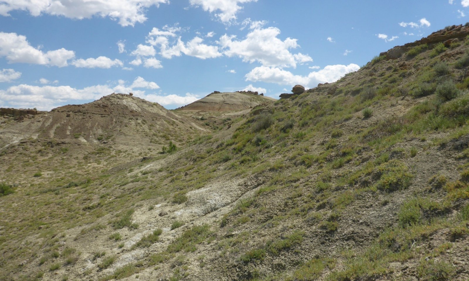
The Shale ecological site is a complex concept that includes a wide range of soil chemistry that creates a salt-tolerant community, much like Saline Upland ecological sites. However, the plant community is low in diversity because of this complexity. Field sampling cannot capture the full dynamic of the chemistry and the current lack of soil laboratory data prevents clear separation of specific characteristics. Composition and production for this, the Reference State, and for State 2 have been designed to incorporate the range of possibilities.
Soils within the Shale Big Horn Basin Rim site have a wide range of alkali, saline, sodic and gypsum influences, and are characterized by Gardner's saltbush-dominated plant communities. These communities may also have birdfoot sagebrush, Pursh seepweed, and greasewood in some locations.
Characteristics and indicators
Gardner's Saltbush, and other salt-tolerant dwarf shrubs, contributes 60 percent of this community. The grass, comprising 30 percent of the plant community, is predominately bottlebrush squirreltail; however, Indian ricegrass, rhizomatous wheatgrasses, and alkali sacaton are common. Needle and thread and threadleaf sedge are incidental in this state. The forb component is minor with only 10 percent of the production from a few select forbs. A variety of biscuitroot/desertparsley (Lomatium ), wild onion, and woodyaster are found in this state. As this site degrades, flatspine stickseed will increase.
Resilience management
The chemistry and soil tendencies of this ecological site reduces the general resilience of this site. The hardiness of the species on this site make it resistant to change.
Submodel
Description
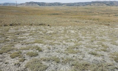
Although Gardner's saltbush/bare ground community is the most common community identified across the Big Horn Basin, there is a rationale to be considered on timing of the year of inventory, the soil-specific conditions, and climatic factors for the year. Complexity of chemistry may be one factor for the lack of grasses and forbs in this state, but drought and management can also contribute to the shift. Determination of the drivers for specific shifts to this community are not conclusive and require additional investigation. It is recognized, however, that continuous grazing pressure and drought conditions, the productivity and sustainability of most perennial grasses diminish, creating a shrub-dominated state. In the absence of invasive species, this state will persist on the landscape.
Characteristics and indicators
Gardner’s saltbush stands as a near-monoculture on this site. Forbs and a few other woody species will persist on this site; however, all perennial grasses have been removed from this community.
Resilience management
In the absence of invasive species, this state will persist on the landscape. Very long-term prescribed grazing and grazing land mechanical treatment (with possible seeding) may be practices that can be used to bring this state near or similar to Reference. Remnant populations of native perennial grasses are rare driving the need for inter-seeding to reestablish herbaceous species to this community. No research was located for large areas of revegetation, but limited success has occurred with seeding trials completed by the Bureau of Land Management (BLM) and the University of Wyoming.
Submodel
Description
Areas of weed-free shale communities that are surrounded by weed-dominated communities of associated sites create the appearance of being resistant to invasion by many undesirable species threatening the rangelands today. Shale soils are still vulnerable to a selection of species that still present issues as these lands are disturbed by development, continued drought, and shifts in use patterns. Many of these sites are at-risk from local threats such as mustards, Russian thistle, and clasping pepperweed; as well as the national threats of halogeton, cheatgrass (downy brome), and a variety of thistles. The persistence, resistance, and resilience of the specific risk is species-dependent.
Characteristics and indicators
This site will maintain a saltbush dominated community that may resemble Community phases 1.1, 1.2, or 2.1 but with a significant presence (5 percent or greater) of an invasive weed.
Resilience management
The persistence, resistance and resilience of specific is species dependent.
Submodel
Description
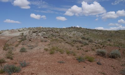
Recreation (all-terrain vehicles, known as ATVs), roads, trails, and mining and energy development are the land uses that have had a majority of an impact on this site. Soils that are correlated as Shale rank low on capability classes and tend to be labeled as non-useable or non-productive, and either no attempt was made to reclaim areas or reseeding attempts have failed. As this land recovers and is restored or reclaimed, or if further disturbances occur, the site potential and stability is greatly affected.
Characteristics and indicators
Lands that fall within this State have had major soil disturbance, human - animal - or natural, that has altered the surface, contact with the paralithic or lithic layer, or has removed the saltbush community from the site. Increased erosion, loss of the saltbush cover, evidence of mechnaical manipulation of the site, and early successional plants dominating the community (non-invasive weeds) are key indicators of this State.
Resilience management
The natural succession of disturbed sites are driven by soil chemistry and hindered by the erosive tendencies of the soils. The limitation to resiliency in this State is the inability for the soils to recover or return to an undisturbed condition once mechanically altered.
Submodel
Mechanism
Natural variability, frequent and severe grazing, severe ground disturbance, or Drought—The combination of frequent and severe grazing and drought reduces the key bunchgrasses of this community. With no recovery time or rest, the herbaceous species may become very sparse and grasses specifically will be removed from the community leaving a saltbush-dominated site. Extended long periods of drought alone or severe ground disturbance reduces or inhibits resiliency of this community, including Gardner's saltbush. Combinations of soil chemistry may also be a natural factor for the lack of grasses in the system. Soils that are high in both sodium and gypsum commonly are less accommodating to grasses.
Constraints to recovery
The soil chemistry, fine-earth textures, and depth to shale create a hostile environment for seedling establishment. The added tendency of forming soil crusts, which become extremely hard or “fluffy,” and the lack of seed source make it very difficult for this community to recover under natural circumstances.stances.
Context dependence
Recovery is not a factor for those communities that are results of a variability or complexity in the soil chemistry driving the lack of herbaceous cover. this natural variability is an influence of the natural soil profile and would be considered the reference potential of that location.
Mechanism
Frequent and severe grazing, ground disturbance, or drought with a seed source prese nt—The combination of frequent and severe grazing and drought reduces the key bunchgrasses of this community and provides invasive species the opportunity to establish once the seed source is present. Hoof impact, an intensive storm event, or other single disturbance can be enough to create the niche needed for invasive species seedling establishment.
Constraints to recovery
Weed control technology limits the ability for these sites to recover. Access to sites, chemical limits with the high chemistry in the soil, and the lack of eradication methods for most major invasive weeds are the recover constraints for this community.
Restoration pathway R2A


Mechanism
Prescribed grazing (long-term), (possibly with seeding)—By reducing use and allowing native grasses to recover with prescribed grazing, the potential to recover is dependent upon a seed source and climate. However, the time required may not be feasible. Native seed mixtures that have been proven to tolerate saline, sodic, or saline/sodic soils are not necessarily the key species for the Reference communities. Once a site is seeded (drilled or broadcast seeding), the response to management and climatic conditions may be altered, and the site will not function as a native (undisturbed) site, and would correlate as a reclaimed site.
Mechanism
Non-use, ground disturbance (with seed source present), drought, frequent or severe grazing—Once a community has transitioned to a saltbush-dominated community, productivity and functionality of the site are at risk. If further disturbance (livestock, human, or environmental disturbance) occurs, or a seed source is introduced into this at-risk community, annuals and other less desirable species gain the opportunity to establish.
Constraints to recovery
The ease of access due to slope and lack of desirable roads, as well as soil inhibitions with herbicides can make treating or controlling weeds difficult. The need to stabilize the soils (reduce erosion) along with weed control can make the economics of treating this community challenging. The specific species of invasive weeds that are established on a location, the size of the community that is being treated, and the specific soil chemistry will all alter how a location will respond to the invasion and the treatment.
Mechanism
Integrated pest management, grazing land mechanical treatment, or rangeland seeding with prescribed grazing—Once invasive species such as cheatgrass, halogeton , or thistles are established, complete eradication generally is not a feasible option, limiting the ability to restore the community to a higher state. An invaded site, however, can be restored to a functional plant community through intensive or integrated pest management. Grazing land mechanical treatments to reduce existing invasive populations and to introduce forage species that are desirable, adapted to the soils, and able to compete with the invasive species will possibly improve the grazing suitability of this community. Establishment will be slow and the variety of available seed sources for saline, sodic, alkaline, or gypsic soil conditions is limited; however, small-scale projects have been achieved with marginal success.
Relevant conservation practices
| Practice | External resources |
|---|---|
|
Critical Area Planting |
|
|
Mulching |
|
|
Prescribed Grazing |
|
|
Grazing Land Mechanical Treatment |
|
|
Range Planting |
|
|
Heavy Use Area Protection |
|
|
Integrated Pest Management (IPM) |
|
|
Upland Wildlife Habitat Management |
|
|
Planned Grazing System |
|
|
Native Plant Community Restoration and Management |
|
|
Prescribed Grazing |
|
|
Invasive Plant Species Control |
|
|
Grazing Management Plan |
|
|
Improve the plant diversity and structure of non-cropped areas for wildlife food and habitat |
|
|
Monitor key grazing areas to improve grazing management |
|
|
Intensive Management of Rotational Grazing |
|
|
Biological suppression and other non-chemical techniques to manage herbaceous weeds invasive species |
|
|
High level Integrated Pest Management to reduce pesticide environmental risk |
|
|
Monitoring and Evaluation |
|
|
Herbaceous Weed Control |
|
|
Prescriptive grazing management system for grazed lands |
Mechanism
Non-use, disturbance, severe and frequent grazing, or drought with a seed source present—Soils become loose because of non-use or when the decrease in key species due to severe and frequent grazing, drought, or disturbance opens the canopy and provides opportunity for invasive species to establish. Continued pressure, added disturbances, or introduction of undesirable species will weaken and trigger a shift from the Degraded State to an Invaded State.
Constraints to recovery
The inability to eradicate or suppress many invasive species is the major constraint to recovery.
Model keys
Briefcase
Add ecological sites and Major Land Resource Areas to your briefcase by clicking on the briefcase (![]() ) icon wherever it occurs. Drag and drop items to reorder. Cookies are used to store briefcase items between browsing sessions. Because of this, the number of items that can be added to your briefcase is limited, and briefcase items added on one device and browser cannot be accessed from another device or browser. Users who do not wish to place cookies on their devices should not use the briefcase tool. Briefcase cookies serve no other purpose than described here and are deleted whenever browsing history is cleared.
) icon wherever it occurs. Drag and drop items to reorder. Cookies are used to store briefcase items between browsing sessions. Because of this, the number of items that can be added to your briefcase is limited, and briefcase items added on one device and browser cannot be accessed from another device or browser. Users who do not wish to place cookies on their devices should not use the briefcase tool. Briefcase cookies serve no other purpose than described here and are deleted whenever browsing history is cleared.
Ecological sites
Major Land Resource Areas
The Ecosystem Dynamics Interpretive Tool is an information system framework developed by the USDA-ARS Jornada Experimental Range, USDA Natural Resources Conservation Service, and New Mexico State University.


