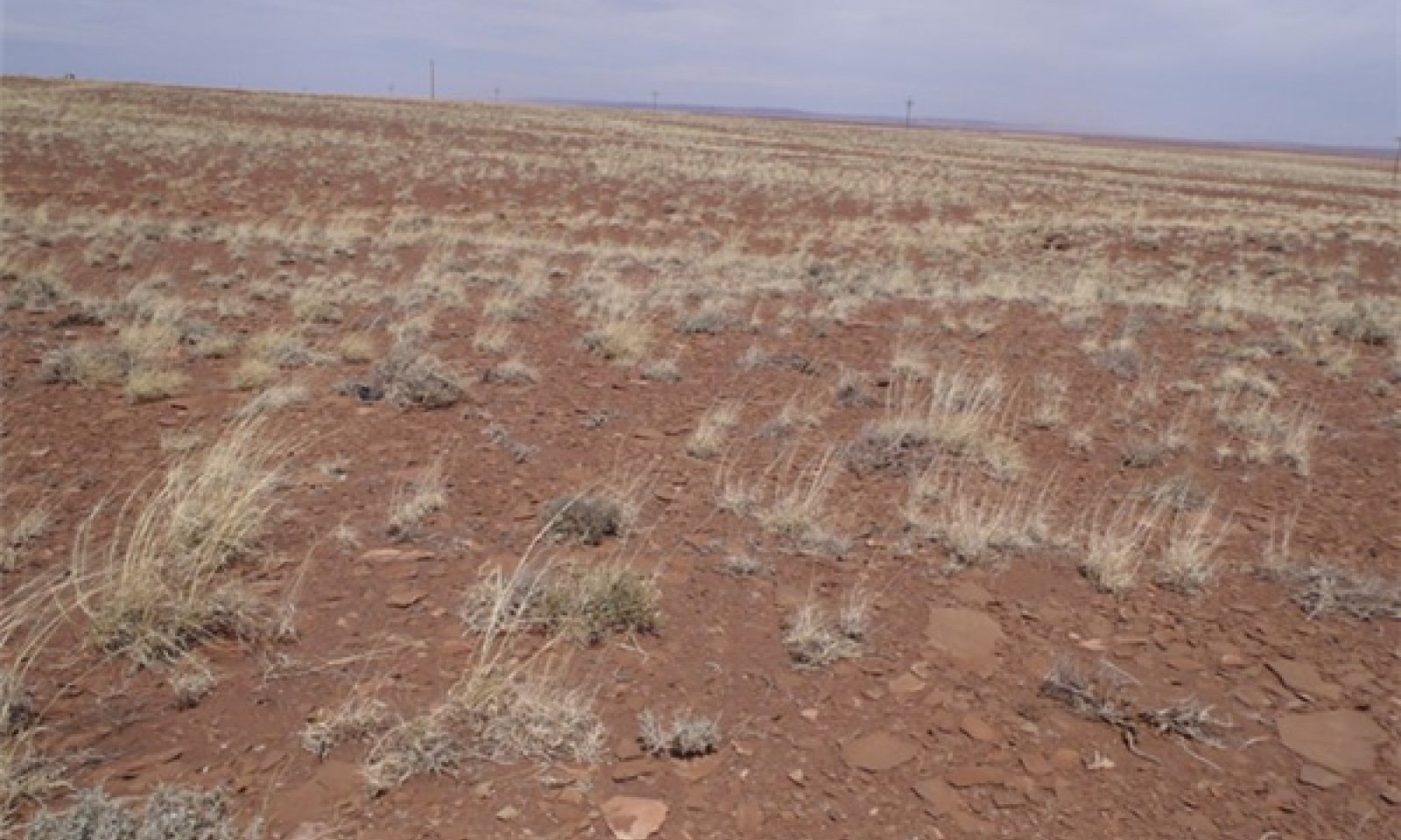
Sandstone/Shale Upland 6-10" p.z.
Scenario model
Current ecosystem state
Select a state
Management practices/drivers
Select a transition or restoration pathway
- Transition T1A More details
- Transition T2A More details
- Restoration pathway R3A More details
-
No transition or restoration pathway between the selected states has been described
Target ecosystem state
Select a state
Description
The reference state and the reference (climax) plant community has been determined by study of relict areas or areas protected from excessive disturbances. Trends in plant communities going from heavily grazed areas to lightly grazed areas, seasonal use pastures and historical accounts have also been used.
This reference state is characterized as a native mid and short grassland dominated by black grama and galleta with shrubs like Bigelow sagebrush and shadscale saltbush. Sites dominated by sandstone will show a slight dominance of Bigelow sagebrush and sites dominated by shale will show a slight dominance of shadscale.
Plant species most likely to invade or increase on this site when it deteriorates are broom snakeweed, Russian thistle and cacti.
Unmanaged grazing during the winter and spring periods will decrease the cool season grasses, which are replaced by lower forage value grasses and shrubs.
Submodel
Description
This plant community state closely resembles the reference state plant communtiy, but introduced annuals, such as cheatgrass and Russian thistle are present in amounts up to 15% composition.
Submodel
Description
This plant community is characterized as a shrubland with an invasion of halogeton. Common species in this plant community are Shadscale, Bigelow sagebrush, snakeweed, galleta, Russian Thistle and halogeton.
Submodel
Mechanism
Introduction of non-native annuals species creates an irreversible change in the plant community.
Mechanism
Disturbed soil surface, improper grazing, reduced perennial plant cover, seed source for halogeton introduction and establishment.
Model keys
Briefcase
Add ecological sites and Major Land Resource Areas to your briefcase by clicking on the briefcase (![]() ) icon wherever it occurs. Drag and drop items to reorder. Cookies are used to store briefcase items between browsing sessions. Because of this, the number of items that can be added to your briefcase is limited, and briefcase items added on one device and browser cannot be accessed from another device or browser. Users who do not wish to place cookies on their devices should not use the briefcase tool. Briefcase cookies serve no other purpose than described here and are deleted whenever browsing history is cleared.
) icon wherever it occurs. Drag and drop items to reorder. Cookies are used to store briefcase items between browsing sessions. Because of this, the number of items that can be added to your briefcase is limited, and briefcase items added on one device and browser cannot be accessed from another device or browser. Users who do not wish to place cookies on their devices should not use the briefcase tool. Briefcase cookies serve no other purpose than described here and are deleted whenever browsing history is cleared.
Ecological sites
Major Land Resource Areas
The Ecosystem Dynamics Interpretive Tool is an information system framework developed by the USDA-ARS Jornada Experimental Range, USDA Natural Resources Conservation Service, and New Mexico State University.
