Alkali Bottom (Greasewood)
Scenario model
Current ecosystem state
Select a state
Management practices/drivers
Select a transition or restoration pathway
- Transition T1 More details
- Transition T2a More details
- Transition T2b More details
- Transition T3a More details
- Restoration pathway R4 More details
-
No transition or restoration pathway between the selected states has been described
Target ecosystem state
Select a state
Description
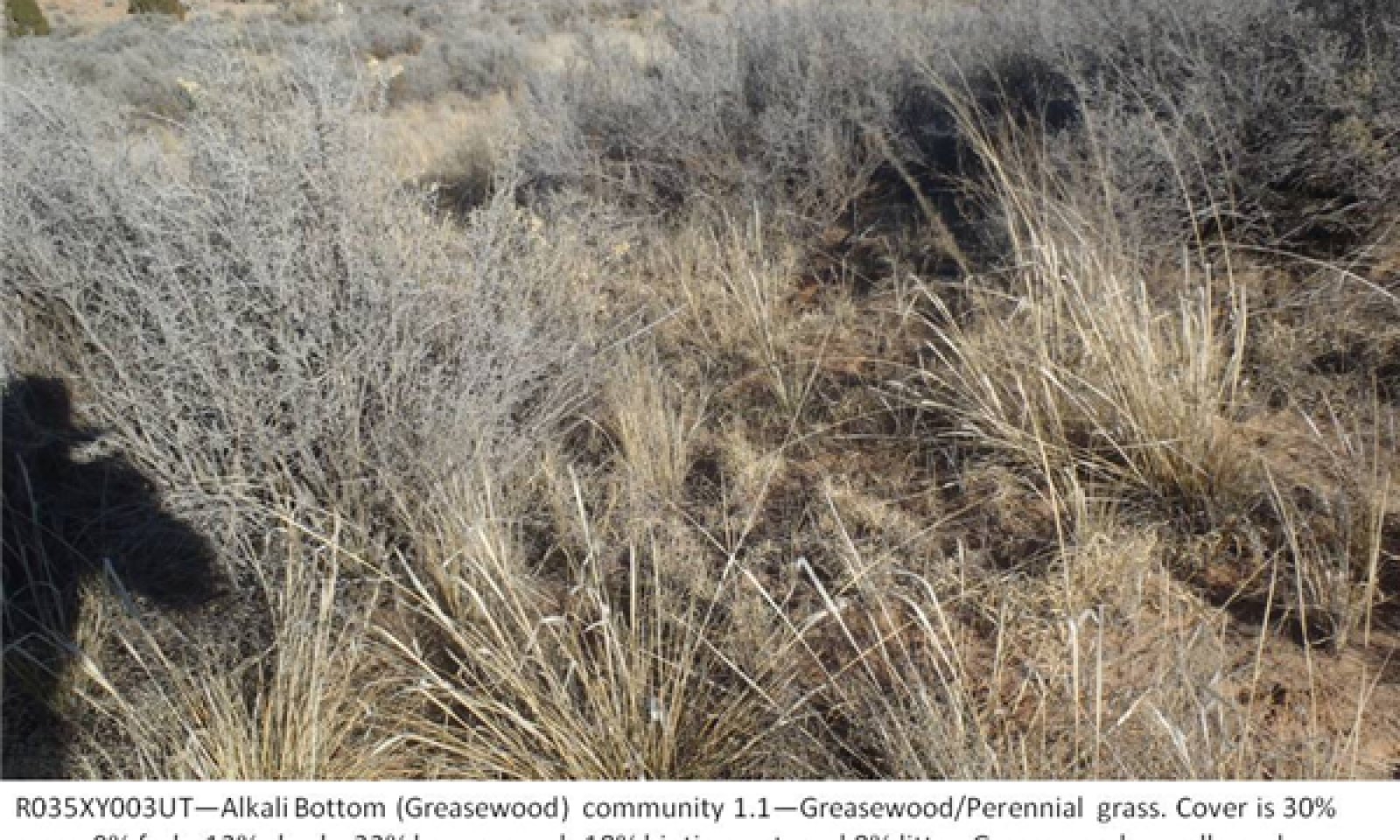
The reference state contains plant communities presumed to occur on the Alkali Bottom site prior to the introduction of non-native plants, livestock grazing, and other modern disturbances. The reference state is generally dominated by greasewood and deep-rooted perennial bunchgrasses. Greasewood harvests salts from the soil profile and concentrates them in its leaves. As a result, salts are deposited on the soil surface when the leaves are dropped or burned, which increases salinity and pH under greasewood plants. Seepweed commonly establishes in the harsh soils under greasewood plants, while perennial grasses and forbs tend to dominate the spaces between shrubs.
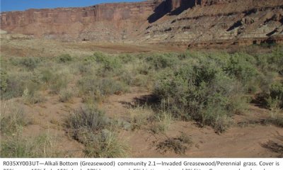
Invasive plant species, particularly cheatgrass and Russian thistle, can establish on the site given a seed source and germination sites in disturbed soil. These invasive annuals require little or no disturbance to establish. Once invasive plants establish, return to the reference state may not be possible.
Submodel
Description
The invaded state is similar to the reference state in composition and ecological function, but allows for non-native species to be present. It also includes an at-risk plant community with reduced perennial grass production. When perennial grasses are losing vigor and the ability to propagate themselves, this state is at risk of transitioning to the depleted understory state, which is not capable of recovering perennial grasses without significant management inputs.
Submodel
Description
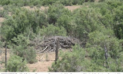
The depleted understory state occurs when perennial grasses have been lost from the understory. Perennial forbs may also be reduced. Interspaces may be sparsely vegetated or dominated by Russian thistle or other annual invasive species. This state is not as capable of carrying fire due to a reduction in fine fules. As a result, greasewood may continue to increase as the understory continues to be reduced.
Submodel
Description
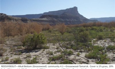
This state primarily occurs on low stream terraces. The stream provides a corridor for tamarisk invasion, which spreads throughout the alkali bottom on low stream terraces, eventually dominating the site.
Submodel
Mechanism
Establishment and persistence of non-native species results in a transition from the reference state to the invaded state.
Mechanism
This transition occurs when perennial grasses are reduced by improper grazing to the point that they can no longer self-propagate. Few remnant plants may still persist under shrubs, but re-establishment and dominance by perennial grasses will not occur following a fire, or with the removal of livestock grazing.
Mechanism
This transition only occurs when the site is on low stream terraces. The stream provides a corridor for tamarisk invasion, which spreads to low terraces dominated by greasewood.
Mechanism
This transition most commonly occurs when the site is on low stream terraces. The stream provides a corridor for tamarisk invasion, which spreads to greasewood-dominated floodplains.
Mechanism
This community pathway may occur with tamarisk control efforts, either mechanical or biological. The saltcedar leaf beetle (Diorhabda elongata)can cause enough stress to kill tamarisk in 5-7 years (Richman, Biological Control Field Guide for Utah).
Model keys
Briefcase
Add ecological sites and Major Land Resource Areas to your briefcase by clicking on the briefcase (![]() ) icon wherever it occurs. Drag and drop items to reorder. Cookies are used to store briefcase items between browsing sessions. Because of this, the number of items that can be added to your briefcase is limited, and briefcase items added on one device and browser cannot be accessed from another device or browser. Users who do not wish to place cookies on their devices should not use the briefcase tool. Briefcase cookies serve no other purpose than described here and are deleted whenever browsing history is cleared.
) icon wherever it occurs. Drag and drop items to reorder. Cookies are used to store briefcase items between browsing sessions. Because of this, the number of items that can be added to your briefcase is limited, and briefcase items added on one device and browser cannot be accessed from another device or browser. Users who do not wish to place cookies on their devices should not use the briefcase tool. Briefcase cookies serve no other purpose than described here and are deleted whenever browsing history is cleared.
Ecological sites
Major Land Resource Areas
The Ecosystem Dynamics Interpretive Tool is an information system framework developed by the USDA-ARS Jornada Experimental Range, USDA Natural Resources Conservation Service, and New Mexico State University.


