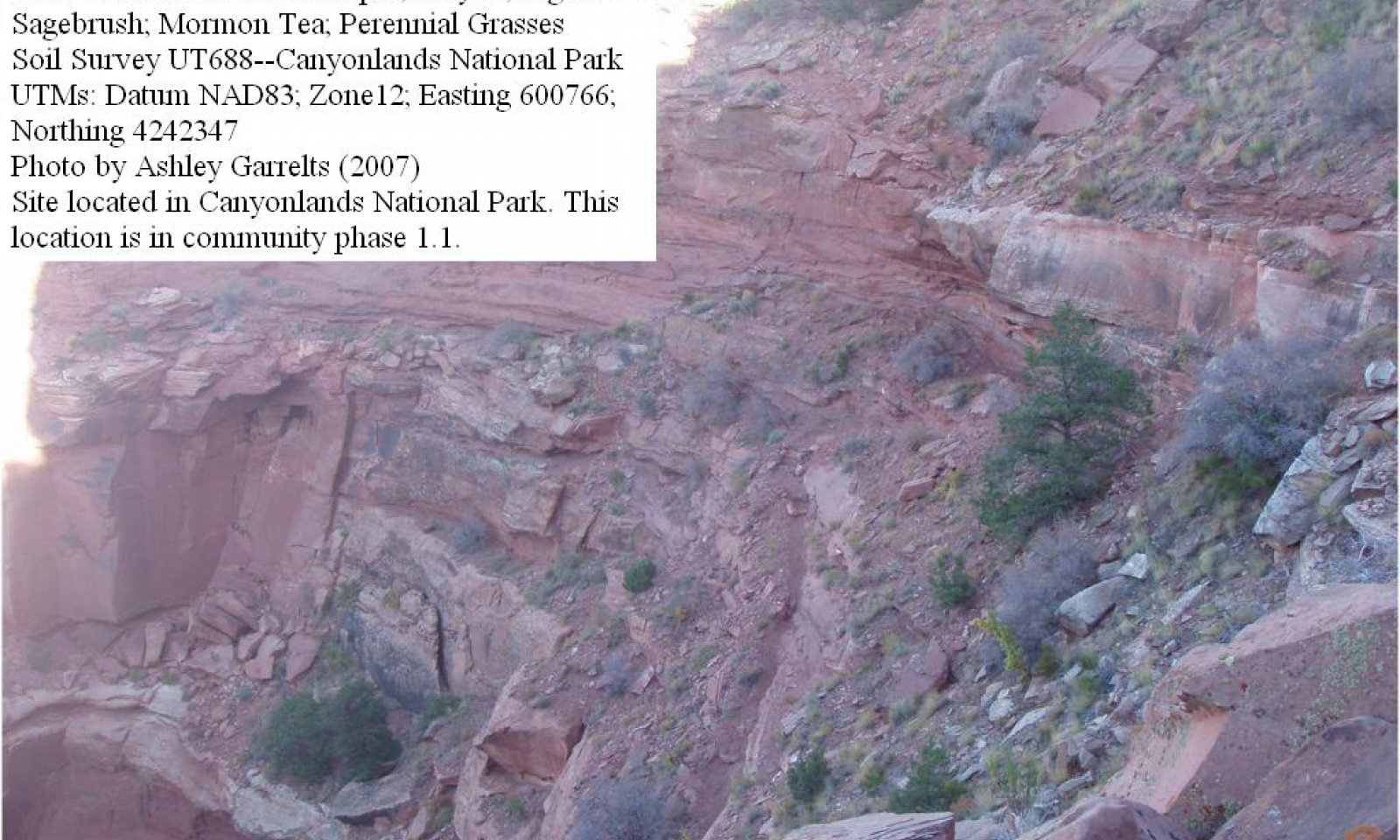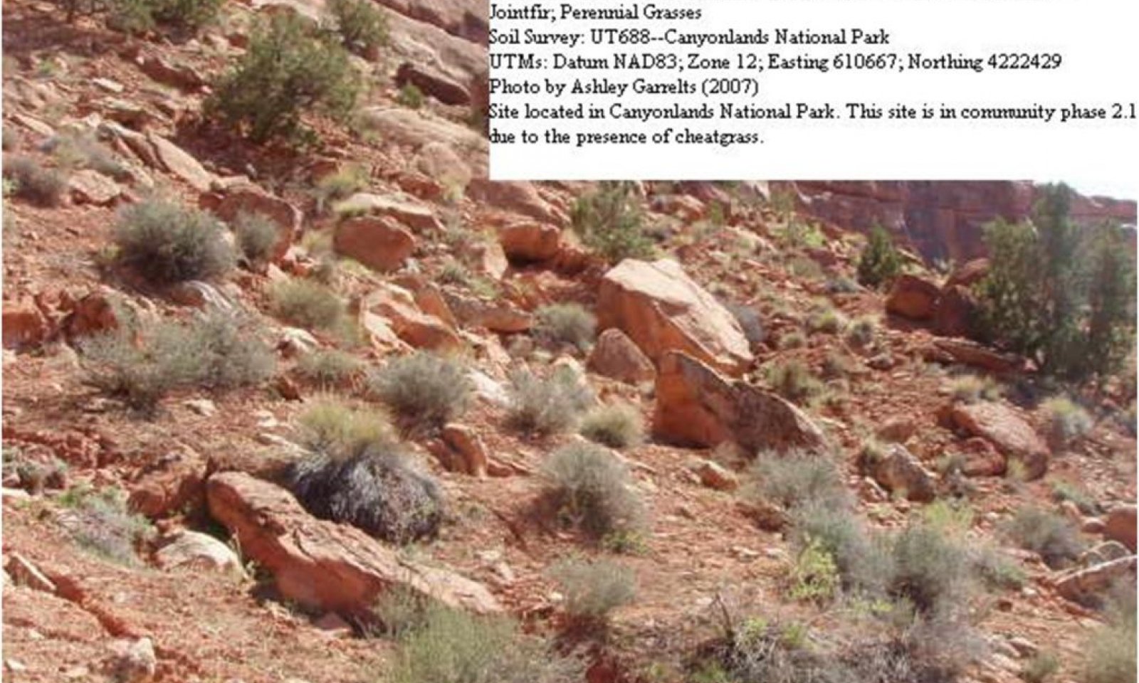
Semidesert Very Steep Stony Loam (Two-Needle Pinyon, Utah Juniper)
Scenario model
Current ecosystem state
Select a state
Management practices/drivers
Select a transition or restoration pathway
- Transition T1a More details
-
No transition or restoration pathway between the selected states has been described
Target ecosystem state
Select a state
State 1
Reference State


Description
This Reference State was determined by the study of rangeland relic areas and areas protected from excessive disturbance and influences such as grazing and recreation. Literature review, historical accounts and observations of trends in plant community dynamics under a variety of sites has also been considered. Community phases, community pathways, other states, transitions, and thresholds, have been determined through similar studies and experience.
This state represents the natural range of variability that historically dominated the dynamics of this ecological site. This state includes the biotic communities that would have been expressed on the ecological site if all successional sequences were completed without interferences by man under the present environmental conditions; natural disturbances are inherent in its development. This state is dominated by a very sparse canory of two-needle pinyon and Utah juniper with a well developed understory of native shrubs, perennial grasses and perennial and annual forbs. The primary disturbance mechanisms for this site in the reference condition include drought and insects.
Reference state: Community phases maintained by drought and insect pathogen cycles.
Indicators: A well developed shrub and grass understory co-existing with a canopy of Utah juniper and Two-needle pinyon.
Feedbacks: Infrequent, but regular droughts that reduce tree cover.
At-risk Community Phase: All communities are at risk when plants in the understory are stressed, and nutrients become available for invasives to establish.
Trigger: The introduction of invasive plants into the understory.
Submodel
State 2
Current Potential State


Description
This state is very similar to the reference state, except that invasive grasses and/or forbs are present in all phases. The primary disturbance mechanisms for this state include natural and human caused disturbances; however, due to steep slopes there are very little man induced disturbances. Drought and insects may influence the community shifts. Trailing of livestock to water and some minor recreational activities (i.e. hiking) are the most common and have very little impact on the site other than introduction of invasive grasses and forbs. The shift in species composition could affect nutrient cycling, hydrology and soil stability. At this time there is no known way to effectively remove invasive plants from the site once they have become established. Therefore, this site is often irreversibly altered from the reference state
Current Potential State: Community phases maintained by drought and insect herbivory cycles.
Indicators: A shrub and grass understory co-existing with a canopy of Utah juniper.
Feedbacks: Infrequent, but regular droughts to reduce tree cover. Establishment of invasive plant species such as cheatgrass.
Submodel
Mechanism
Transition from Reference State (State 1) to Current Potential State (State 2).
This transition from the perennial grass and forb understory found in the reference state to a state that has contains invasive plants. This transition occurs as natural and/or management actions favor an increase in invasive grasses and forbs, especially annuals. Possible events include the mere presence of invasive species seed sources and extended droughts.
Model keys
Briefcase
Add ecological sites and Major Land Resource Areas to your briefcase by clicking on the briefcase (![]() ) icon wherever it occurs. Drag and drop items to reorder. Cookies are used to store briefcase items between browsing sessions. Because of this, the number of items that can be added to your briefcase is limited, and briefcase items added on one device and browser cannot be accessed from another device or browser. Users who do not wish to place cookies on their devices should not use the briefcase tool. Briefcase cookies serve no other purpose than described here and are deleted whenever browsing history is cleared.
) icon wherever it occurs. Drag and drop items to reorder. Cookies are used to store briefcase items between browsing sessions. Because of this, the number of items that can be added to your briefcase is limited, and briefcase items added on one device and browser cannot be accessed from another device or browser. Users who do not wish to place cookies on their devices should not use the briefcase tool. Briefcase cookies serve no other purpose than described here and are deleted whenever browsing history is cleared.
Ecological sites
Major Land Resource Areas
The Ecosystem Dynamics Interpretive Tool is an information system framework developed by the USDA-ARS Jornada Experimental Range, USDA Natural Resources Conservation Service, and New Mexico State University.

