Loamy Upland 16-20" p.z.
Scenario model
Current ecosystem state
Select a state
Management practices/drivers
Select a transition or restoration pathway
- Transition T1a More details
- Restoration pathway R2a More details
- Transition T2a More details
- Transition T2b More details
- Restoration pathway R3a More details
- Transition T3a More details
- Restoration pathway R4a More details
- Restoration pathway R5a More details
-
No transition or restoration pathway between the selected states has been described
Target ecosystem state
Select a state
Description
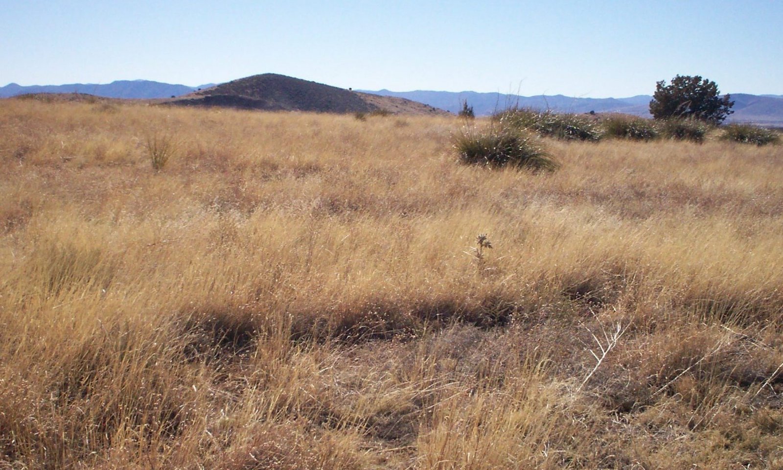
The Midgrass State is the Reference Plant Community. It is a warm season dominated grassland (canopy cover of 55 to 65%) with an important component of cool season grasses that fluctuate with climate. Cool and warm season annual grasses and forbs are well represented in the flora. Half shrubs and perennial forbs are an important group also. Fire return intervals are difficult to determine in woody plant communities in this LRU. However, periodic wildfires likely occurred every 10 to 15 years from June through August, and controlled shrubs and succulents invading from adjacent, shallow soil, areas. In the absence of fire for long periods of time; shrubs, trees and cacti can dominate the site. The interactions of drought, fire and grazing can result in a loss of perennial grass cover. In these situations annuals, both native and non-native, can dominate the plant community. Non-native annuals can, over time, diminish the soil seed-bank of native annual species.
Submodel
Description
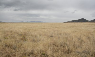
The Short grass state has a plant community dominated by short grasses.
Submodel
Description
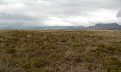
The Short grass / subshrub State is a community where high levels of snakeweed have established and are co-dominant with blue grama.
Submodel
Description
The eroded state is a plant community where blue grama abundance has been substantially reduced.
Submodel
Mechanism
Continuous livestock grazing with no summer deferrment.
Mechanism
Unknown. Contour ripping to break up the dominance of blue grama and allow other species to come in has been successful in blue grama dominated plant communities in central New Mexico (Pat Shaver, pers. comm.) and squirreltail is only observed in areas where pipelines have been ripped through blue grama communities north of Springerville, AZ. Contour ripping followed by range planting.
Mechanism
Continuous heavy livestock grazing with no summer deferment.
Mechanism
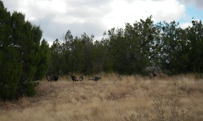
Juniper establishment and growth to maturity in the absence of fire.
Mechanism
Unknown. Contour ripping, range planting, prescribed grazing in the form of summer deferment.
Mechanism
Continued yearlong heavy livestock grazing with no summer deferment.
Mechanism
Long term application of prescribed grazing in the form of summer deferment. This restoration pathway likely only possible where soil erosion is less than 1/2 inch and very long term application of summer deferment.
Mechanism
Mechanical brush management with sufficient remnant perennial grass in the interspaces between trees. Reseeding may be needed where perennial grass is less than 25% canopy cover in the interspaces between trees. However, this needs additional investigation.
Model keys
Briefcase
Add ecological sites and Major Land Resource Areas to your briefcase by clicking on the briefcase (![]() ) icon wherever it occurs. Drag and drop items to reorder. Cookies are used to store briefcase items between browsing sessions. Because of this, the number of items that can be added to your briefcase is limited, and briefcase items added on one device and browser cannot be accessed from another device or browser. Users who do not wish to place cookies on their devices should not use the briefcase tool. Briefcase cookies serve no other purpose than described here and are deleted whenever browsing history is cleared.
) icon wherever it occurs. Drag and drop items to reorder. Cookies are used to store briefcase items between browsing sessions. Because of this, the number of items that can be added to your briefcase is limited, and briefcase items added on one device and browser cannot be accessed from another device or browser. Users who do not wish to place cookies on their devices should not use the briefcase tool. Briefcase cookies serve no other purpose than described here and are deleted whenever browsing history is cleared.
Ecological sites
Major Land Resource Areas
The Ecosystem Dynamics Interpretive Tool is an information system framework developed by the USDA-ARS Jornada Experimental Range, USDA Natural Resources Conservation Service, and New Mexico State University.


