Loamy Upland 12"-16" p.z.
Circle-spoke model
Scenario model
Current land use
Select a land use
Management practices/drivers
Select a conversion
- Conversion C More details
-
No conversion pathway between the selected land uses has been described
Target land use
Select a land use
Description
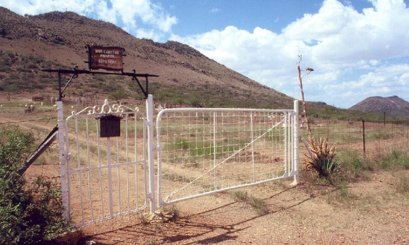
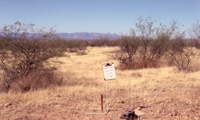
Rangeland uses of Loamy Upland, 12-16" pz., are most commonly livestock grazing, wildlife management and recreation; environmental services are many. Natural disturbances are fire, weather events, natural climatic cycling, and wildlife.
Submodel
Description
Cropland includes areas used for the production of adapted crops for harvest. Two subcategories of cropland are recognized: cultivated and non-cultivated. Cultivated cropland comprises land in row crops or close-grown crops and also other cultivated cropland, for example, hay land or pastureland that is in a rotation with row or close-grown crops. Non-cultivated cropland includes permanent hay land and horticultural cropland. In this MLRA-LRU, cultivated cropland is the more common category of use; all cropland is irrigated. Several row crops and close-grown crops are grown including cotton, corn, chili, and small grains. Hay land crops, alfalfa and bermudagrass, are rotated on a 3-5 year cycle.
When cropping and irrigation are suspended, annual forbs and annual grasses will dominate the newly barren field. Common annuals first to come in include Russian thistle, careless weed, and brome. Over time, shrubs and sub-shrubs will establish, initially in low-lying areas and eventually may come to dominate. Native perennial grasses will be largely absent; bermudagrass patches may establish in low-lying areas. Farm field maintenance, periodic tillage, will sustain the barren field with annual forbs and grasses.
After farming, the site may be restored to an area suitable to a grazing use. However, long-lasting changes in soil structure, hydrology, and nutrient availability prevent the site from returning to the Rangeland State and Transition Model. Restoration practices may be implemented to attain achieve land use goals such as increased forage availability. A desired plant community that will persist without continued watering may seeded before cessation of irrigation.
Model keys
Briefcase
Add ecological sites and Major Land Resource Areas to your briefcase by clicking on the briefcase (![]() ) icon wherever it occurs. Drag and drop items to reorder. Cookies are used to store briefcase items between browsing sessions. Because of this, the number of items that can be added to your briefcase is limited, and briefcase items added on one device and browser cannot be accessed from another device or browser. Users who do not wish to place cookies on their devices should not use the briefcase tool. Briefcase cookies serve no other purpose than described here and are deleted whenever browsing history is cleared.
) icon wherever it occurs. Drag and drop items to reorder. Cookies are used to store briefcase items between browsing sessions. Because of this, the number of items that can be added to your briefcase is limited, and briefcase items added on one device and browser cannot be accessed from another device or browser. Users who do not wish to place cookies on their devices should not use the briefcase tool. Briefcase cookies serve no other purpose than described here and are deleted whenever browsing history is cleared.
Ecological sites
Major Land Resource Areas
The Ecosystem Dynamics Interpretive Tool is an information system framework developed by the USDA-ARS Jornada Experimental Range, USDA Natural Resources Conservation Service, and New Mexico State University.


