Natural Resources
Conservation Service
Ecological site R041XC325AZ
Sandy Upland 12-16" p.z.
Last updated: 4/12/2021
Accessed: 02/11/2026
General information
Provisional. A provisional ecological site description has undergone quality control and quality assurance review. It contains a working state and transition model and enough information to identify the ecological site.

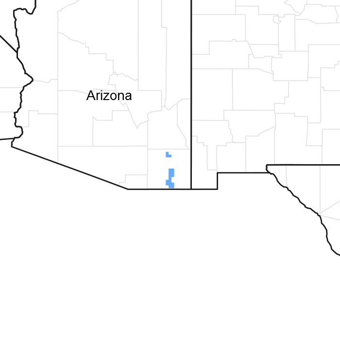
Figure 1. Mapped extent
Areas shown in blue indicate the maximum mapped extent of this ecological site. Other ecological sites likely occur within the highlighted areas. It is also possible for this ecological site to occur outside of highlighted areas if detailed soil survey has not been completed or recently updated.
MLRA notes
Major Land Resource Area (MLRA): 041X–Madrean Archipelago
AZ 41.3 – Chihuahuan – Sonoran Semidesert Grasslands
Elevations range from 3200 to 5000 feet and precipitation ranges from 12 to 16 inches per year. Vegetation includes mesquite, catclaw acacia, netleaf hackberry, palo verde, false mesquite, range ratany, fourwing saltbush, tarbush, littleleaf sumac, sideoats grama, black grama, plains lovegrass, cane beardgrass, tobosa, vine mesquite, threeawns, Arizona cottontop and bush muhly. The soil temperature regime is thermic and the soil moisture regime is ustic aridic. This unit occurs within the Basin and Range Physiographic Province and is characterized by numerous mountain ranges that rise abruptly from broad, plain-like valleys and basins. Igneous and metamorphic rock classes dominate the mountain ranges and sediments filling the basins represent combinations of fluvial, lacustrine, colluvial and alluvial deposits.
Ecological site concept
Sandy Upland ecological site is on gently sloping uplands with deep, saline, sandy eolian soils.
Table 1. Dominant plant species
| Tree |
Not specified |
|---|---|
| Shrub |
Not specified |
| Herbaceous |
Not specified |
Click on box and path labels to scroll to the respective text.
