Natural Resources
Conservation Service
Ecological site F070CY125NM
Juniperus monosperma-Pinus edulis/Chrysothamnus nausiosus/Bouteloua gracilis-Bouteloua curtipendula
Last updated: 10/21/2024
Accessed: 11/21/2024
General information
Provisional. A provisional ecological site description has undergone quality control and quality assurance review. It contains a working state and transition model and enough information to identify the ecological site.

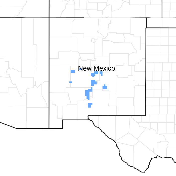
Figure 1. Mapped extent
Areas shown in blue indicate the maximum mapped extent of this ecological site. Other ecological sites likely occur within the highlighted areas. It is also possible for this ecological site to occur outside of highlighted areas if detailed soil survey has not been completed or recently updated.
MLRA notes
Major Land Resource Area (MLRA): 042C–Central New Mexico Highlands
Major Land Resource Area (MLRA) 70C - will become 42C - is a high elevation portion of central New Mexico that is the convergence of four major physiographic provinces: Basin and Range, Southern Rocky Mountains, Great Plains, and Colorado Plateau. As such, it contains parts or characteristics of each, though tectonically, as a region, it is the easternmost extent of the Basin and Range Province and, more specifically, a structural expression of the Rio Grande Rift. It consists mostly of rangeland with some forested areas associated with numerous disconnected mountain ranges such as the Guadalupe, Sacramento, and Manzano Mountains. Other major physiographic features include the Galisteo Basin or the enclosed Estancia Basin, the structural Chupadera and Glorieta Mesas, and the piedmonts of the Buchanan and Guadalupe Mesas.
LRU notes
This site does not yet have an LRU designation.
Ecological site concept
Site occurs on steep mountain slopes ranging in elevation from 4300 to 8000 feet. Soils are loamy-skeletal ranging from shallow to deep. Plant communities are often dominated by forest cover ranging from pinyon-juniper to Douglas-fir. Soil materials are generally forming from basic parent rocks, such as limestone, which lead to accumulations of secondary carbonates in the soils and thus a more alkaline pH. Surface textures range from loams to clay loams, with subsurface textures generally more as clay loams.
Table 1. Dominant plant species
| Tree |
(1) Juniperus monosperma |
|---|---|
| Shrub |
(1) Chrysothamnus nauseosus |
| Herbaceous |
(1) Bouteloua gracilis |
Click on box and path labels to scroll to the respective text.