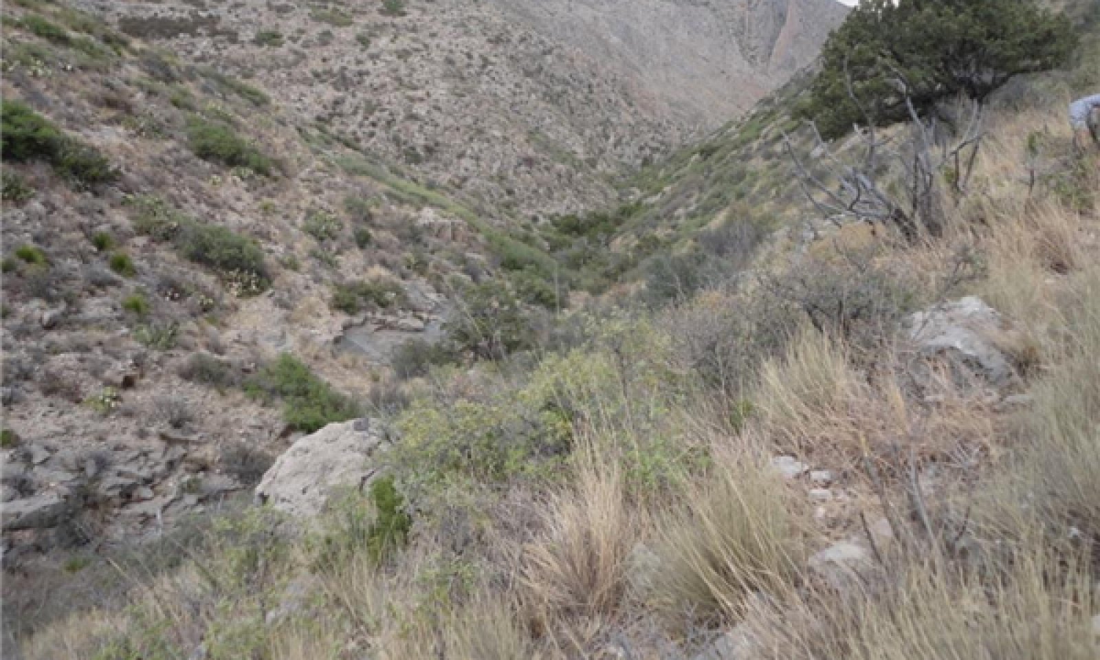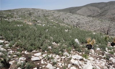
Limestone Mountains
Scenario model
Current ecosystem state
Select a state
Management practices/drivers
Select a transition or restoration pathway
- Transition T1A More details
- Restoration pathway R1A More details
-
No transition or restoration pathway between the selected states has been described
Target ecosystem state
Select a state
State 1
Reference State


Description
1.1 Warm season grasses/shrubs/succulents (diagnostic plant community)
A mix of grasses, shrubs and succulents are present. Total foliar cover is > 70%, depending on the amount of rock outcrop.
1.1A Community Pathway: This pathway represents intervals between fires, during which natural processes increase shrub and succulent vigor and decrease the vigor of grasses.
1.1B Community Pathway: This pathway represents fire. Fire suppresses succulents and many shrubs, giving grasses a competitive advantage.
1.2 Shrubs/warm season grasses/succulents: Over time, foliar cover of shrubs and succulents increases and that of warm season grasses decreases.
1.2A Community Pathway: This pathway represents an interval between fires, which is longer than the historic range of variability. Fire suppression, whether through loss of fuel load due to herbivory or from fighting natural wildfires, has increased shrub and succulent vigor and decreased grass production and percent composition.
1.2B Community Pathway: This pathway represents fire. Fire suppresses succulents and many shrubs, giving grasses a competitive advantage.
1.3 Warm season grasses/scattered shrubs: This plant phase exists after fire. Grasses, respond well to fire, while many shrubs and succulents decrease.
1.3A Community Pathway: This pathway represents intervals between fires during which natural processes increase shrub and succulent vigor and decrease grass production and composition. Over time, the plant community shifts from 1.3 to 1.1.
1.4 At risk: shrubs/succulents/warm season grasses: Due to gradual changes in hydrologic function and soil chemistry, shrubs and succulents increase over time. This community is no longer within the historic range of variability due to fire suppression.
1.4B Community Pathway: This pathway represents a decrease in shrubs and an increase in grasses, through either anthropogenic or natural processes.
T1A Transition one: Slow variables: Continued increase of shrubs due to fire suppression, coupled with the decrease in soil organic matter due to a reduction in fine-root turnover, leading to a decrease in plant available water. Trigger events: A severe hot wildfire causing a loss of organic carbon. Threshold: A hydrologic function threshold is crossed.
2.0 Shrub State
2.1 Shrubs: Very few grasses exist as the bulk of the foliar cover is made of shrubs.
R1A Restoration Process: An increase in the competitive advantage of grass species through physical, chemical, and biological management practices.
Submodel
Mechanism
Slow variables: Continued increase of shrubs due to fire suppression, coupled with the loss of grasses due to a decrease in soil organic matter, leading to diminished plant available water. Trigger events: A severe “hot” wildfire causing a loss of grasses and organic carbon. . Fire usually stimulates sprouting of oak after top-kill, increasing density of previously open stands, and merging scattered stands into continuous thickets. Oak regeneration after fire is usually vigorous causing sprouts to be observed within 10 days (Simonin, 2000). Threshold: A hydrologic function threshold is crossed.
Mechanism
An increase in the competitive advantage of grass species through physical, chemical, and biological management practices.
Various facilitating and management practices can be used to restore this ecological site back to reference. Chemical, mechanical, and biological practices can all be used to reduce shrubs. Also, range seeding, winter feeding, and high intensity-short duration livestock grazing can help bring grass and organic matter back into the system while restoring soil carbon and microbial levels. Once fuel levels are adequate, and species diversity has improved, prescribed burning will help reduce shrub competition and improve grass vigor.
Monitoring foliar cover by species will help inform the land manager if plant composition is responding to management.
Model keys
Briefcase
Add ecological sites and Major Land Resource Areas to your briefcase by clicking on the briefcase (![]() ) icon wherever it occurs. Drag and drop items to reorder. Cookies are used to store briefcase items between browsing sessions. Because of this, the number of items that can be added to your briefcase is limited, and briefcase items added on one device and browser cannot be accessed from another device or browser. Users who do not wish to place cookies on their devices should not use the briefcase tool. Briefcase cookies serve no other purpose than described here and are deleted whenever browsing history is cleared.
) icon wherever it occurs. Drag and drop items to reorder. Cookies are used to store briefcase items between browsing sessions. Because of this, the number of items that can be added to your briefcase is limited, and briefcase items added on one device and browser cannot be accessed from another device or browser. Users who do not wish to place cookies on their devices should not use the briefcase tool. Briefcase cookies serve no other purpose than described here and are deleted whenever browsing history is cleared.
Ecological sites
Major Land Resource Areas
The Ecosystem Dynamics Interpretive Tool is an information system framework developed by the USDA-ARS Jornada Experimental Range, USDA Natural Resources Conservation Service, and New Mexico State University.


