Draw
Scenario model
Current ecosystem state
Select a state
Management practices/drivers
Select a transition or restoration pathway
- Transition TIA More details
- Transition T2B More details
- Transition T2A More details
- Transition T3B More details
-
No transition or restoration pathway between the selected states has been described
Target ecosystem state
Select a state
State 1
Channel


Description
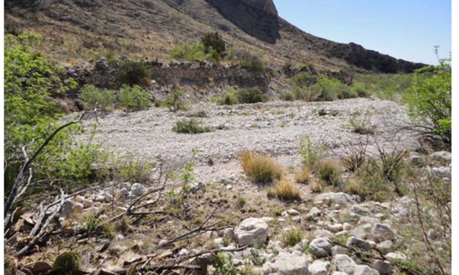
1.1 Sideoats Grama/Apache Plume/Little Walnut: This site is located within/adjacent to the channel (or wash). Total foliar cover is around 35%.
1.1A Community Pathway: This pathway represents intervals between fires and major floods where natural processes increase shrub and succulent vigor.
1.1B Community Pathway: This pathway represents fire. Fire suppresses succulents and many shrubs, giving grasses a competitive advantage.
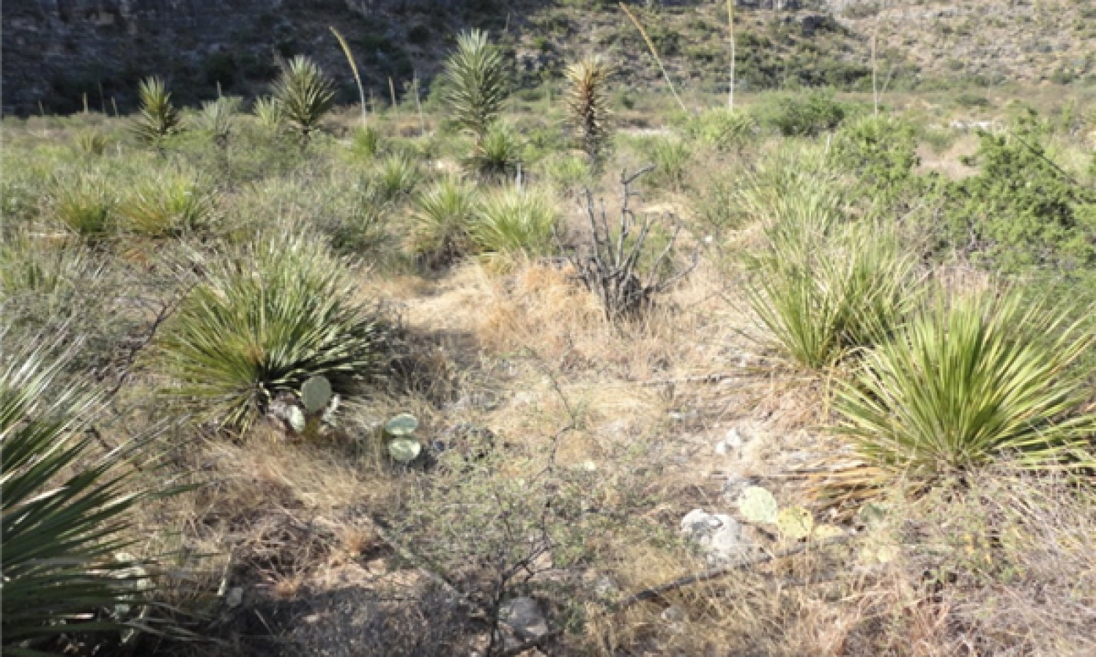
1.2 Little Walnut/Apache Plume/Sotol: Over time, foliar cover of shrubs and succulents increase and warm season grasses decrease.
1.2B Community Pathway: This pathway represents fire. Fire sets back succulents and many shrubs, giving grasses a competitive advantage.
1.3 Sideoats Grama/Little Bluestem/Forbs: This site exists after fire. Grasses, respond well to fire, while many shrubs and succulents are suppressed.
1.3A Community Pathway: This pathway represents intervals between fires and major floods where natural processes increase shrub and succulent vigor.
1.4 River Wash: This is the segment of the channel that has no plants.
1.4A Community Pathway: This pathway represents natural processes where soil begins to develop and plants begin to grow.
T1A Transition: This transition is the slow process of soil development and landform development. Eventually what is currently the channel becomes the floodplain. The flood plain accumulates organic matter and fine textured particles within interstitial matrix of the soil. The flood plain supports a greater diversity of plants.
2.0 Floodplain
2.1 Sideoats Grama/Sotol/Apache Plume: This plant community exists on the major active floodplain of the Draw. It is considered the “Diagnostic” plant community of this ecological site.
2.1A Community Pathway: This pathway represents time between fires and major floods, during which natural processes increase shrub and succulent vigor.
2.1B Community Pathway: This pathway represents fire. Fire sets back succulents, shrubs, and trees, giving a competitive advantage to grasses.
2.2 Sotol/Apache Plume/Mescal Bean: Over time foliar cover of shrubs and succulents increase, while grass vigor is suppressed.
2.2B Community Pathway: This pathway represents fire. Fire suppresses succulents, shrubs, and trees, giving a competitive advantage to grasses.
2.3 Sideoats Grama/Slim Tridens/Sotol/Apache Plume: This site exists after fire. Grasses, respond well to fire, while many shrubs and succulents are suppressed.
2.3A Community Pathway: This pathway represents intervals between fires and major floods during which natural processes increase shrub and succulent vigor.
T2A Transition: This transition is the slow process of landform elevation and soil development. What, is at one time, the floodplain gradually becomes the first terrace. The soil shows increasingly dark colors and supports more of a grassland community.
T2B Transition: A large scale flooding event that cuts a channel through the floodplain. Sinuosity decreases, water flow speeds up, and massive amounts of rock and gravel are moved down stream.
3.0 First Terrace
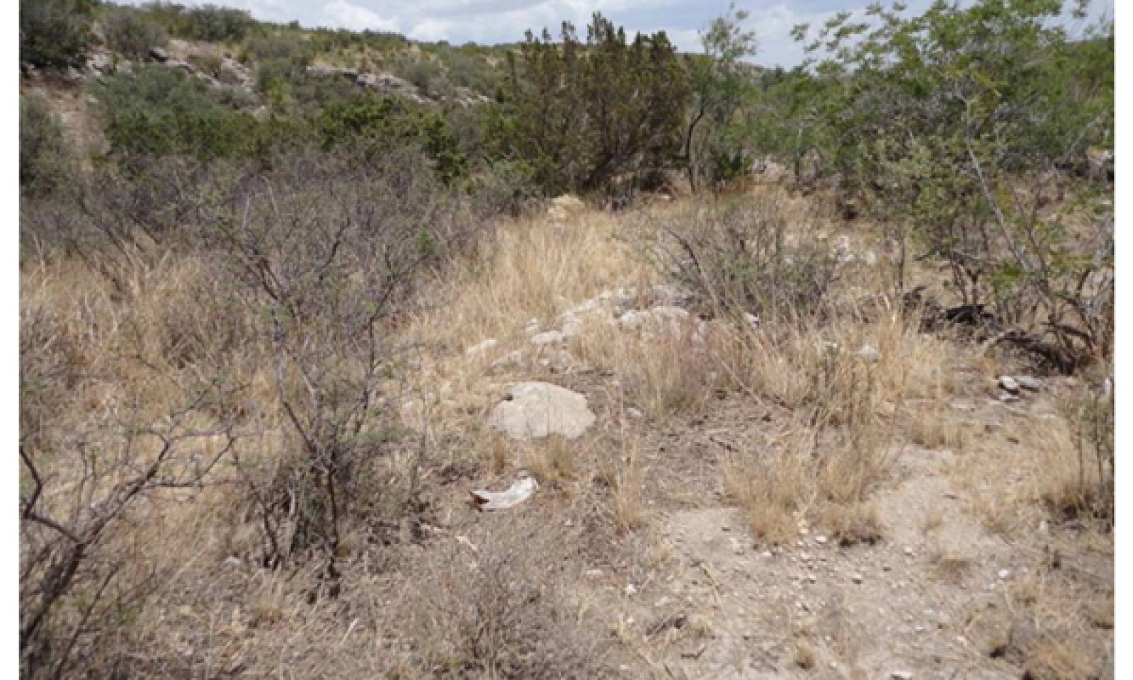
3.1 Switchgrass/Sideoats Grama/Apache Plume: This plant community exists on the first small terrace of the draw. It is slightly above the floodplain, but has not developed enough to be considered the Gravelly Ecological Site.
3.1A Community Pathway: This pathway represents time between fire and major floods, during which natural processes increase shrub and succulent vigor.
3.1B Community Pathway: This pathway represents fire. Fire sets back succulents, shrubs, and trees, giving a competitive advantage to grasses.
3.2 Apache Plume/Willow Baccharis: Over time the foliar cover of shrubs increases and grasses decrease.
3.2B Community Pathway: This pathway represents fire. Fire sets back succulents, shrubs, and trees, giving a competitive advantage to grasses.
3.2C Community Pathway: This pathway represents a growing competitive advantage from nitrogen fixing shrubs due to slow changes in soil chemistry and hydrology.
3.3 Sideoats Grama/Blue Grama/Black Grama: This site exists after fire. Grasses, respond well to fire, while many shrubs and succulents decrease.
3.3A Community Pathway: This pathway represents time between fire and major floods, during which natural processes increase shrub and succulent vigor.
Submodel
State 2
Floodplain


Description
This state exists on the major active floodplain of the Draw. Plant community 2.1 is considered the “Diagnostic” plant community of this ecological site.
Submodel
State 3
First Terrace


Description
This state exists on the first small terrace of the draw. It is slightly above the floodplain, but has not developed enough to be considered the Gravelly Ecological Site.
Submodel
Mechanism
This transition is the slow process of soil development and landform development. A point in space which was at one time located in the channel is gradually elevated in relation to the incising channel, until it eventually lies on a floodplain. The soil becomes increasingly less coarse and surface cobble and gravel decrease. Concurrently, plant diversity increases as the landform is elevated.
Mechanism
large scale flooding event that cuts a channel through the floodplain. Sinuosity decreases, water flow speeds up, and massive amounts of rock and gravel are moved down stream.
Mechanism
This transition is the slow process of landform elevation and concurrent soil development. What is at one time the floodplain gradually becomes the first terrace. The soil exhibits increasingly dark colors and supports more of a grassland community.
Model keys
Briefcase
Add ecological sites and Major Land Resource Areas to your briefcase by clicking on the briefcase (![]() ) icon wherever it occurs. Drag and drop items to reorder. Cookies are used to store briefcase items between browsing sessions. Because of this, the number of items that can be added to your briefcase is limited, and briefcase items added on one device and browser cannot be accessed from another device or browser. Users who do not wish to place cookies on their devices should not use the briefcase tool. Briefcase cookies serve no other purpose than described here and are deleted whenever browsing history is cleared.
) icon wherever it occurs. Drag and drop items to reorder. Cookies are used to store briefcase items between browsing sessions. Because of this, the number of items that can be added to your briefcase is limited, and briefcase items added on one device and browser cannot be accessed from another device or browser. Users who do not wish to place cookies on their devices should not use the briefcase tool. Briefcase cookies serve no other purpose than described here and are deleted whenever browsing history is cleared.
Ecological sites
Major Land Resource Areas
The Ecosystem Dynamics Interpretive Tool is an information system framework developed by the USDA-ARS Jornada Experimental Range, USDA Natural Resources Conservation Service, and New Mexico State University.


