Gravelly
Scenario model
Current ecosystem state
Select a state
Management practices/drivers
Select a transition or restoration pathway
- Transition T1A More details
- Restoration pathway R2A More details
-
No transition or restoration pathway between the selected states has been described
Target ecosystem state
Select a state
State 1
Grassland/Shrubland State


Description
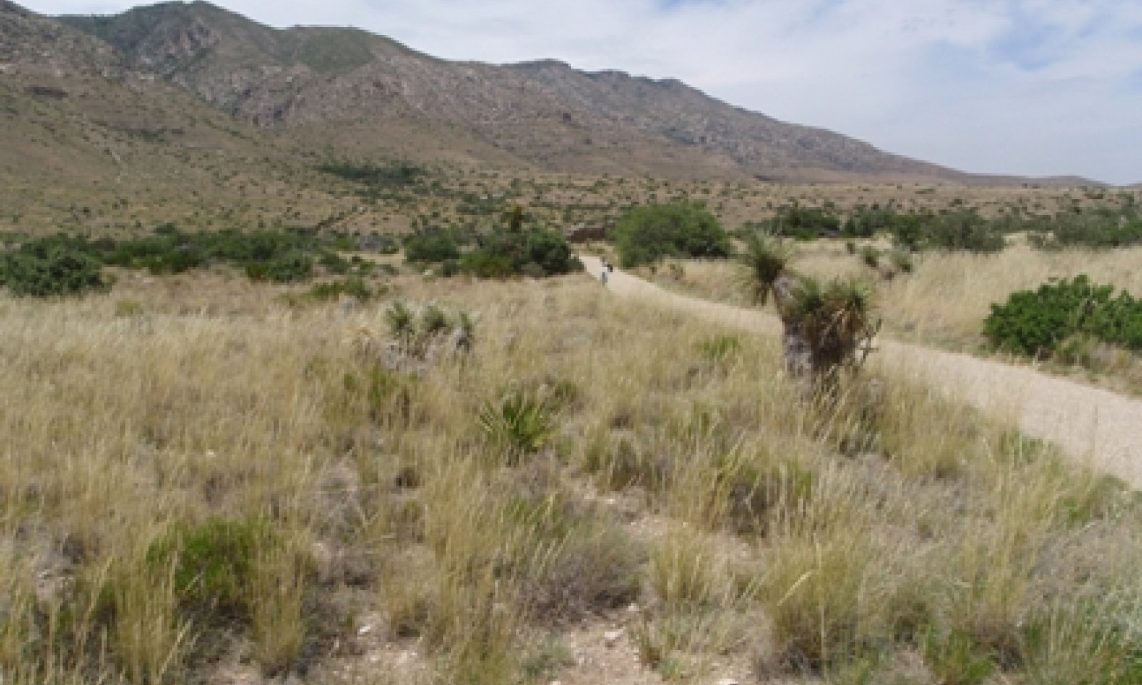
Midgrass/Shrubs/Trees Community (1.1) is the reference plant community. Blue grama and sideoats grama, and black grama are common grasses. Common shrubs include redberry juniper, skunkbush sumac, wavyleaf oak, and sacahuista. Within this phase, cover of shrubs is approximately 25 percent or lower. Traces of trees such as pinyon pine, gray oak, and alligator juniper occur is some areas, but are not characteristic throughout the entire range of the site.
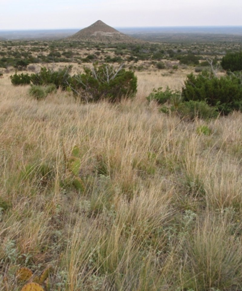
Cool-season Grasses/Shrubs/Trees Community (1.2) is composed of New Mexico feathergrass, a cool-season grass dominates the grass layer. Other cool-season grasses such as southwestern needlegrass may also increase. Warm-season grasses such as sideoats grama, black grama, and blue grama occur as subdominants.
Threeawn/Shrubs/Trees Community (1.3) is dominated by less palatable grasses such as perennial threeawns and hairy grama. Cover of black and blue grama is very low (<5%). With the reduction of grasses this site is very susceptible to shrub encroachment.
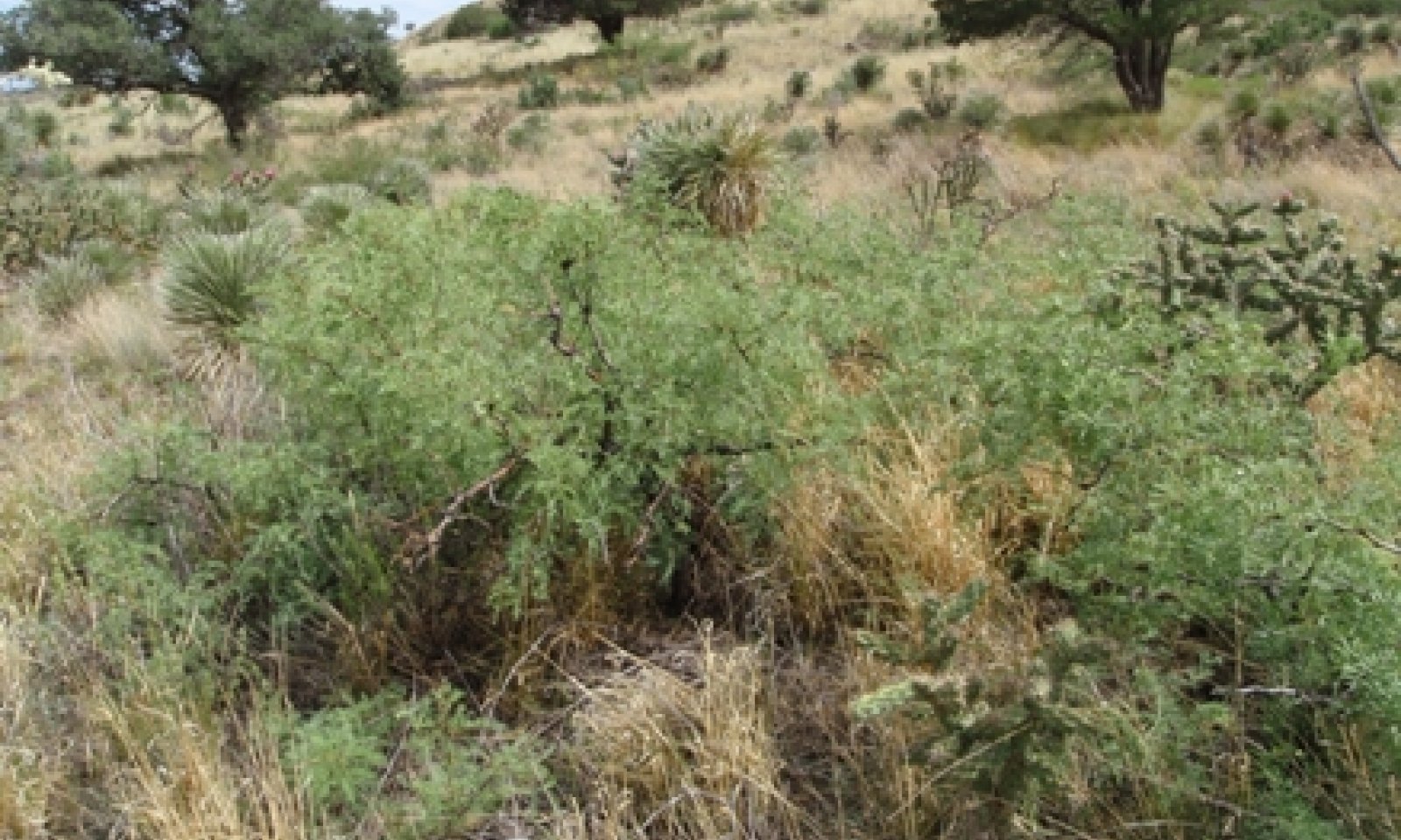
Juniper/Mixed-grass Community (1.4) occurs due to suppression of fire from natural succession which will allow shrubs (specifically redberry juniper) to increase. Overgrazing can cause this transition as well since it can reduce the fine fuels needed to carry a fire. Depending on grazing pressure this community can either be dominated my increaser or decreaser grasses. There has been no evidence of an alternate stable state with very high canopy cover of juniper (>75 percent) and grasses are completely lost. Catclaw mimosa can increase dramatically in very localized patches often in water receiving areas.
Submodel
State 2
Introduced State


Description
This state is characterized by the introduction of nonnative species such as horehound (Marrubium vulgare). This plant was historically introduced as a plant for gardens and can be found in disturbed areas, pastures, and lawns. At Guadalupe Mountains National Park it does not dominate probably due to competition by natives. It is found in areas where livestock were historically concentrated such as old stock pens. Also growing where livestock were concentrated is western honey mesquite, a native shrub or small tree that is found in nearby associated ecological sites. It probably was not part of the historic reference community. Seeds were most likely introduced from other sites by livestock. Mesquite does provide plenty of value to wildlife. It will likely not spread without livestock grazing.
Horehound reproduces by seed and fire can kill adult plants (Weiss et al 2000). However, seeds of horehound will readily germinate after fire. Other control options include the use of chemicals or manual control.
Submodel
Mechanism
The transition from the Grassland/Shrubland State to the Introduced State occurs due to shrubs and weeds invasion and encroachment, heavy continuous grazing, no fires, and no brush management.
Mechanism
The Introduced State can be restored to the Grassland/Shrubland State through the implementation of various conservation practices including Prescribed or No grazing, Prescribed Burning, and Brush Management.
Relevant conservation practices
| Practice | External resources |
|---|---|
|
Brush Management |
|
|
Prescribed Burning |
|
|
Prescribed Grazing |
Model keys
Briefcase
Add ecological sites and Major Land Resource Areas to your briefcase by clicking on the briefcase (![]() ) icon wherever it occurs. Drag and drop items to reorder. Cookies are used to store briefcase items between browsing sessions. Because of this, the number of items that can be added to your briefcase is limited, and briefcase items added on one device and browser cannot be accessed from another device or browser. Users who do not wish to place cookies on their devices should not use the briefcase tool. Briefcase cookies serve no other purpose than described here and are deleted whenever browsing history is cleared.
) icon wherever it occurs. Drag and drop items to reorder. Cookies are used to store briefcase items between browsing sessions. Because of this, the number of items that can be added to your briefcase is limited, and briefcase items added on one device and browser cannot be accessed from another device or browser. Users who do not wish to place cookies on their devices should not use the briefcase tool. Briefcase cookies serve no other purpose than described here and are deleted whenever browsing history is cleared.
Ecological sites
Major Land Resource Areas
The Ecosystem Dynamics Interpretive Tool is an information system framework developed by the USDA-ARS Jornada Experimental Range, USDA Natural Resources Conservation Service, and New Mexico State University.

