Limestone Canyon Bottomland
Circle-spoke model
Scenario model
Current ecosystem state
Select a state
Management practices/drivers
Select a transition or restoration pathway
-
No transition or restoration pathway between the selected states has been described
Target ecosystem state
Select a state
State 1
Woodland State


Description
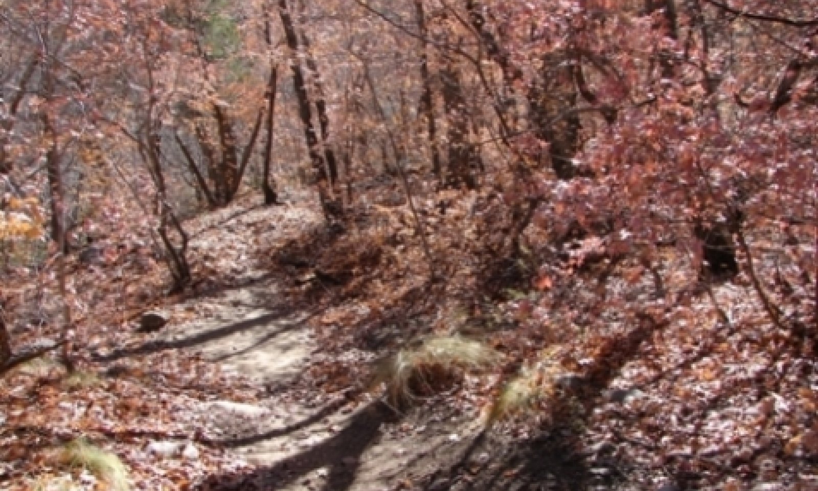
The Trees-Shrubs/Tallgrass Community is characterized by several plant community potentials resulting from different plant environments. Narrow canyon bottoms will have limited daily sunlight and will typically have a high canopy cover percentages of trees such as bigtooth maple, chinkapin oak, alligator juniper, and ponderosa pine. Shade tolerant grasses will coexist. As the bottomland widens, tree canopy cover decreases and shade intolerant grasses increase. Scouring flash floods and small wildfires will maintain a discontinuous mosaic of plant communities. Annual production ranges from 2450 to 5250 pounds per acre.
The Trees-Shrubs/Mid-Shortgrass Community is characterized by a herbaceous component that consists mostly of unpalatable mid and shortgrasses such as hairy grama and perennial threeawns. Tallgrasses such as yellow indiangrass, big bluestem, and littlebluestem will be subdominants. In some areas, shrubs such as sotol and catclaw mimosa will increase.
Submodel
Model keys
Briefcase
Add ecological sites and Major Land Resource Areas to your briefcase by clicking on the briefcase (![]() ) icon wherever it occurs. Drag and drop items to reorder. Cookies are used to store briefcase items between browsing sessions. Because of this, the number of items that can be added to your briefcase is limited, and briefcase items added on one device and browser cannot be accessed from another device or browser. Users who do not wish to place cookies on their devices should not use the briefcase tool. Briefcase cookies serve no other purpose than described here and are deleted whenever browsing history is cleared.
) icon wherever it occurs. Drag and drop items to reorder. Cookies are used to store briefcase items between browsing sessions. Because of this, the number of items that can be added to your briefcase is limited, and briefcase items added on one device and browser cannot be accessed from another device or browser. Users who do not wish to place cookies on their devices should not use the briefcase tool. Briefcase cookies serve no other purpose than described here and are deleted whenever browsing history is cleared.
Ecological sites
Major Land Resource Areas
The Ecosystem Dynamics Interpretive Tool is an information system framework developed by the USDA-ARS Jornada Experimental Range, USDA Natural Resources Conservation Service, and New Mexico State University.
