Sandstone Hill
Scenario model
Current ecosystem state
Select a state
Management practices/drivers
Select a transition or restoration pathway
- Transition T1A More details
- Restoration pathway R2A More details
-
No transition or restoration pathway between the selected states has been described
Target ecosystem state
Select a state
Description
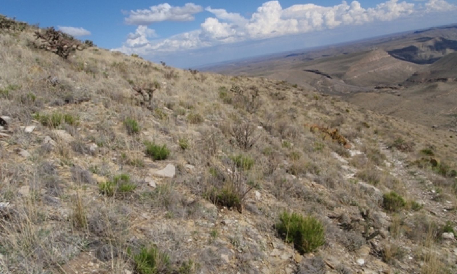
The Grama/Shrubs plant community phase is the reference or current potential vegetative community. Characteristic grasses include sideoats grama, black grama, blue grama, Warnock’s grama, curlyleaf muhly, and New Mexico feathergrass. Shifts in above average winter or summer precipitation can shift dominance from either black grama or sideoats to cool-season grasses. It is unknown if the higher shrub cover in some locations is attributed to past management or it is part of the natural variability of the site. Shrub canopy cover over 25 percent will categorize the site in the Shrubland State. Annual production ranges from 600 to 1400 pounds per acre.
The Threeawns/Shrubs Community is a response to heavy continuous grazing. Drought will only exacerbate the situation. Perennial grass cover is lower and dominated by mainly perennial threeawns, hairy grama, and slim tridens. Both annual and perennial forbs will also increase in relative composition. Palatable grasses such as black grama and blue grama have decreased in cover. Shrubs may begin to encroach in certain areas.
Submodel
Description
The Shrubs/Grama Community is noted for lower perennial grass cover and is dominated by sideoats grama, slim tridens and threeawns. Both annual and perennial forbs will also increase in relative composition. Palatable grasses such as black grama and blue grama have decreased in cover. Shrub canopy cover is greater than 25 percent.
The Shrubs/Threeawn Community has unknown past reference concerning whether if this community is attributed to past disturbances such as heavy continuous grazing or if these areas are within the inherent variability of the site. Nonetheless, shrubs can comprise greater than 25 percent cover in areas. Common shrubs include sotol, lechuguilla, sacahuista, and creosotebush. This community can provide habitat for some wildlife that the grassland community is not able to provide.
Submodel
Description
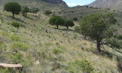
The Muhlys-Gramas/Oak-Juniper plant community is an inclusion that occurs in a cooler and wetter soil temperature regime. Soils still remain shallow to mostly sandstone with some areas derived from limestone. The reference plant community is a gray oak – alligator juniper savanna with abundant warm- and cool-season perennial bunchgrasses such as pine muhly, bull muhly, sideoats grama, and New Mexico feathergrass. Scattered shrubs include skunkbush sumac, cholla, and wavyleaf oak. Annual production ranges from 1350 to 2600 pounds per acre.
The Threeawns/Oak-Juniper plant community phase results from overgrazing. A shift from decreaser grasses (palatable) to increaser (unpalatable) dominance has occurred. The community is more susceptible to woody plant encroachment due the overall decline of herbaceous plants and the fuel to carry fire. Threeawns and hairy grama are common increaser grasses. Decreaser grasses include blue grama and the various muhlenbergia species.
The Woodland/Mixed-grass plant community results from fire suppression and/or livestock overgrazing. A shift from decreaser grasses (palatable) to increaser (unpalatable) dominance has occurred. Further woody plant encroachment occurs due to the overall decline of herbaceous plants and the lack of fuel to carry fire. Threeawns and hairy grama are common increaser grasses. Decreaser grasses include blue grama and the various muhlenbergia species.
Submodel
Mechanism
The grassland state transitions to the shrubland state when shrub cover is higher than 25 percent. It is unknown if the transition is attributed to past disturbances such as heavy continuous grazing or if these areas are within the inherent variability of the site. Nonetheless, shrubs can comprise greater than 25 percent cover in areas. Common increaser shrubs include sotol, broomweed, sacahuista, and mariola.
Mechanism
Rangeland conservation practices such as brush management and possibly prescribed burning (where amount of fine fuel is adequate) can restore the Shrubland State into the Grassland State.
Relevant conservation practices
| Practice | External resources |
|---|---|
|
Brush Management |
|
|
Prescribed Burning |
|
|
Prescribed Grazing |
Model keys
Briefcase
Add ecological sites and Major Land Resource Areas to your briefcase by clicking on the briefcase (![]() ) icon wherever it occurs. Drag and drop items to reorder. Cookies are used to store briefcase items between browsing sessions. Because of this, the number of items that can be added to your briefcase is limited, and briefcase items added on one device and browser cannot be accessed from another device or browser. Users who do not wish to place cookies on their devices should not use the briefcase tool. Briefcase cookies serve no other purpose than described here and are deleted whenever browsing history is cleared.
) icon wherever it occurs. Drag and drop items to reorder. Cookies are used to store briefcase items between browsing sessions. Because of this, the number of items that can be added to your briefcase is limited, and briefcase items added on one device and browser cannot be accessed from another device or browser. Users who do not wish to place cookies on their devices should not use the briefcase tool. Briefcase cookies serve no other purpose than described here and are deleted whenever browsing history is cleared.
Ecological sites
Major Land Resource Areas
The Ecosystem Dynamics Interpretive Tool is an information system framework developed by the USDA-ARS Jornada Experimental Range, USDA Natural Resources Conservation Service, and New Mexico State University.


