Porous Clay
Scenario model
Current ecosystem state
Select a state
Management practices/drivers
Select a transition or restoration pathway
- Transition T1A More details
- Restoration pathway R2A More details
-
No transition or restoration pathway between the selected states has been described
Target ecosystem state
Select a state
Description
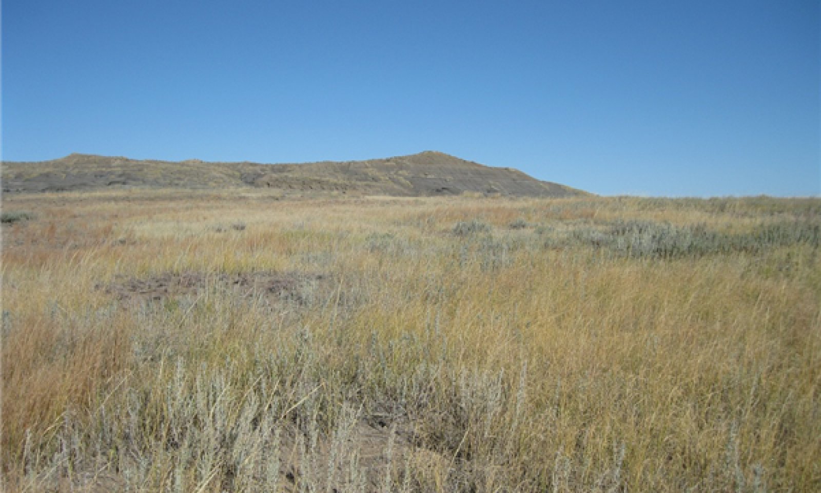
This state represents what is believed to show the natural range of variability that dominated the dynamics in this ecological site prior to European settlement. This site, in reference, is dominated by a mix of warm-season mid- and tall-grasses, and rhizomatous wheatgrasses. Heavy grazing or heavy disturbance, will cause the plant community to transition to a community dominated by the upland sedges and bare ground. Severe erosion is a potential outcome with heavy grazing. In pre-European times the primary disturbances included grazing by large ungulates and small mammals, and drought. Favorable growing conditions occurred during the spring, and warm months of June through August. Today a similar state can be found in areas where proper livestock use has occurred.
Submodel
Description
Typically this plant community is the result of frequent and severe grazing, or heavy disturbance, and erosion. This plant community is also found in areas that exhibit increased bare ground due to natural geologic erosion. These areas often occur adjacent to shale outcrops, or in association with the Shallow Porous Clay ecological site. Short grass and grass-like plants such as sun sedge, prairie Junegrass, Dudley’s rush, and bluegrass dominate this plant community. Annual grasses such as cheatgrass and annual forbs such as mustards may be common. Fragile cactus and plains pricklypear may also occur. The plant community is about 75 to 85 percent grass and grass-likes, 10 to 15 percent forbs, and 1 to 5 percent shrubs.
When compared to the Reference Plant Community (1.1) the perennial tall- and mid-grasses have greatly decreased. Short grasses and sedges dominate the plant community. The dominant forbs are cudweed sagewort, mustards, yarrow, pussytoes, cactus, and golden pea. Bare ground has greatly increased, and large areas of no vegetation may be present.
Submodel
Mechanism
Frequent and severe grazing, or heavy disturbance, and soil surface erosion will convert this plant community to the Sedge/Bare Ground Plant Community (2.1).
Mechanism
Removal of management-induced disturbances, in combination with long-term prescribed grazing, which may include extended periods of non-use, may convert this PCP to the Rhizomatous Wheatgrass-Blue Grama Plant Community (1.2). This transition may not be fast and/or feasible.
Model keys
Briefcase
Add ecological sites and Major Land Resource Areas to your briefcase by clicking on the briefcase (![]() ) icon wherever it occurs. Drag and drop items to reorder. Cookies are used to store briefcase items between browsing sessions. Because of this, the number of items that can be added to your briefcase is limited, and briefcase items added on one device and browser cannot be accessed from another device or browser. Users who do not wish to place cookies on their devices should not use the briefcase tool. Briefcase cookies serve no other purpose than described here and are deleted whenever browsing history is cleared.
) icon wherever it occurs. Drag and drop items to reorder. Cookies are used to store briefcase items between browsing sessions. Because of this, the number of items that can be added to your briefcase is limited, and briefcase items added on one device and browser cannot be accessed from another device or browser. Users who do not wish to place cookies on their devices should not use the briefcase tool. Briefcase cookies serve no other purpose than described here and are deleted whenever browsing history is cleared.
Ecological sites
Major Land Resource Areas
The Ecosystem Dynamics Interpretive Tool is an information system framework developed by the USDA-ARS Jornada Experimental Range, USDA Natural Resources Conservation Service, and New Mexico State University.
