Shallow Porous Clay
Scenario model
Current ecosystem state
Select a state
Management practices/drivers
Select a transition or restoration pathway
- Transition T1A More details
- Transition T4A More details
- Transition T4A More details
- Restoration pathway R2A More details
- Transition T4A More details
- Transition T4A More details
-
No transition or restoration pathway between the selected states has been described
Target ecosystem state
Select a state
Description
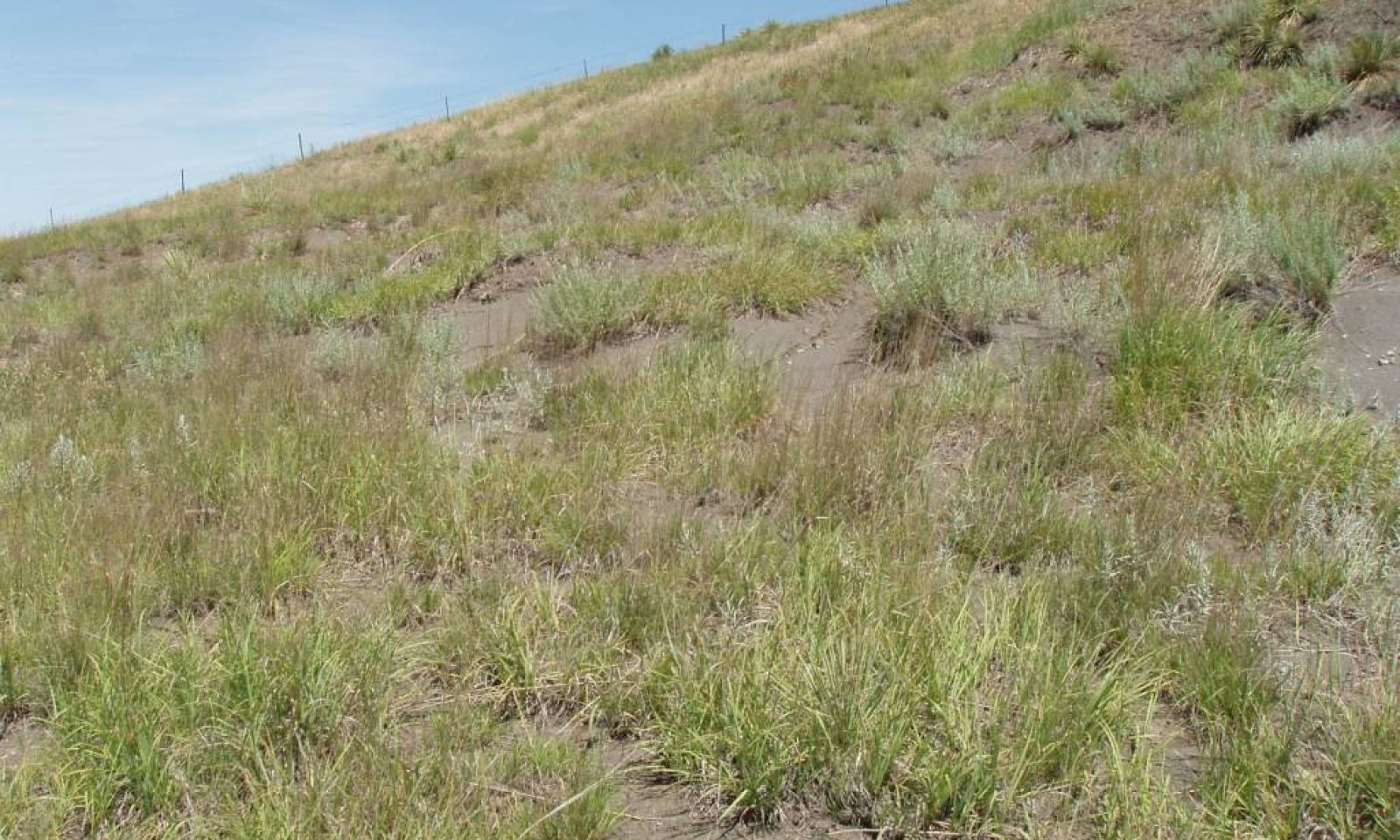
This State represents what is believed to show the natural range of variability that dominated the dynamics of the ecological site prior to European settlement. This site in the Reference State, is dominated by warm-season grasses and sub-dominant cool-season grass. Shrubs are almost always present. Grazing, fire or lack of fire, erosion, and drought are the major drivers between plant communities.
Submodel
Description
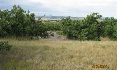
This State is the result of encroachment and/or the expansion of trees on this site. The most common trees are bur oak, ponderosa pine, and Rocky Mountain juniper. Bur oak is common in the northern portion of the MLRA, but uncommon or non-existent in the southern portion.
Ponderosa pine can be found on this site throughout the MLRA. Rocky Mountain juniper is most commonly found in the southern portion of the MLRA, but can occur in the northern portion as well.
The dynamics of this State are largely due to encroachment and/or expansion of trees, fire, and soil erosion. It is not fully understood whether erosion is the result of tree encroachment or vice versa. Livestock will congregate under the tree canopy during extreme weather (hot or cold) and will obviously have a detrimental impact on soil site stability. This Wooded State provides excellent habit for wildlife and is a good grazing resource; however, it is at-risk to severe erosion with improper management.
Submodel
Description
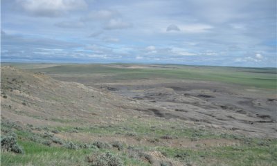
This State is the result of severe erosion. The site is very unstable and recovery to a vegetated state is highly unlikely within any predictable timeline. Runoff and sedimentation from this site can and will cause significant impacts to adjacent sites and infrastructure such as roads and culverts.
Submodel
Mechanism
Encroachment and/or expansion of bur oak, ponderosa pine, juniper, no fire, and erosion will shift this plant community to the Wooded State (2.0). Once this plant community is established, erosion is likely to increase and expand.
Mechanism
Heavy, continuous season-long grazing, fire, and erosion will shift any of the plant communities to the Shale Outcrop State (4.0).
Mechanism
Heavy, continuous season-long grazing, fire, and erosion will shift any of the plant communities to the Shale Outcrop State (4.0).
Mechanism
Fire or prescribed burning to remove woody vegetation followed by long-term prescribed grazing that includes proper stocking, change in season of use, and adequate time for recover will transition the Woody State (2.0) back to the Reference State (1.0). Extended periods of non-use may help this transition.
Mechanism
Heavy, continuous season-long grazing, fire, and erosion will shift any of the plant communities to the Shale Outcrop State (4.0).
Model keys
Briefcase
Add ecological sites and Major Land Resource Areas to your briefcase by clicking on the briefcase (![]() ) icon wherever it occurs. Drag and drop items to reorder. Cookies are used to store briefcase items between browsing sessions. Because of this, the number of items that can be added to your briefcase is limited, and briefcase items added on one device and browser cannot be accessed from another device or browser. Users who do not wish to place cookies on their devices should not use the briefcase tool. Briefcase cookies serve no other purpose than described here and are deleted whenever browsing history is cleared.
) icon wherever it occurs. Drag and drop items to reorder. Cookies are used to store briefcase items between browsing sessions. Because of this, the number of items that can be added to your briefcase is limited, and briefcase items added on one device and browser cannot be accessed from another device or browser. Users who do not wish to place cookies on their devices should not use the briefcase tool. Briefcase cookies serve no other purpose than described here and are deleted whenever browsing history is cleared.
Ecological sites
Major Land Resource Areas
The Ecosystem Dynamics Interpretive Tool is an information system framework developed by the USDA-ARS Jornada Experimental Range, USDA Natural Resources Conservation Service, and New Mexico State University.


