Lithic Sandstone
Scenario model
Current ecosystem state
Select a state
Management practices/drivers
Select a transition or restoration pathway
- Transition T1A More details
- Restoration pathway R1A More details
-
No transition or restoration pathway between the selected states has been described
Target ecosystem state
Select a state
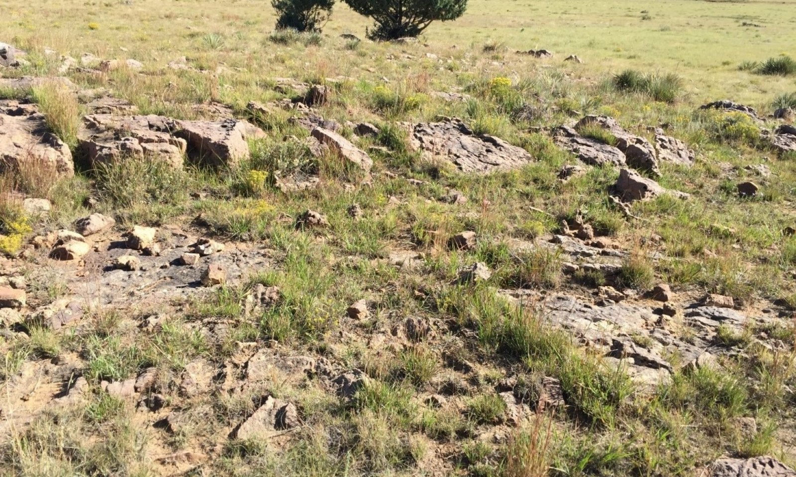
State 1
Reference State


Description
This state represents the most ecologically stable conditions in terms of resistance to erosion. Moreover, this state has the highest potential for productivity and plant diversity.
Submodel
State 2
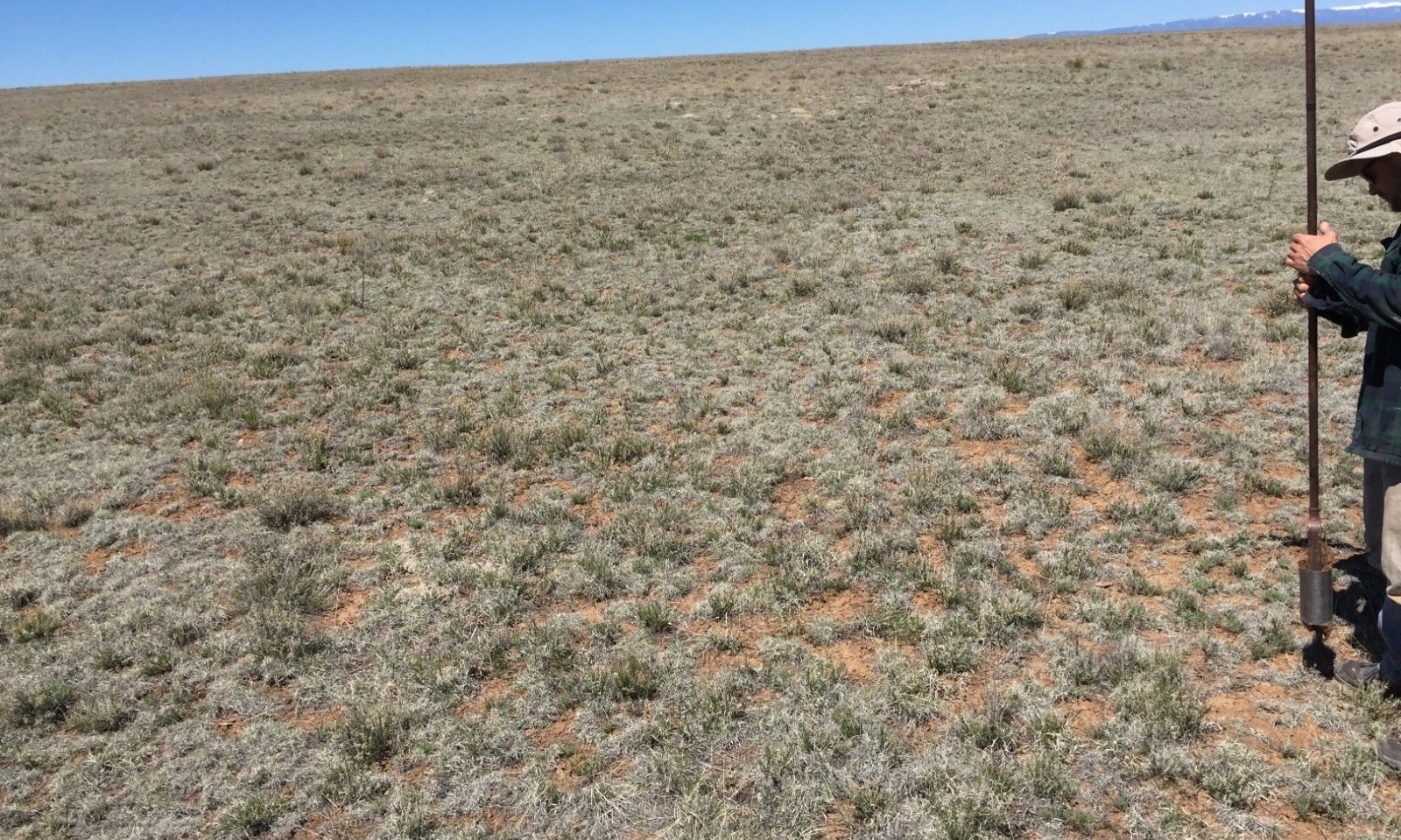
Eroded State


Description
The central feature of this state is that topsoil has been mostly or entirely eroded. While State 1 does not always contain a mollic epipedon, State 2 necessarily lacks one.
Submodel
Mechanism
Slow variables: Continued encroachment by shrubs, coupled with the loss of herbaceous plant production, leads to decreases in total canopy cover and soil organic matter. The result is an increase in the rate of wind and water erosion—leading to the loss of topsoil with its high organic matter content, and an associated decrease in available water and nutrients. Trigger event: A severe drought kills already-weakened perennial grasses, resulting in a major loss in canopy cover. This, in turn, accelerates erosion. Threshold: The vigor and cover of perennial grasses is reduced to a point at which some perennial grasses die, soil surfaces become more susceptible to wind and water erosion, and rates of evaporation increase.
Mechanism
An increase in the competitive advantage of various perennial grass species through physical, chemical, and biological management practices. This restoration pathway will likely require long-term, multifaceted approaches and high-energy inputs. In order to return to State 1, erosion will have to be reversed, grazing will have to be tightly-controlled, and the re-introduction of extirpated plant species may be required. Favorable weather patterns, or some method of temporary irrigation, may also be necessary to ensure successful seeding.
Model keys
Briefcase
Add ecological sites and Major Land Resource Areas to your briefcase by clicking on the briefcase (![]() ) icon wherever it occurs. Drag and drop items to reorder. Cookies are used to store briefcase items between browsing sessions. Because of this, the number of items that can be added to your briefcase is limited, and briefcase items added on one device and browser cannot be accessed from another device or browser. Users who do not wish to place cookies on their devices should not use the briefcase tool. Briefcase cookies serve no other purpose than described here and are deleted whenever browsing history is cleared.
) icon wherever it occurs. Drag and drop items to reorder. Cookies are used to store briefcase items between browsing sessions. Because of this, the number of items that can be added to your briefcase is limited, and briefcase items added on one device and browser cannot be accessed from another device or browser. Users who do not wish to place cookies on their devices should not use the briefcase tool. Briefcase cookies serve no other purpose than described here and are deleted whenever browsing history is cleared.
Ecological sites
Major Land Resource Areas
The Ecosystem Dynamics Interpretive Tool is an information system framework developed by the USDA-ARS Jornada Experimental Range, USDA Natural Resources Conservation Service, and New Mexico State University.

