Gravelly Terraces
Scenario model
Current ecosystem state
Select a state
Management practices/drivers
Select a transition or restoration pathway
- Transition T1A More details
- Restoration pathway R2A More details
-
No transition or restoration pathway between the selected states has been described
Target ecosystem state
Select a state
State 1
Reference State


Description
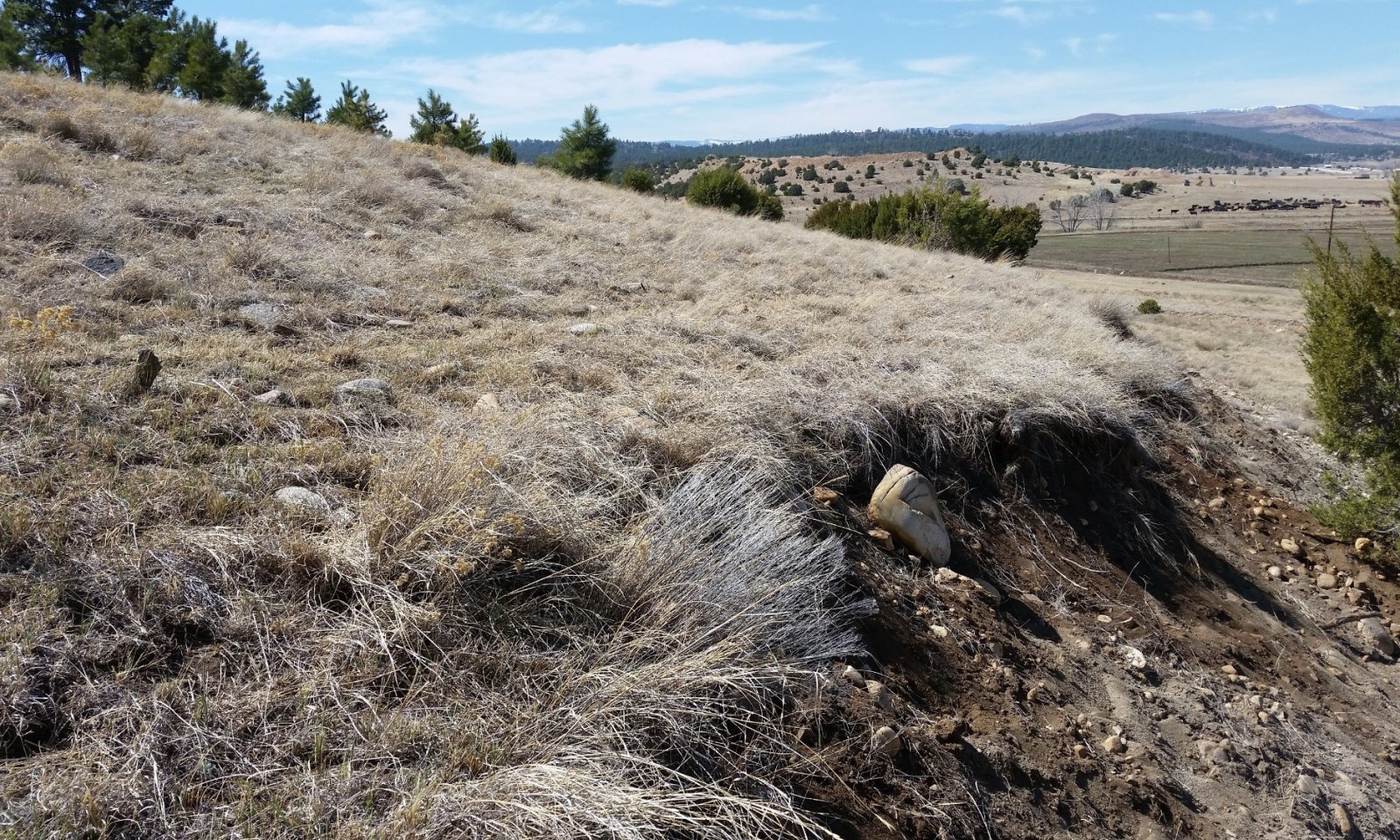
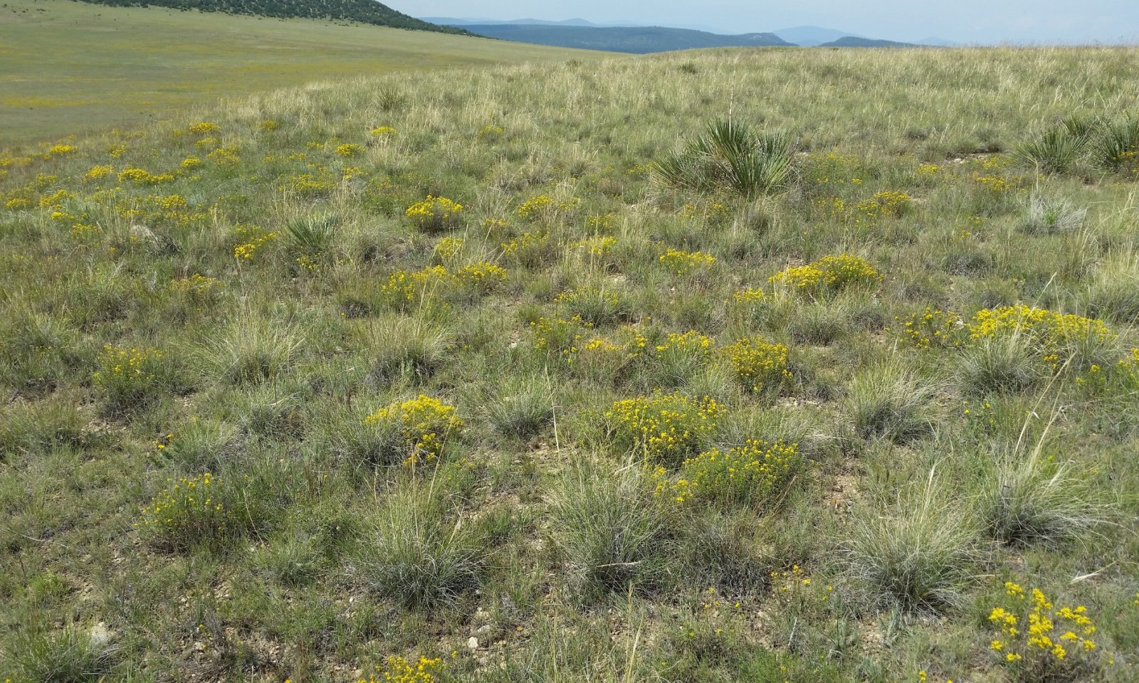
This state occurs where topsoil has remained relatively stable for a very long period. These stable soils exhibit thick dark surface horizons (meeting mollic criteria) that lack free carbonates (no reaction to HCl). Conversely, State 2 is characterized by a truncated soil with free carbonates at the surface (frothy reaction to HCl). Where the Gravelly Terraces ecological site occurs on the shoulders of actively eroding escarpments, there is generally a strip of highly eroded Tinaja soil somewhere on the escarpment. In this scenario, it is not uncommon for States 1 and 2 to occur on the same slope—with State 2 subtending State 1.
The presence of intact topsoil is ecologically important here for several reasons. First, it is usually lower in clay and higher in organic matter than the subsoil. This translates to higher potential plant available water in the rooting zone of many plants—particularly of herbaceous species. Second, the argillic (higher clay) horizon below the topsoil serves as a temporary aquitard which perches water in the topsoil during/after precipitation events. Third, the original topsoil has been leached of carbonates—giving it a relatively neutral pH. This, coupled with higher organic matter translates to higher availability of many essential plant nutrients. Lastly, this topsoil serves as a seedbank.
Submodel
State 2
Eroded State


Description
This state occurs where topsoil has been removed—generally by water erosion. Here, a subsoil that is higher in clay and lower in organic matter now resides at or near the soil surface. This translates to reduced infiltration rates and to lower potential plant available water than in State 1. In most cases, the subsoil contains significant amounts of free carbonates—both as masses in the soil matrix and coatings on rock fragments. When exposed at the soil surface, this calcareous material selects for certain plant species that are generally absent in State 1. Most notably, New Mexico feathergrass is quite prominent in two of the three phases of State 2.
Submodel
Mechanism
Significant water erosion removes much of the original topsoil, exposing subsurface horizons that contain free carbonates. Mechanisms for this event are varied. Active erosion of shale-derived soils on escarpment positions can lead to head-cutting into the Gravelly Terraces site. Excessive grazing on the Gravelly Terraces can also lead to erosion here. It is also possible that a high intensity fire could create a hydrophobic soil surface, which would promote runoff and attendant erosion.
Mechanism
This pathway represents the genesis of a layer of thick, organic-rich topsoil. Theoretically, this pathway would proceed most rapidly from Community Phase 2.1—where relatively high herbaceous production would favor the accumulation of soil organic matter. Barring expensive and high-energy inputs such as trucking-in topsoil, this restoration pathway will be quite slow. It would involve the accumulation of large amounts of soil organic matter, the leaching and neutralization of carbonates from the upper soil, and the illuviation of significant amounts of clay from the upper soil. These pedogenic processes cannot be expected to produce State 1 conditions on the scale of a human lifespan.
Model keys
Briefcase
Add ecological sites and Major Land Resource Areas to your briefcase by clicking on the briefcase (![]() ) icon wherever it occurs. Drag and drop items to reorder. Cookies are used to store briefcase items between browsing sessions. Because of this, the number of items that can be added to your briefcase is limited, and briefcase items added on one device and browser cannot be accessed from another device or browser. Users who do not wish to place cookies on their devices should not use the briefcase tool. Briefcase cookies serve no other purpose than described here and are deleted whenever browsing history is cleared.
) icon wherever it occurs. Drag and drop items to reorder. Cookies are used to store briefcase items between browsing sessions. Because of this, the number of items that can be added to your briefcase is limited, and briefcase items added on one device and browser cannot be accessed from another device or browser. Users who do not wish to place cookies on their devices should not use the briefcase tool. Briefcase cookies serve no other purpose than described here and are deleted whenever browsing history is cleared.
Ecological sites
Major Land Resource Areas
The Ecosystem Dynamics Interpretive Tool is an information system framework developed by the USDA-ARS Jornada Experimental Range, USDA Natural Resources Conservation Service, and New Mexico State University.

