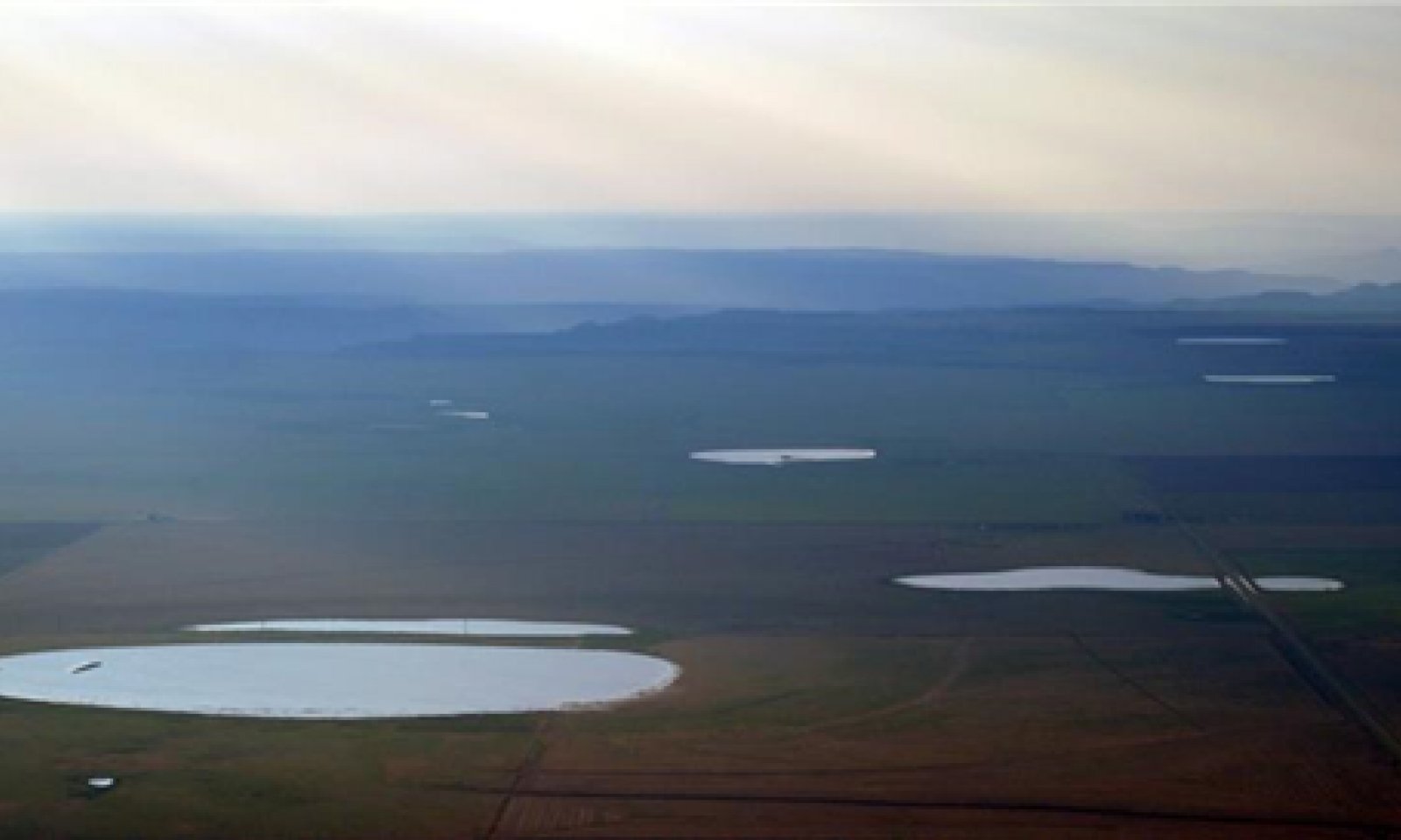
Closed Upland Depression
Scenario model
Current ecosystem state
Select a state
Management practices/drivers
Select a transition or restoration pathway
- Transition 1 to 2 More details
-
No transition or restoration pathway between the selected states has been described
Target ecosystem state
Select a state
Description
The Grassland State is supported by empirical data, historical data, local expertise, and photographs. This state is defined by three plant communities that are the results of periodic fire, drought, and grazing. These events are part of the natural disturbance regime and climatic process. The Reference Plant Community consists of cool-season sod-forming grasses, warm-season sod and bunchgrasses, and forbs. Plant community 1.2 Inundation/Saturation consists primarily of spikerush and western wheatgrass, with ragweed, smartweed, arrowhead, panicums, or water. Community 1.3 is made up of bare ground and/or annuals. Water has evaporated and/or percolated through the soil profile and early successional plants are establishing.
Submodel
Description
The Tillage State consists of abandoned cropland that has been naturally revegetated (go-back), planted/seeded to grassland or annual crops. Many reseeded plant communities were planted with a local seeding mix under the Conservation Reserve Program (CRP), or were planted to a monoculture of sideoats grama. Go-back communities are difficult to define due to the variability of plant communities that exist. Many of these communities are represented by the genus Aristida (three-awns).
This is an alternative state because the ecological functions (i.e. dynamic soil properties) and plant communities are not fully restored to that of the Reference State. Tillage can destroy soil aggregation. Soil aggregates are an example of dynamic soil property change. Aggregate stability is critical for infiltration, root growth, and resistance to water and wind erosion (Brady and Weil, 2008).
Submodel
Model keys
Briefcase
Add ecological sites and Major Land Resource Areas to your briefcase by clicking on the briefcase (![]() ) icon wherever it occurs. Drag and drop items to reorder. Cookies are used to store briefcase items between browsing sessions. Because of this, the number of items that can be added to your briefcase is limited, and briefcase items added on one device and browser cannot be accessed from another device or browser. Users who do not wish to place cookies on their devices should not use the briefcase tool. Briefcase cookies serve no other purpose than described here and are deleted whenever browsing history is cleared.
) icon wherever it occurs. Drag and drop items to reorder. Cookies are used to store briefcase items between browsing sessions. Because of this, the number of items that can be added to your briefcase is limited, and briefcase items added on one device and browser cannot be accessed from another device or browser. Users who do not wish to place cookies on their devices should not use the briefcase tool. Briefcase cookies serve no other purpose than described here and are deleted whenever browsing history is cleared.
Ecological sites
Major Land Resource Areas
The Ecosystem Dynamics Interpretive Tool is an information system framework developed by the USDA-ARS Jornada Experimental Range, USDA Natural Resources Conservation Service, and New Mexico State University.


