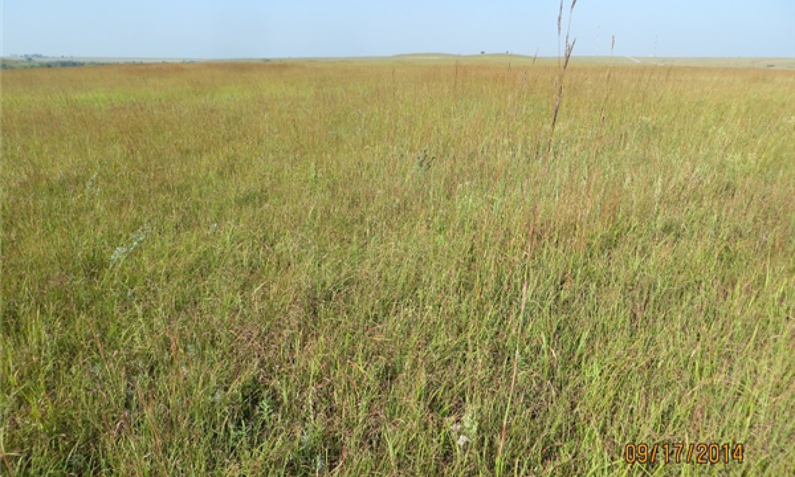
Gravelly Flint Hills
Circle-spoke model
Scenario model
Current ecosystem state
Select a state
Management practices/drivers
Select a transition or restoration pathway
-
No transition or restoration pathway between the selected states has been described
Target ecosystem state
Select a state
State 1
Grassland State


Description
The Grassland State defines the ecological potential and natural range of variability resulting from the natural disturbance regime of the Gravelly Flint Hills ecological site. This state is supported by empirical data, historical data, local expertise, and photographs. It is defined by a suite of native plant communities that are a result of periodic fire, drought, and grazing by bison. These events are part of the natural disturbance regime and climatic process. The soil dynamic properties that can influence community phase and state changes are organic matter content, biological activity, aggregate stability, infiltration, soil fertility, and soil reaction. Other grazing and feeding animals such as elk, pronghorns, deer, rabbits, insects, and numerous burrowing rodents had secondary influences on plant community development. Today, cattle are the primary grazers on this ecological site. Within the grassland state, the woody vegetation will generally be less than 15 percent canopy cover per acre. If introduced, invasive or noxious plants are present, they should not exceed 15 percent of the total pounds of vegetation produced per acre in order to avoid crossing a threshold.
The Grassland State has three community phases that interact with the environment to produce a warm-season tallgrass dominant plant community. The soil dynamic properties that can influence community phase and state changes are organic matter content, biological activity, aggregate stability, infiltration, soil fertility, and soil reaction. Bison were the primary historic animal community with influence on the development of this state. Other grazing and feeding animals such as elk, pronghorns, deer, rabbits, and insects had secondary influences on plant community development. Today, cattle are the primary grazers on this ecological site. Within the grassland state, the woody vegetation will generally be less than 5 percent canopy cover per acre. If introduced, invasive or noxious plants are present, they should not exceed 15 percent of the total pounds of vegetation produced per acre in order to avoid crossing a threshold. More field investigations are needed in order to determine if there is an introduced, invasive, or noxious state within this site.
Plant communities within this state function similarly in their capacity to limit soil loss, cycle water, and produce vegetative biomass. The plant community phases can vary through changes in grazing management or fluctuating climatic conditions. The variables that control the resilience of this grassland state are long-term grazing management and frequency of fire.
Characteristics and indicators
Tallgrasses and Midgrasses are dominant in the Grassland State.
Resilience management
Management strategies that will sustain this state include monitoring key forage species and providing a forage and animal balance.
Submodel
Model keys
Briefcase
Add ecological sites and Major Land Resource Areas to your briefcase by clicking on the briefcase (![]() ) icon wherever it occurs. Drag and drop items to reorder. Cookies are used to store briefcase items between browsing sessions. Because of this, the number of items that can be added to your briefcase is limited, and briefcase items added on one device and browser cannot be accessed from another device or browser. Users who do not wish to place cookies on their devices should not use the briefcase tool. Briefcase cookies serve no other purpose than described here and are deleted whenever browsing history is cleared.
) icon wherever it occurs. Drag and drop items to reorder. Cookies are used to store briefcase items between browsing sessions. Because of this, the number of items that can be added to your briefcase is limited, and briefcase items added on one device and browser cannot be accessed from another device or browser. Users who do not wish to place cookies on their devices should not use the briefcase tool. Briefcase cookies serve no other purpose than described here and are deleted whenever browsing history is cleared.
Ecological sites
Major Land Resource Areas
The Ecosystem Dynamics Interpretive Tool is an information system framework developed by the USDA-ARS Jornada Experimental Range, USDA Natural Resources Conservation Service, and New Mexico State University.
