
Natural Resources
Conservation Service
Ecological site R077AY015KS
Loamy Upland 16-22" PZ
Last updated: 9/11/2023
Accessed: 02/09/2026
General information
Provisional. A provisional ecological site description has undergone quality control and quality assurance review. It contains a working state and transition model and enough information to identify the ecological site.

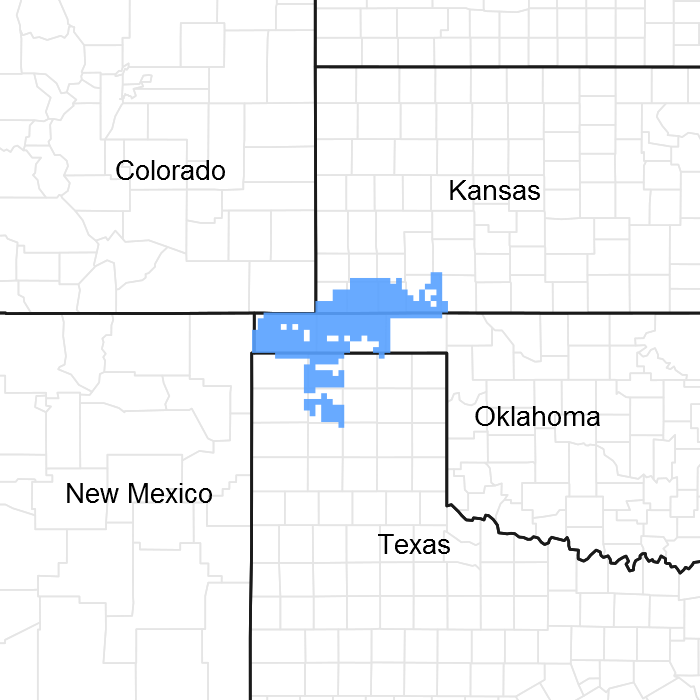
Figure 1. Mapped extent
Areas shown in blue indicate the maximum mapped extent of this ecological site. Other ecological sites likely occur within the highlighted areas. It is also possible for this ecological site to occur outside of highlighted areas if detailed soil survey has not been completed or recently updated.
MLRA notes
Major Land Resource Area (MLRA): 077A–Southern High Plains, Northern Part
MLRA 77A is characterized by nearly level plains with playa depressions and sloping
breaks along rivers and creeks. Soils are generally deep, fine-textured, and occur in a
mesic soil temperature regime.
Classification relationships
This ecological site is correlated to soil components at the Major Land Resource Area (MLRA) level which is further described in USDA Ag Handbook 296.
Ecological site concept
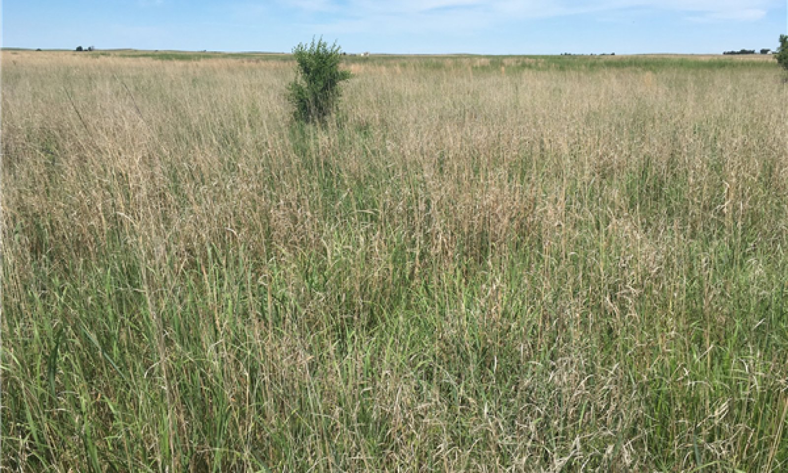
These sites occur on soils with loam or silt loam surfaces and fine-silty or fine-loamy subsoils on uplands. Reference vegetation consists of native mid- and tallgrass species with forbs and very few woody species. This plant community evolved under periodic fire, grazing, and drought. Abusive grazing may lead to a decline in the more palatable tallgrasses and exclusion of fire can allow woody species to increase on the site.
Associated sites
| R077AY001TX |
Deep Hardland 16-22" PZ Nearly level to gently sloping fine-textured soils on adjacent positions that formed in calcareous loess. Dominated by short and mid-grass species with few woody species. |
|---|---|
| R077AY004OK |
Parna Dune 16-22" PZ Gently to moderately sloping silty and loamy soils formed in calcareous parna on higher adjacent dune positions. Dominated by mid- and shortgrass species with very few woody species. |
| R077AY005TX |
Playa 16-22" PZ Nearly level clayey soils with high shrink-swell potential on lower closed depression playa positions that intermittently pond water. Vegetation is variable and includes hydrophytes. |
| R077AY002TX |
Draw 16-22" PZ Gently sloping loamy soils on lower positions that receive water run-on from adjacent sites. Due to increased water availability this site has higher production potential with tall and mid grasses. |
Similar sites
| R077EY056OK |
Loamy Upland A similar site in MLRA 77E with soils formed from recent alluvium in a slightly warmer thermic soil temperature regime. |
|---|---|
| R077AY012TX |
Sandy Loam 16-22" PZ Nearly level to gently sloping soils with sandy loam or fine sandy loam surfaces and fine-loamy argillic horizons formed on low dunes and sand sheets on adjacent positions. Midgrass and shortgrass dominant with few woody shrubs. |
Table 1. Dominant plant species
| Tree |
Not specified |
|---|---|
| Shrub |
Not specified |
| Herbaceous |
(1) Panicum virgatum |
Click on box and path labels to scroll to the respective text.
Ecosystem states
| T1A | - | Extensive soil disturbance followed by seeding |
|---|---|---|
| T2A | - | Prolonged extensive soil disturbance and loss of site stability |
