Sandy Bottomland 12-17" PZ
Scenario model
Current ecosystem state
Select a state
Management practices/drivers
Select a transition or restoration pathway
-
Transition T1A
Absence of disturbance and natural regeneration over time, may be coupled with excessive grazing pressure
More details -
Restoration pathway R2A
Adequate rest from defoliation and removal of woody canopy, followed by reintroduction of historic disturbance regimes
More details -
Transition T2A
Absence of disturbance and natural regeneration over time, may be coupled with excessive grazing pressure
More details -
Restoration pathway R3A
Adequate rest from defoliation and removal of woody canopy
More details -
No transition or restoration pathway between the selected states has been described
Target ecosystem state
Select a state
Description
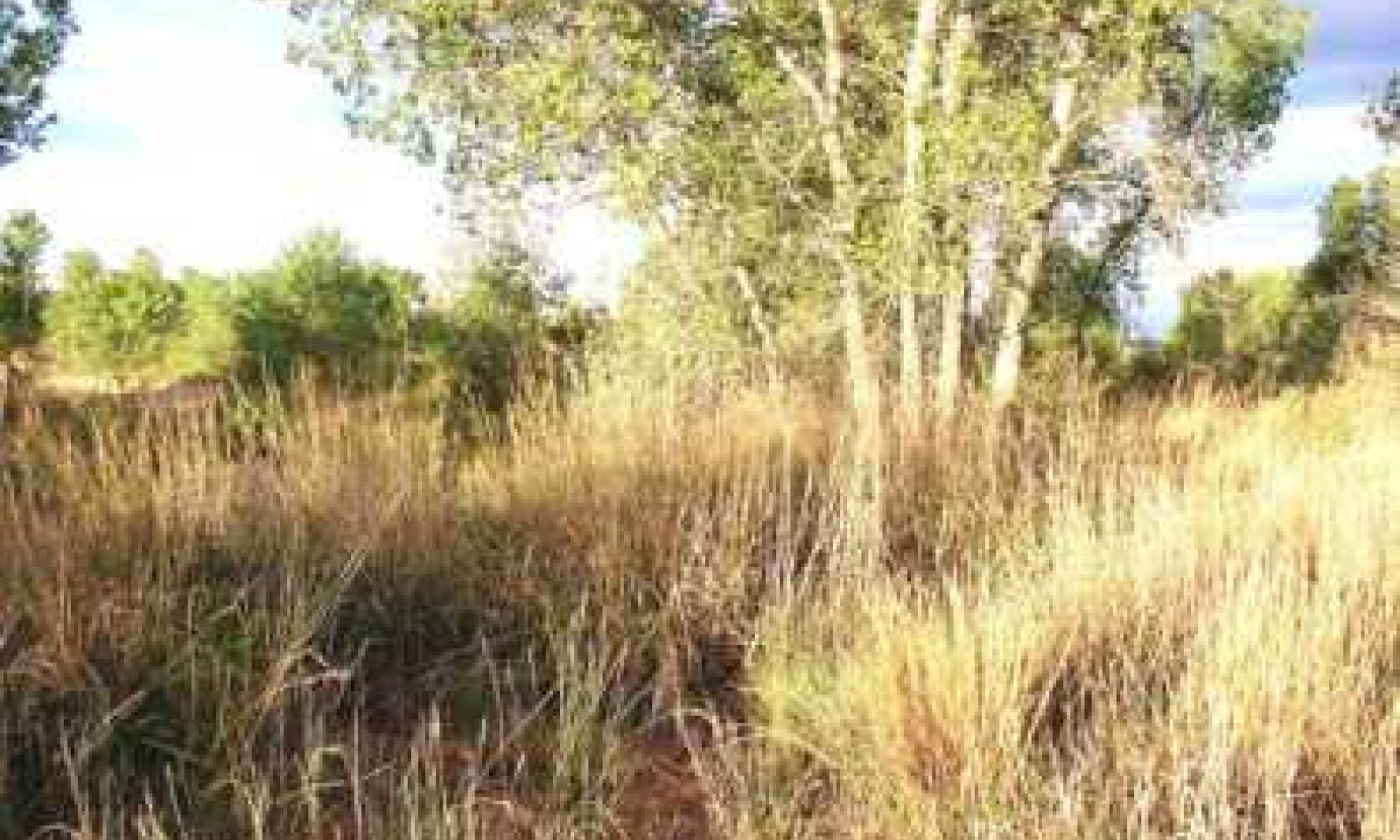
Tallgrass Dominant Community with secondary midgrasses, diverse perennial forbs, scattered tree cover and motts or groves of trees. Tallgrasses include sand bluestem, little bluestem, switchgrass and Indiangrass form a moderate cover on this site. Several midgrasses such as sand dropseed, sand paspalum, and sand lovegrass were also present. On areas containing small dunes, giant sandreed may be found. In some cases, common reedgrass may occur in small aggregations. Common shrubs are skunkbush sumac and sand plum. Cottonwood and willows occasionally occur where the water table is high. Indigobush amorpha and sand sagebrush may also be present in lesser amounts. Forbs such as Illinois bundleflower, catclaw sensitivebriar, gaura, primrose species, western ragweed and various annual forbs make up about 10% of the vegetative component on a dry matter basis. Minimal bare soil. Moderate to high productivity.
Submodel
Description
If excessive grazing continues for long periods of time, ecologic retrogression occurs. As retrogression proceeds, this site will move towards the Midgrass/Annual Forbs/Shrub Community (2.1). The tallgrasses will be much reduced and less palatable midgrasses will increase. Undesirable shrubs such as saltcedar and willow baccharis as well as annual forbs and low quality grasses will increase on the site. Production of vegetation has shifted from mostly herbaceous to more woody, although herbaceous vegetative biomass is still the largest amount. The plant community will be less diverse than the reference plant community. There will be an increase in the percent bare ground scattered throughout the site.
Submodel
Description
If heavy continuous grazing continues, along with periodic droughts, retrogression will move towards a Shrub/Annuals Community (3.1). The result will often be an invasion of numerous shrubs and weedy annual species. Saltcedar may dominate the site with willow baccharis and occasionally sand sagebrush increasing on the site. The percent bare ground may continue to increase to (>40 percent). This phase of retrogression has low production potential and diversity is limited. Poor hydrological conditions prevail.
Submodel
Mechanism
With heavy continuous grazing pressure, no fire, and brush invasion, the Tallgrass Grassland State has transition to the Midgrass Grassland State.
Mechanism
With the application of various conservation practices such as Prescribed Grazing, Brush Management, Pest Management, and Prescribed Burning, the Midgrass Grassland State can be restored to the Tallgrass Grassland State.
Relevant conservation practices
| Practice | External resources |
|---|---|
|
Brush Management |
|
|
Prescribed Burning |
|
|
Prescribed Grazing |
|
|
Integrated Pest Management (IPM) |
Mechanism
With heavy continuous grazing, no fire, and brush invasion, the Midgrass Grassland State continues to degrade and leads to the Shrubland State.
Mechanism
Restoration of the Shrub/Annuals Community (3.1) to the Midgrass Grassland State requires extensive brush and pest management, range planting, and prescribed grazing. Care must be taken using herbicides due to possible damage to valuable trees. Prescribed fire can be used, but usually in this phase of retrogression there is not enough fine fuel to carry an effective fire.
Relevant conservation practices
| Practice | External resources |
|---|---|
|
Brush Management |
|
|
Prescribed Grazing |
|
|
Range Planting |
|
|
Integrated Pest Management (IPM) |
Model keys
Briefcase
Add ecological sites and Major Land Resource Areas to your briefcase by clicking on the briefcase (![]() ) icon wherever it occurs. Drag and drop items to reorder. Cookies are used to store briefcase items between browsing sessions. Because of this, the number of items that can be added to your briefcase is limited, and briefcase items added on one device and browser cannot be accessed from another device or browser. Users who do not wish to place cookies on their devices should not use the briefcase tool. Briefcase cookies serve no other purpose than described here and are deleted whenever browsing history is cleared.
) icon wherever it occurs. Drag and drop items to reorder. Cookies are used to store briefcase items between browsing sessions. Because of this, the number of items that can be added to your briefcase is limited, and briefcase items added on one device and browser cannot be accessed from another device or browser. Users who do not wish to place cookies on their devices should not use the briefcase tool. Briefcase cookies serve no other purpose than described here and are deleted whenever browsing history is cleared.
Ecological sites
Major Land Resource Areas
The Ecosystem Dynamics Interpretive Tool is an information system framework developed by the USDA-ARS Jornada Experimental Range, USDA Natural Resources Conservation Service, and New Mexico State University.


