High Lime 12-17" PZ
Scenario model
Current ecosystem state
Select a state
Management practices/drivers
Select a transition or restoration pathway
-
Transition T1A
Absence of disturbance and natural regeneration over time, coupled with excessive grazing pressure and prolonged drought conditions
More details -
Restoration pathway R2A
Adequate rest from defoliation and removal of woody canopy, followed by rangeland seeding
More details -
No transition or restoration pathway between the selected states has been described
Target ecosystem state
Select a state
State 1
Grassland State


Description
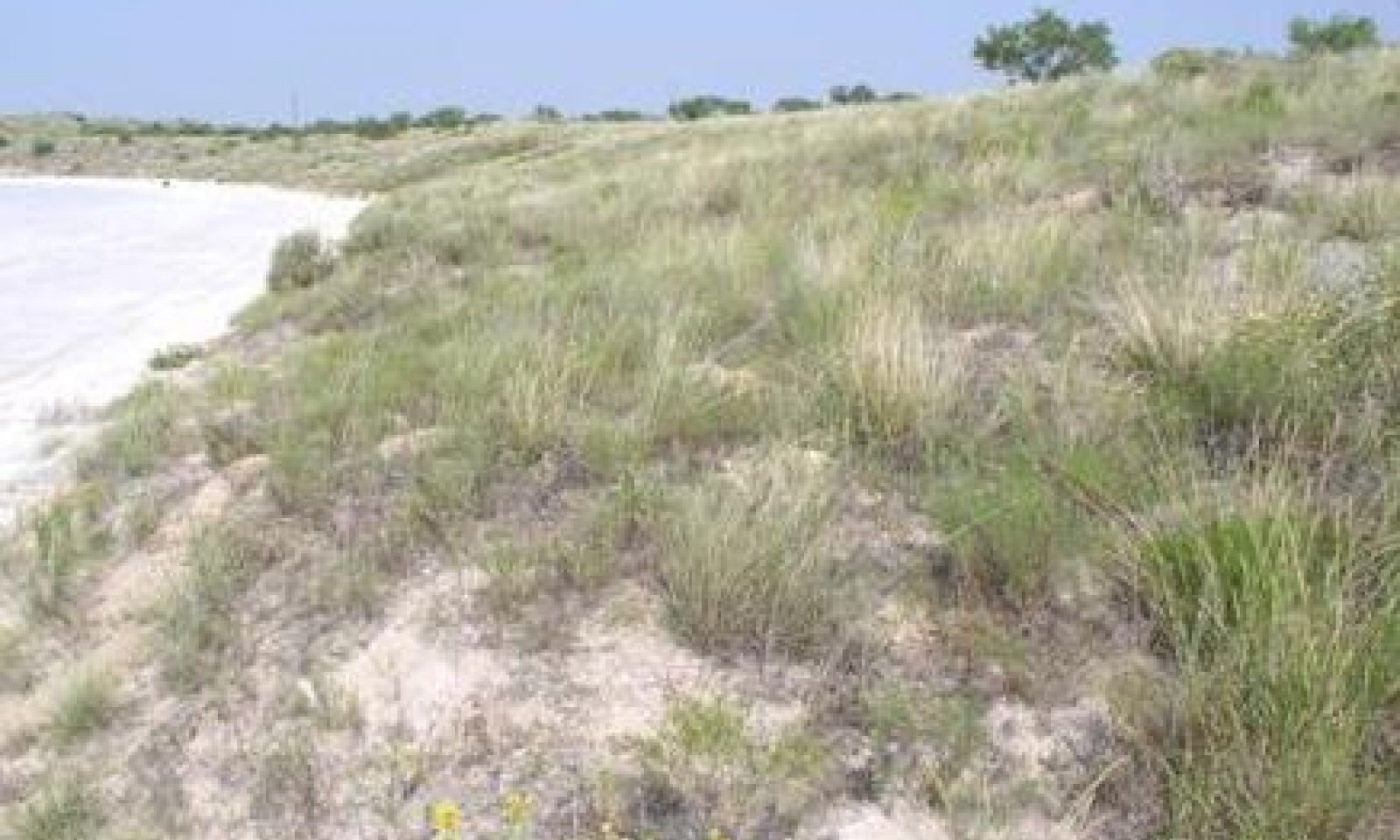
The resulting Midgrass/Shortgrass Community (1.1) was a mixture of midgrass and shortgrass species. On the slopes and ridges, alkali sacaton, black grama, blue grama, and sideoats grama were the dominant grass species. The more common grasses in the low lying areas were vine mesquite, cane bluestem, and plains bristlegrass. Grasses made up approximately 95% of the total annual production. Only traces of forbs could be found on the site, typical associated forbs included plains blackfoot, curlycup gumweed, dotted gayfeather, Texas croton, along with a few other annual and perennial forbs. Fourwing saltbush was the primary woody species on the High Lime sites making up <5% of the total annual production.
With excessive grazing over long periods, ecological retrogression takes place. This will bring about the Shortgrass/Midgrass/Annuals Community (1.2) phase with decreased amounts of low vigor black grama, sideoats grama and blue grama. Less palatable species such as alkali sacaton will increase along with inland saltgrass, dropseed species and perennial threeawns. The few better quality perennial forbs will be replaced with less desirable annual and perennial forbs. Fourwing saltbush will begin to increase. Broom snakeweed may invade some sites. Once established, broom snakeweed can increase to the point of domination. The total production will be approximately 850 to 1,650 pounds per acre.
Submodel
Description
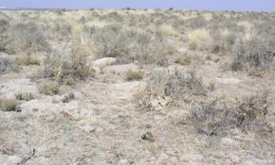
Alkali sacaton will increase on the slopes and ridges along with an invasion of low quality shortgrasses such as burrograss, fluffgrass and hairy tridens. Fourwing saltbush will dominate, on some sites broom snakeweed may increase to the point of sub-domination. Inland saltgrass and salt cedar will typically invade the low lying areas. Western ragweed and sagewort will be common throughout the site with a dramatic increase in annuals filling the voids. The short and midgrass species that do remain will be in low vigor. Total production will be approximately 900 to 1,400 pounds per acre with shrubs and annuals accounting for 60 – 70% of the site production.
Submodel
Mechanism
With continued heavy grazing pressure, no fires, long-term droughts, no brush management, and no pest management, the grassland state for the High Lime ecological site will transition to the Shrubland State.
Mechanism
Prescribed grazing with rest periods during the growing season, re-seeding bare areas with adapted native grass species, and chemical brush and pest management will be required. Full recovery and maintenance of the reference state(1) requires continued proper grazing management as well as occasional brush and pest management.
Relevant conservation practices
| Practice | External resources |
|---|---|
|
Brush Management |
|
|
Range Planting |
|
|
Integrated Pest Management (IPM) |
|
|
Prescribed Grazing |
Model keys
Briefcase
Add ecological sites and Major Land Resource Areas to your briefcase by clicking on the briefcase (![]() ) icon wherever it occurs. Drag and drop items to reorder. Cookies are used to store briefcase items between browsing sessions. Because of this, the number of items that can be added to your briefcase is limited, and briefcase items added on one device and browser cannot be accessed from another device or browser. Users who do not wish to place cookies on their devices should not use the briefcase tool. Briefcase cookies serve no other purpose than described here and are deleted whenever browsing history is cleared.
) icon wherever it occurs. Drag and drop items to reorder. Cookies are used to store briefcase items between browsing sessions. Because of this, the number of items that can be added to your briefcase is limited, and briefcase items added on one device and browser cannot be accessed from another device or browser. Users who do not wish to place cookies on their devices should not use the briefcase tool. Briefcase cookies serve no other purpose than described here and are deleted whenever browsing history is cleared.
Ecological sites
Major Land Resource Areas
The Ecosystem Dynamics Interpretive Tool is an information system framework developed by the USDA-ARS Jornada Experimental Range, USDA Natural Resources Conservation Service, and New Mexico State University.


