Clayey Upland 25-28" PZ
Scenario model
Current ecosystem state
Select a state
Management practices/drivers
Select a transition or restoration pathway
-
Transition T1A
Absence of disturbance and natural regeneration over time, may be coupled with excessive grazing pressure
More details -
Transition T1B
extensive soil disturbance followed by seeding
More details -
Restoration pathway R2A
Adequate rest from defoliation and removal of woody canopy, followed by reintroduction of historic disturbance regimes
More details -
Transition T2A
extensive soil disturbance followed by seeding
More details -
No transition or restoration pathway between the selected states has been described
Target ecosystem state
Select a state
State 1
Midgrass/Shortgrass State


Description
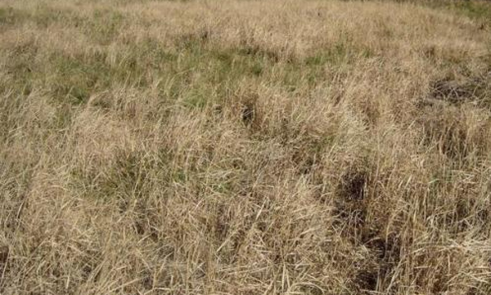
The reference plant community for the Clayey Upland ecological site is an open grassland composed of midgrass/shortgrass prairie. In pristine conditions, the site is dominated by midgrasses such as sideoats grama, vine-mesquite, and Texas wintergrass. Shortgrasses such as buffalograss and curlymesquite are a significant part of the plant community as well. This site has relatively few perennial forbs. Shrubs and trees make up less than 2% woody canopy.
The Shortgrass/Midgrass Community is composed of sideoats grama and vine mesquite which begin to decline because of disturbance or neglect as a result of short-term or sporadic heavy grazing, lack of fire, climatic factors, or other factors. Shortgrasses such as buffalograss, curlymesquite, and Texas grama begin to dominate the site. More annual grasses and forbs begin to appear on the site. Mesquite, lotebush, pricklypear, and tasajillo begin to invade from adjacent sites and the shrub canopy begins to gradually increase.
The Shortgrass/Forb Community is the result of prolonged periods of damaging disturbances and neglect which may include continuous abusive grazing and total lack of prescribed fire or brush management. Shortgrasses continue to dominate the site, and annual forbs and grasses increase dramatically. A few individual plants of sideoats grama and vine mesquite remain in isolated areas. Mesquite, lotebush, pricklypear, and tasajillo become well established.
Submodel
Description
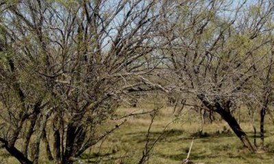
The Shrubland Community is dominated by shrubs. Mesquite canopy may exceed 20%. Texas wintergrass increased concurrently with increasing canopy as it is a shade tolerant cool-season grass. Lotebush is found throughout the site and pricklypear and tasajillo populations increase significantly. Annual forbs such as broomweed are abundant.
Submodel
Description
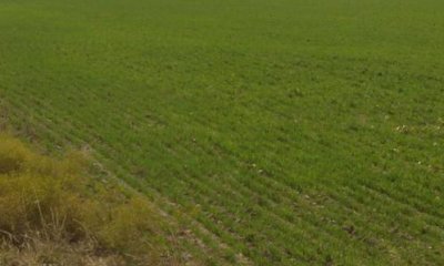
A large percentage of this site has been plowed up and converted to cropland or planted to monocultures of introduced grasses. Cropland is mostly small grains or cotton. Introduced grasses used on this site are primarily bermudagrass, Kleingrass, and K.R. bluestem.
Areas converted to cropland, pastureland, or hayland are intensively managed with annual cultivation and/or frequent use of herbicides, pesticides, and commercial fertilizers to increase production. Refer to Forage Suitability Group Descriptions to learn more about adapted species, management, and production potentials on pasturelands and haylands.
Submodel
Mechanism
Abusive grazing, resulting from overstocking and continuous grazing, leads to a drastic change in the herbaceous plant community. Lower successional grasses including threeawns, Texas grama, red lovegrass, broomweed, and annual grasses become the dominant herbaceous species. Increased bare ground enables opportunistic forbs such as broomweed and annual forbs to invade the site. Elimination of fire from the ecosystem is a major cause of the significant increase in the frequency, density, and canopy of invasive shrubs such as mesquite, lotebush, pricklyash, catclaw acacia, pricklypear, and tasajillo.
Mechanism
The site can be converted to other land uses including cropland, orchard land, introduced pasture, etc. At this stage, the land conversion would require the following steps: 1) Brush management if the tree and shrub density and canopy exceed 15 to 20%, 2) followed by seedbed preparation, 3) seeding or planting of the desired crop, grasses, or trees.
Mechanism
Once the site has deteriorated to this state, it is no longer capable of recovering to the reference plant community through the implementation of management practices alone. Brush Management practices are needed to eliminate non-native species, control undesired native species, and reduce overhead canopy to allow understory species to establish and produce. At this stage, there is not a viable population or seed source of the original plant community, so Range Planting is needed to re-establish native grasses and forbs that were components of the original plant community. However, mechanical Brush Management and Range Planting are very expensive. If the original plant community can be restored, Prescribed Grazing and Prescribed Burning are essential to the recovery and maintenance of the desired plant community.
Relevant conservation practices
| Practice | External resources |
|---|---|
|
Brush Management |
|
|
Prescribed Burning |
|
|
Range Planting |
|
|
Prescribed Grazing |
Mechanism
The site can be converted to other land uses including cropland, orchard land, introduced pasture, etc. At this stage, the land conversion would require the following steps: 1) Brush management and/or land clearing to remove shrubs and trees, 2) seedbed preparation, 3) seeding or planting of the desired crop, grasses, or trees.
Model keys
Briefcase
Add ecological sites and Major Land Resource Areas to your briefcase by clicking on the briefcase (![]() ) icon wherever it occurs. Drag and drop items to reorder. Cookies are used to store briefcase items between browsing sessions. Because of this, the number of items that can be added to your briefcase is limited, and briefcase items added on one device and browser cannot be accessed from another device or browser. Users who do not wish to place cookies on their devices should not use the briefcase tool. Briefcase cookies serve no other purpose than described here and are deleted whenever browsing history is cleared.
) icon wherever it occurs. Drag and drop items to reorder. Cookies are used to store briefcase items between browsing sessions. Because of this, the number of items that can be added to your briefcase is limited, and briefcase items added on one device and browser cannot be accessed from another device or browser. Users who do not wish to place cookies on their devices should not use the briefcase tool. Briefcase cookies serve no other purpose than described here and are deleted whenever browsing history is cleared.
Ecological sites
Major Land Resource Areas
The Ecosystem Dynamics Interpretive Tool is an information system framework developed by the USDA-ARS Jornada Experimental Range, USDA Natural Resources Conservation Service, and New Mexico State University.


