Clayey Bottomland 19-26" PZ
Scenario model
Current ecosystem state
Select a state
Management practices/drivers
Select a transition or restoration pathway
-
Transition T1A
Absence of disturbance and natural regeneration over time, may be coupled with excessive grazing pressure
More details -
Restoration pathway R2A
Reintroduction of historic disturbance regimes, may be coupled with rangeland seeding
More details -
No transition or restoration pathway between the selected states has been described
Target ecosystem state
Select a state
State 1
Grassland State


Description
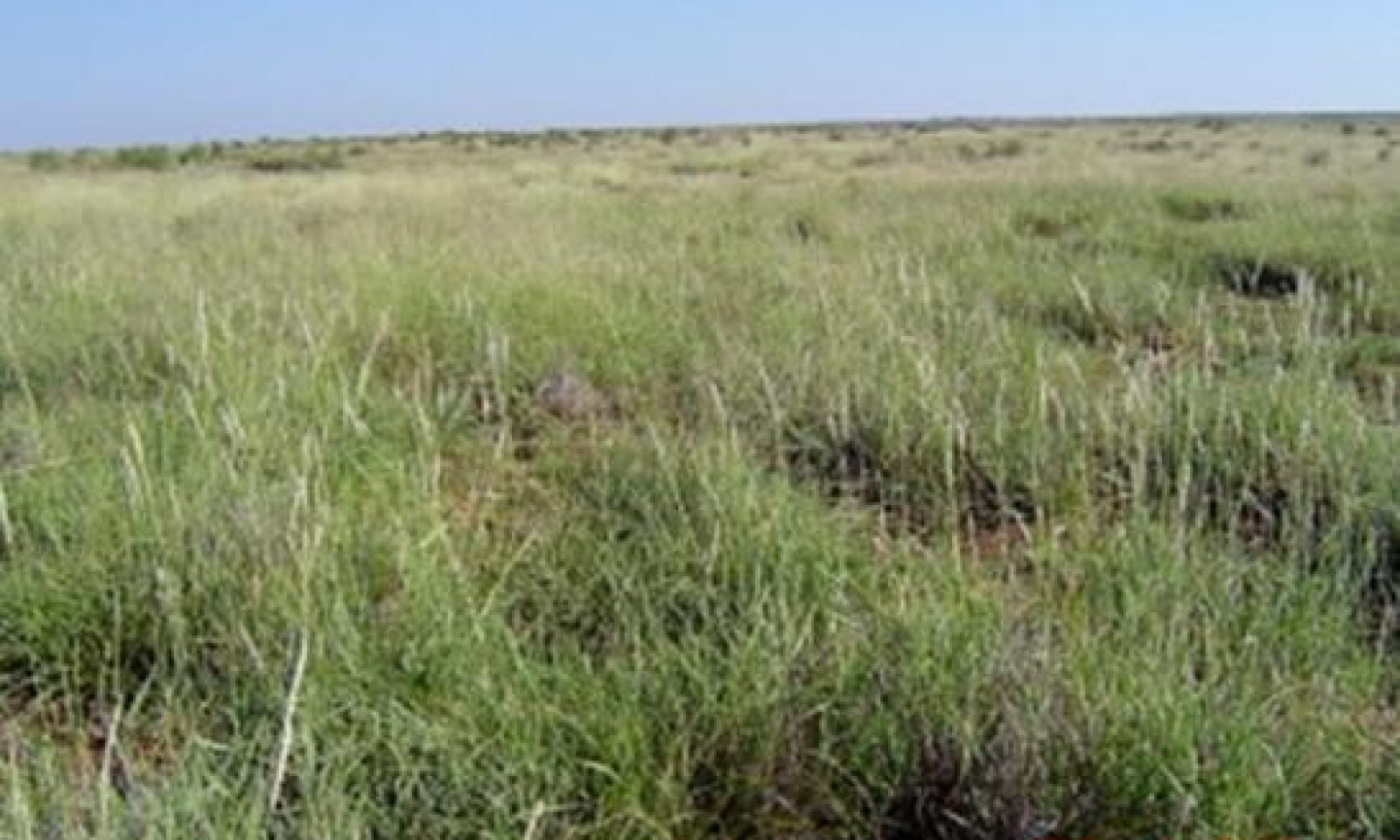
The Midgrass/Shortgrass Community (1.1) is an open prairie dominated by mid and shortgrasses. Trees such as hackberry, bumelia and willow grow along the drainage ways. Smartweed and low growing sedges may be found in the common small depressions. Tobosa is the dominant grass with sideoats grama, vine mesquite, and cane or silver bluestem as the dominant midgrasses. Buffalograss and curly mesquite are common shortgrasses. Forbs included mallow, verbena, greenthread and annual forbs. Shrubs are scarce and mesquite may also be present but kept as scattered multi-stemmed shrubs by repeated wildfires.
The Tobosa/Shortgrass Community (1.2) is a tobosa-dominated grassland community being encroached by woody species that previously have been held at low densities by repeated fires and competition from a vigorous grass component. Saline conditions may occur, resulting in increased amounts of alkali sacaton and inland saltgrass. Salt cedar can become invasive on this site. Woody species, including pricklypear and mesquite, increased in density because continuous heavy grazing by livestock reduced grass cover, exposed soil and reduced fine fuel necessary for effective fires.
Submodel
State 2
Shrubland State


Description
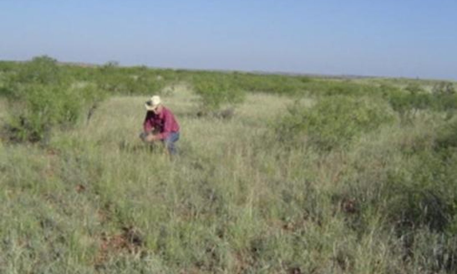
The Tobosa/Shortgrass-Mesquite/Mixed-Brush Community (2.1) presents fifteen to forty percent woody plant cover dominated by mesquite with a tobosa/shortgrass understory. The diversity of the grassland component declines while woody plants and unpalatable forbs increase. All, but the more palatable woody species, have increased in size and density. The typical woody plant cover is mesquite as the dominant overstory with pricklypear, wolfberry, lotebush, ephedra and broomweed as common understory shrubs. Willows, hackberry and mesquite increase along the stream. Tobosa dominates the herbaceous layer in the interspaces between trees and shrubs. Tobosa remains dominant, but as regression progresses under heavy grazing pressure, tobosa gives way to buffalograss and other less palatable shortgrasses and forbs.
The Mesquite/Tobosa/Annuals Community (2.2) is a mesquite-dominated shrubland. Remnants of the reference grassland vegetation, mostly tobosa, shortgrasses, shade tolerant forbs and annuals, occupy the shrub interspaces. The typical woody plant cover is mesquite as the dominant woody species with pricklypear, tasajillo, lotebush and wolfberry common understory shrubs. Tobosa remains dominant in the herbaceous layer initially, but with heavy continuous grazing gives way to buffalograss and other less palatable shortgrasses, such as whorled dropseed, white tridens and weedy annuals. Because of grazing pressure and competition for nutrients and water from the woody plants, the grassland component shows lack of plant vigor and productivity.
Submodel
Mechanism
The Grassland State will transition into the Shrubland State if heavy continuous grazing and no fires continue to occur.
Mechanism
With the application of conservation practices including Prescribed Grazing, Brush Management, Prescribed Burning, and Range Planting, the Tobosa/Shortgrass-Mesquite/Mixed-Brush Community can be restored to the Grassland State.
Model keys
Briefcase
Add ecological sites and Major Land Resource Areas to your briefcase by clicking on the briefcase (![]() ) icon wherever it occurs. Drag and drop items to reorder. Cookies are used to store briefcase items between browsing sessions. Because of this, the number of items that can be added to your briefcase is limited, and briefcase items added on one device and browser cannot be accessed from another device or browser. Users who do not wish to place cookies on their devices should not use the briefcase tool. Briefcase cookies serve no other purpose than described here and are deleted whenever browsing history is cleared.
) icon wherever it occurs. Drag and drop items to reorder. Cookies are used to store briefcase items between browsing sessions. Because of this, the number of items that can be added to your briefcase is limited, and briefcase items added on one device and browser cannot be accessed from another device or browser. Users who do not wish to place cookies on their devices should not use the briefcase tool. Briefcase cookies serve no other purpose than described here and are deleted whenever browsing history is cleared.
Ecological sites
Major Land Resource Areas
The Ecosystem Dynamics Interpretive Tool is an information system framework developed by the USDA-ARS Jornada Experimental Range, USDA Natural Resources Conservation Service, and New Mexico State University.

