Draw 23-30" PZ
Scenario model
Current ecosystem state
Select a state
Management practices/drivers
Select a transition or restoration pathway
-
Transition T1A
Absence of disturbance and natural regeneration over time, may be coupled with excessive grazing pressure
More details -
Transition T1B
Extensive soil disturbance followed by seeding
More details -
Restoration pathway R2A
Adequate rest from defoliation and removal of woody canopy, followed by reintroduction of historic disturbance regimes
More details -
Transition T2A
Extensive soil disturbance followed by seeding
More details -
No transition or restoration pathway between the selected states has been described
Target ecosystem state
Select a state
State 1
Grassland State


Description
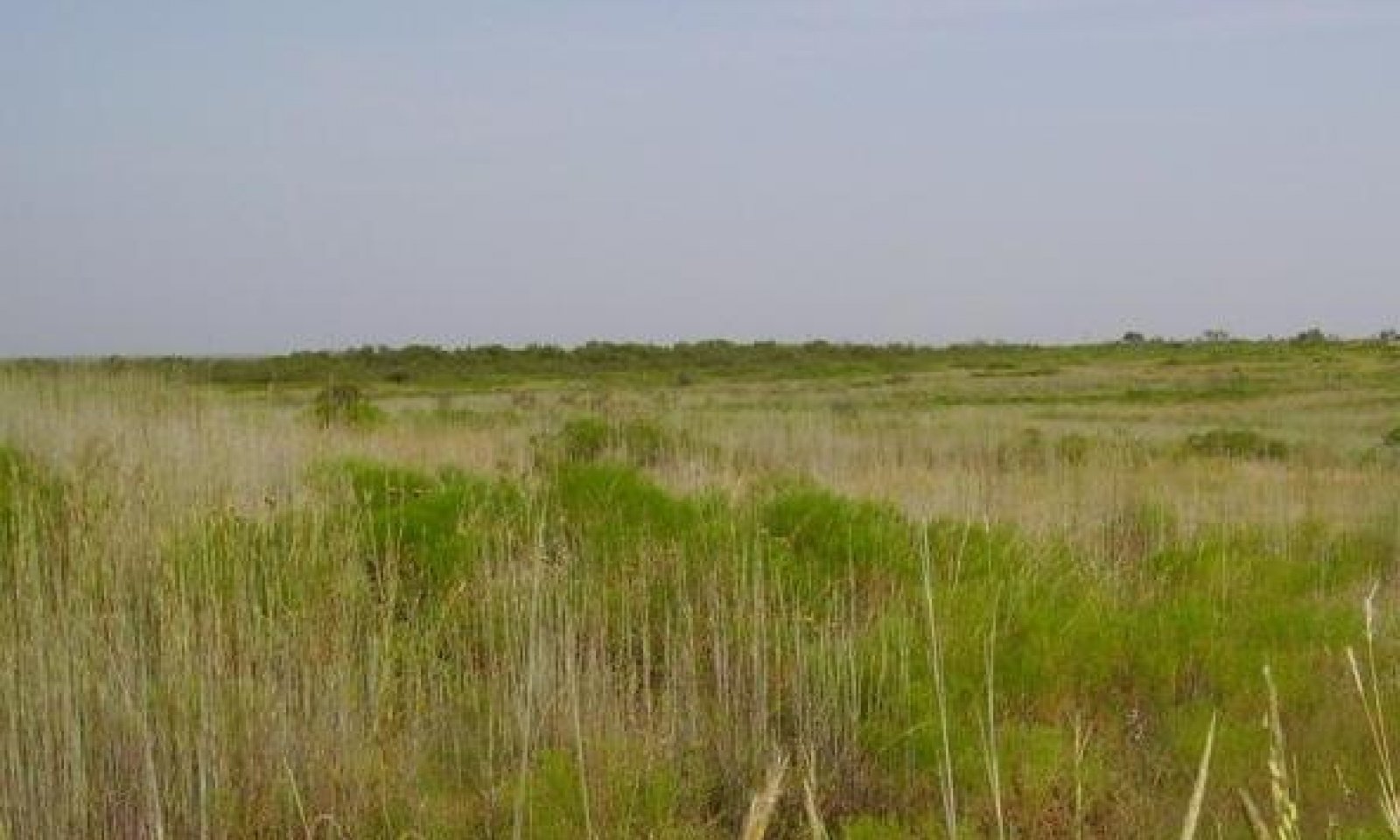
The Midgrass Prairie Community (1.1) was an open prairie community dominated by midgrasses. Trees such as hackberry, western soapberry, American elm and Osage orange grew along the drainage ways and areas protected from fires. The most common midgrasses are thought to have been sideoats grama, vine mesquite, cane or silver bluestem, meadow dropseed, Arizona cottontop, and white tridens. Buffalograss and blue grama were common shortgrasses with lesser amounts of plains bristlegrass and sand dropseed. Texas wintergrass, Canada wildrye and western wheatgrass were important parts of the midgrass and cool-season grass component. Alkali sacaton was common where soil salt accumulations were high and sedges were present in most depressions. Forbs included Engelmann daisy, Maximilian sunflower, Illinois bundleflower, bush sunflower, and annual forbs. Shrubs and vines were scarce but probably included fire resistant species such as catclaw acacia, bumelia, ephedra, greenbriar and lotebush. (See plant community composition table below for complete listing of probable climax species.) The Midgrass Prairie Community (1.1) produced as much as 5000 pounds herbage in good moisture years and as little as 2000 pounds in dry years. Grasses and forbs contributed up to 90 percent of the total annual production in reference conditions.
The Mixed-grass Prairie Community (1.2) is a grassland community being invaded by woody species that had previously been held at low densities by repeated fires, infrequent droughts and competition from a vigorous grass component. With continuous heavy grazing the more palatable plants are consumed more readily than less palatable ones. When they are subjected to repeated over-utilization they lose their competitive advantage and are replaced by less palatable or more grazing resistant species. Western wheatgrass and Canada wildrye generally decline with overgrazing. Most of the perennial forbs remain in this plant community, although in lesser amounts. Saline conditions may occur in overgrazed areas, resulting in increased amounts of alkali sacaton. Salt cedar can invade this site where saline conditions develop. The encroaching woody species are generally less than four feet tall and subject to control by prescribed burning in conjunction with proper stocking and grazing management. The woody canopy varies between five and 15 percent depending on length and severity of grazing, timing and frequency of fires and seed availability of invading species. Typically, mesquite, pricklypear, lotebush, wolfberry and bumelia were early and persistent encroaching woody species. Annual primary production is reduced slightly relative to the reference community, ranging from 2000 to 4000 pounds per acre.
Submodel
State 2
Woodland State


Description
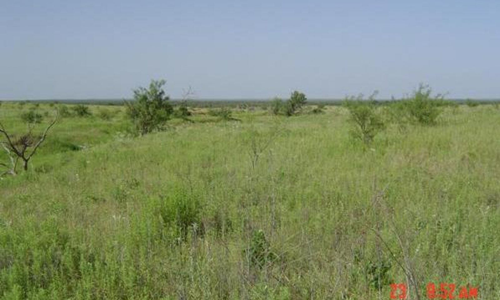
The Shortgrass/Mixed-brush Community (2.1) is comprised of woody species producing 15 to 35 percent of the annual production. The diversity of the grassland component has declined while unpalatable woody plants and forbs increase. All, but the more palatable woody species, have increased in size and density. The typical woody plant cover is a mesquite dominant overstory with pricklypear, lotebush, ephedra, and lotebush as common understory shrubs. Tobosa dominates the herbaceous layer in the interspaces between trees and shrubs in the western portion of the MLRA where it was present originally. Buffalograss becomes dominant elsewhere. Remnants of reference community grasses and forbs and less palatable species such as alkali sacaton, vine-mesquite, meadow dropseed, threeawn, silver bluestem, white tridens and annuals occur in the woody plant interspaces. Some forbs are found in this community. Cool-season grasses, such as Texas wintergrass and Canada wildrye, are persistent under and around woody plants where shading occurs and they are protected from grazing. Annual herbage production ranges from approximately 1800 to 3750 pounds per acre.
The Mixed-brush/Shortgrass/Annuals Community (2.2) is a usually a mesquite-dominated shrubland with hackberry and American elm trees along the stream line. Other trees such as western soapberry, Osage orange or oaks may be scattered throughout the drainage. Salt cedar is often invasive in wetter places. Junipers may also invade the site. Remnants of the climax grassland vegetation, mostly tobosa (in western portion) and/or buffalograss, cool-season grasses and annuals, occupy the shrub interspaces. Alkali sacaton is found where saline conditions have developed. As this plant community nears maturity, trees and shrubs provide 75 percent or more canopy cover and dominate biomass production. Annual primary production is approximately 1800 to 4000 pounds per acre.
Submodel
Mechanism
If overgrazing continues the invading species continue to increase in size and density. Once the woody plants become dense enough (>15 %) to suppress grass growth and/or big enough (> 4 feet) to resist fire damage the Mixed-grass Prairie Community (1.2) transitions into the Shortgrass/Mixed-brush Community (2.1). At this threshold the fine fuel load provided by grasses is too low to control brush effectively with prescribed burning alone.
Mechanism
With brush removal practices, crop cultivation, plowing, pasture planting, pest management and nutrient management, the Grassland State can be converted into the Converted Land State.
Mechanism
Restoration and conservation practices for the Woodland State to the Grassland State include: (a) brush management to remove undesirable brush species, (b) range planting of native species to return vegetation back to near reference conditions and (c) establish prescribed grazing and prescribed fire and other conservation practices to maintain the health of the desired plant community.
Relevant conservation practices
| Practice | External resources |
|---|---|
|
Brush Management |
|
|
Prescribed Burning |
|
|
Range Planting |
|
|
Prescribed Grazing |
Model keys
Briefcase
Add ecological sites and Major Land Resource Areas to your briefcase by clicking on the briefcase (![]() ) icon wherever it occurs. Drag and drop items to reorder. Cookies are used to store briefcase items between browsing sessions. Because of this, the number of items that can be added to your briefcase is limited, and briefcase items added on one device and browser cannot be accessed from another device or browser. Users who do not wish to place cookies on their devices should not use the briefcase tool. Briefcase cookies serve no other purpose than described here and are deleted whenever browsing history is cleared.
) icon wherever it occurs. Drag and drop items to reorder. Cookies are used to store briefcase items between browsing sessions. Because of this, the number of items that can be added to your briefcase is limited, and briefcase items added on one device and browser cannot be accessed from another device or browser. Users who do not wish to place cookies on their devices should not use the briefcase tool. Briefcase cookies serve no other purpose than described here and are deleted whenever browsing history is cleared.
Ecological sites
Major Land Resource Areas
The Ecosystem Dynamics Interpretive Tool is an information system framework developed by the USDA-ARS Jornada Experimental Range, USDA Natural Resources Conservation Service, and New Mexico State University.

