Loamy Bottomland 23-31" PZ
Scenario model
Current ecosystem state
Select a state
Management practices/drivers
Select a transition or restoration pathway
-
Transition T1A
Absence of disturbance and natural regeneration over time, may be coupled with excessive grazing pressure
More details -
Transition T1B
Extensive soil disturbance followed by seeding
More details -
Restoration pathway R2A
Adequate rest from defoliation and removal of woody canopy, followed by reintroduction of historic disturbance regimes
More details -
Transition T2A
Extensive soil disturbance followed by seeding
More details -
No transition or restoration pathway between the selected states has been described
Target ecosystem state
Select a state
Description
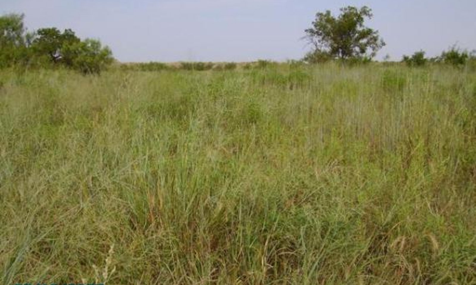
The reference community for the Loamy Bottomland Ecological Site was dominated by tallgrass species. The herbaceous component accounted for 75 to 80 percent of the site’s primary annual production, with tallgrasses such as switchgrass, Indiangrass, big and sand bluestem and little bluestem accounting for 40 to 50 percent of the herbage production. Secondary grasses were sideoats grama, vine mesquite, Arizona cottontop, and plains bristlegrass. Canada wildrye, Texas wintergrass and western wheatgrass were common cool-season grasses. Common forbs included Maximilian sunflower, Illinois bundleflower, heath aster, gaura, prairie clover and Engelmann’s daisy. Woody plants, primarily cottonwood, hackberry, pecan and American elm were widely scattered along the stream course and draws. Shrubs and vines such as bumelia, blackhaw, plum, and pricklyash were present but kept suppressed by periodic fires and grass competition. Annual primary production ranges from 3000 to 8000 pounds annually.
The Mixed-grass Community (1.2) reflects the results of the suppression of fires and the effects of overgrazing on the more palatable species. Indigenous and invading woody plants have increased in density and stature. The endemic hardwoods, particularly plum, western soapberry, sumacs, and elm expand in size and density. Little bluestem, sideoats grama, vine-mesquite, are generally persistent in this phase, but most of the more palatable tall and midgrasses are being replaced by subdominants such as silver bluestem, tobosa, Texas wintergrass and less palatable forbs and annuals. Western ragweed, heath aster and Louisiana sagewort are common weeds. Forage production is not significantly affected but primary production is shifting to the less palatable or more grazing resistant species. Annual primary production ranges from 2500 to 7500 pounds.
Submodel
State 2
Woodland State


Description
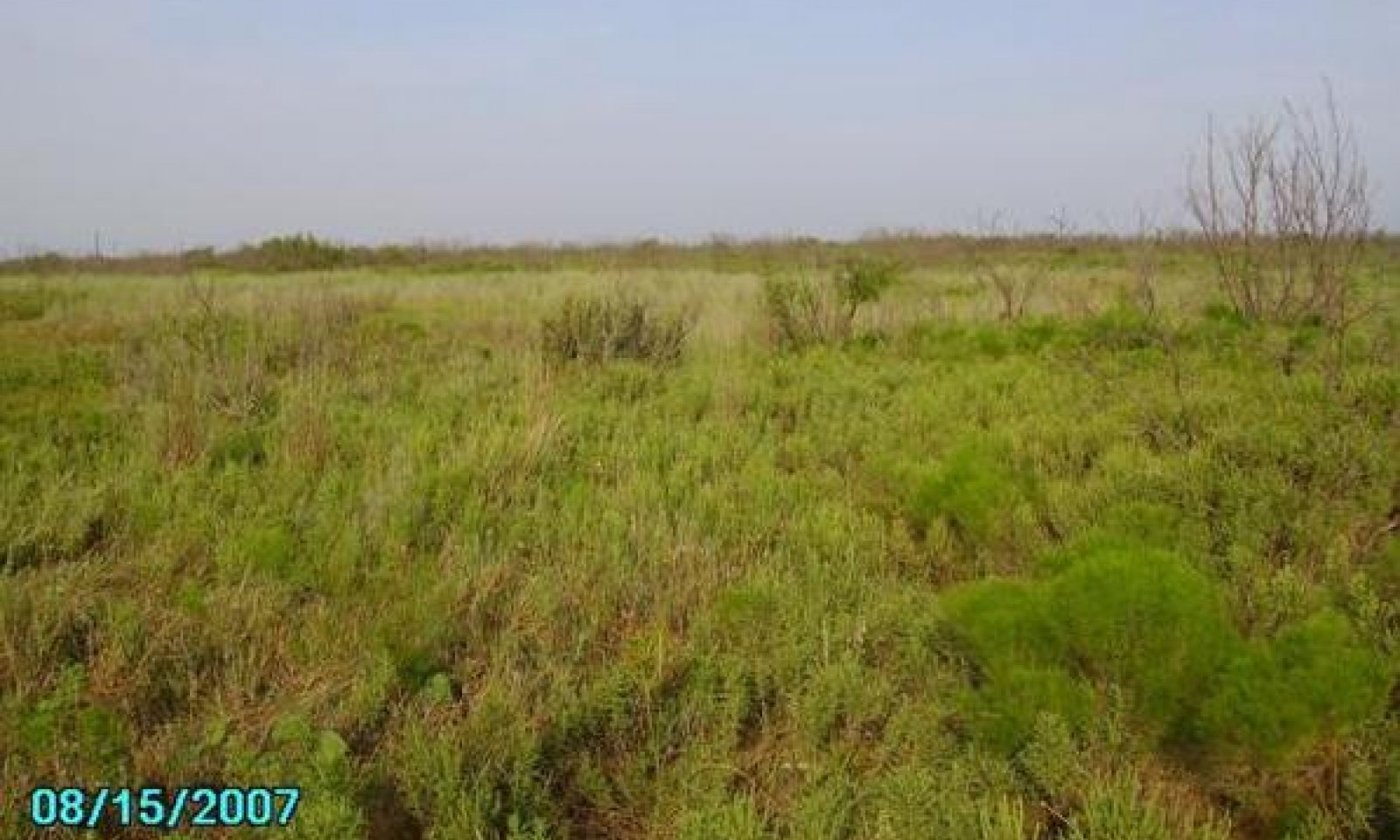
The Shortgrass/Mixed-brush Community (2.1) supports a 20 to 35 percent woody plant cover dominated by various bottomland hardwoods plus invading mesquite and mixed-brush with a shortgrass dominated herbaceous layer. The diversity of the grassland component declines while unpalatable woody plants and forbs increase. All, but the more palatable woody species, have increased in size and density. The typical woody plant cover is mesquite dominated with pricklypear, lotebush, and ephedra. Pecan, cottonwood, western soapberry, hackberry and elm persist near the stream edge. Where present, tobosa remains the dominant grass, but as regression progresses under heavy grazing pressure, tobosa gives way to buffalograss and other less palatable shortgrasses and forbs. Gaura, western ragweed, verbena, greenthread and, prairie coneflower are commonly found in this community. Cool-season grasses, such as Texas wintergrass, Canada wildrye and western wheatgrass, are persistent under and around woody plants where shading occurs. Annual herbage production ranges from approximately 2,000 to 7,000 pounds per acre, depending on precipitation events, flooding events and dry cycles.
The Mixed-brush/Annuals Woodland Community (2.2) is the result of continued overgrazing by livestock and no control of woody species. Several woody species may dominate the site. Cottonwood, hackberry and elm were the early dominants. Western soapberry, mesquite and salt cedar have increased tremendously in the past few decades. They often form dense woodlands on the site where grazing has been heavy and continuous and fires have been excluded. Salt cedar, along with baccharis, is particularly problematic where salinity has increased. Common understory shrubs are pricklypear, tasajillo and plum. Shortgrasses, cool-season grasses and low quality annual and perennial forbs occupy the tree interspaces. Characteristic grasses found in this plant community are Texas wintergrass, three-awns, annual panicum, tobosa, silver bluestem and sedges. With continued heavy grazing by livestock and deer, the brush canopy can increase to almost 100 percent cover.
Submodel
Description
The Converted Land Community has been cultivated for cropland or pastureland purposes. Small grain or forage sorghum may be cropped. Permanent native and introduce pasture may also be planted. Sometimes the community may be abandoned and let “go back” to native species encroached by woody species.
Submodel
Mechanism
Due to heavy continuous grazing, no brush management, and no fires to keep the brush species in check, the Grassland State will transition into the Shrubland State.
Mechanism
The transition to the Converted Land State occurs when crop cultivation practices, plowing, range planting, pasture planting, pest management, and nutrient management are applied to cropland, pastureland or go back land.
Mechanism
Converting the Woodland State back to the Grassland state requires extensive and expensive reclamation practices. Without major brush control and management inputs, this plant community cannot be returned to grassland. Range planting, prescribed grazing and prescribed burning, must follow intensive mechanical brush control.
Relevant conservation practices
| Practice | External resources |
|---|---|
|
Brush Management |
|
|
Prescribed Burning |
|
|
Prescribed Grazing |
|
|
Range Planting |
Model keys
Briefcase
Add ecological sites and Major Land Resource Areas to your briefcase by clicking on the briefcase (![]() ) icon wherever it occurs. Drag and drop items to reorder. Cookies are used to store briefcase items between browsing sessions. Because of this, the number of items that can be added to your briefcase is limited, and briefcase items added on one device and browser cannot be accessed from another device or browser. Users who do not wish to place cookies on their devices should not use the briefcase tool. Briefcase cookies serve no other purpose than described here and are deleted whenever browsing history is cleared.
) icon wherever it occurs. Drag and drop items to reorder. Cookies are used to store briefcase items between browsing sessions. Because of this, the number of items that can be added to your briefcase is limited, and briefcase items added on one device and browser cannot be accessed from another device or browser. Users who do not wish to place cookies on their devices should not use the briefcase tool. Briefcase cookies serve no other purpose than described here and are deleted whenever browsing history is cleared.
Ecological sites
Major Land Resource Areas
The Ecosystem Dynamics Interpretive Tool is an information system framework developed by the USDA-ARS Jornada Experimental Range, USDA Natural Resources Conservation Service, and New Mexico State University.


