Sand Hills 23-31" PZ
Scenario model
Current ecosystem state
Select a state
Management practices/drivers
Select a transition or restoration pathway
-
Transition T1A
Absence of disturbance and natural regeneration over time, may be coupled with excessive grazing pressure
More details -
Restoration pathway R2A
Adequate rest from defoliation and removal of woody canopy, followed by reintroduction of historic disturbance regimes
More details -
No transition or restoration pathway between the selected states has been described
Target ecosystem state
Select a state
Description
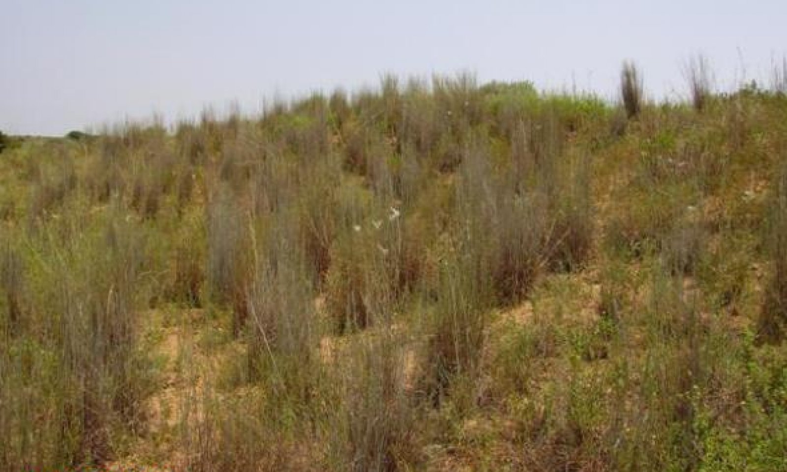
The Tallgrass Prairie Community (1.1) is the interpretive plant community for this site. The reference plant community is assumed to have been a tallgrass prairie with scattered motts of shrubs or trees. Indiangrass, switchgrass, sand bluestem, little bluestem, giant sandreed and giant dropseed dominated this plant community. The tall grasses and forbs were adapted to the course deep sands and good soil moisture relationship. Woody species were also adapted but apparently were kept at low levels because of frequent wildfires and occasional long droughts. The vegetation probably varied considerably because of differences in soil development and sharp changes in topography. Dune development was apparently ongoing adjacent to the streams next to which the site is found.
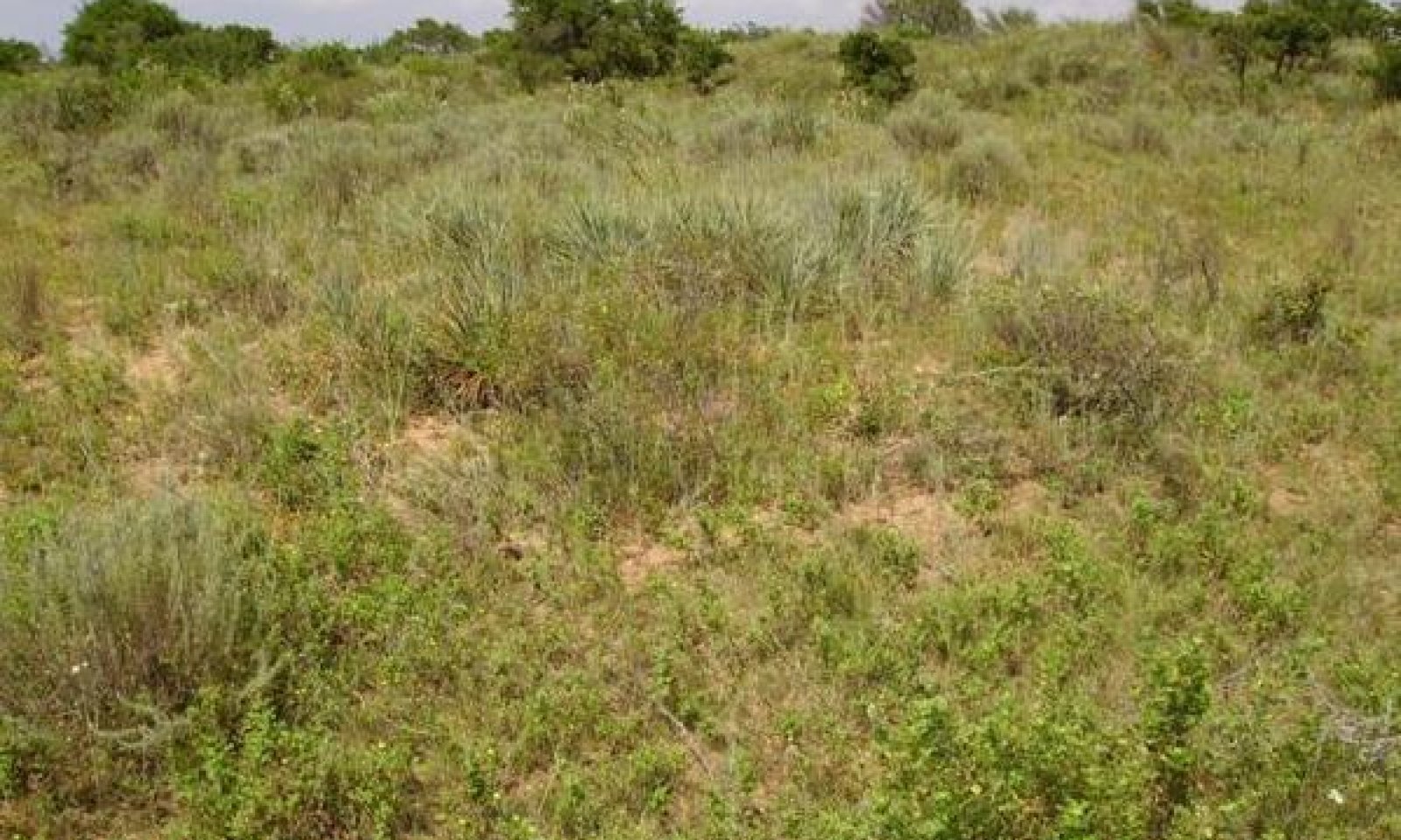
The Mixed-Grass Community (1.2) is dominated by mid and tall grasses and being invaded by woody species. The woody plants had been held at low densities by repeated fires, droughts and competition from a vigorous grass component. Shrubby species are increasing in density. Typically, sand sagebrush, plum and yucca are early and persistent invaders. Netleaf hackberry and elm trees often dot the landscape. The preferred tall and midgrasses are being replaced by the more grazing resistant species.
Submodel
State 2
Shrubland State


Description
The Midgrass/Mixed-brush Community (2.1) supports a 20 to 35 percent woody plant canopies with sand sagebrush, plum, hackberry and yucca the most common shrubs. There is a decline in diversity of the grassland component and an increase in woody species. Total plant production declines somewhat, being approximately 1000 to 3000 pounds per acre, depending on precipitation. Annual production is balanced between herbaceous plants and woody plants. Remnants of historic climax grasses and forbs and unpalatable invaders can be found in and under and between woody plants. Characteristic grasses are little bluestem, meadow dropseed, sand dropseed, hooded windmillgrass, plains bristlegrass, threeawns, sand lovegrass plus other grazing resistant historic species.
The Mixed-brush/Shortgrass/Annuals Community is a shrubland community having sand sagebrush, yucca, skunkbush sumac, bumelia and sand plums. With continued heavy grazing and no brush control, the shrubs can approach 75 percent or more ground cover. Short-grasses and low seral stage annual and perennial forbs occupy the woody plant interspaces. Characteristic grasses are hooded windmillgrass, red lovegrass, gummy lovegrass, tumble lovegrass and sand dropseed. Forbs commonly found in this community include camphorweed, queen’s delight, and silverleaf nightshade. Numerous annual grasses and forbs may be present.
Submodel
Mechanism
When enough shrubs become established (~20%) and prescribed burning will not maintain a low shrub density, the Grassland State has transitioned into the Midgrass/Mixed-brush Community (2.1).
Mechanism
Converting the Woodland State back to the Grassland state requires extensive and expensive reclamation practices. Without major brush control and management inputs, this plant community cannot be returned to grassland. Range planting, prescribed grazing and prescribed burning, must follow intensive mechanical brush control.
Relevant conservation practices
| Practice | External resources |
|---|---|
|
Brush Management |
|
|
Prescribed Burning |
|
|
Prescribed Grazing |
|
|
Range Planting |
Model keys
Briefcase
Add ecological sites and Major Land Resource Areas to your briefcase by clicking on the briefcase (![]() ) icon wherever it occurs. Drag and drop items to reorder. Cookies are used to store briefcase items between browsing sessions. Because of this, the number of items that can be added to your briefcase is limited, and briefcase items added on one device and browser cannot be accessed from another device or browser. Users who do not wish to place cookies on their devices should not use the briefcase tool. Briefcase cookies serve no other purpose than described here and are deleted whenever browsing history is cleared.
) icon wherever it occurs. Drag and drop items to reorder. Cookies are used to store briefcase items between browsing sessions. Because of this, the number of items that can be added to your briefcase is limited, and briefcase items added on one device and browser cannot be accessed from another device or browser. Users who do not wish to place cookies on their devices should not use the briefcase tool. Briefcase cookies serve no other purpose than described here and are deleted whenever browsing history is cleared.
Ecological sites
Major Land Resource Areas
The Ecosystem Dynamics Interpretive Tool is an information system framework developed by the USDA-ARS Jornada Experimental Range, USDA Natural Resources Conservation Service, and New Mexico State University.


