Claypan Upland (North)
Circle-spoke model
Scenario model
Current land use
Select a land use
Management practices/drivers
Select a conversion
- Conversion C1 More details
- Conversion C4 More details
- Conversion C2 More details
- Conversion C3 More details
-
No conversion pathway between the selected land uses has been described
Target land use
Select a land use
Description
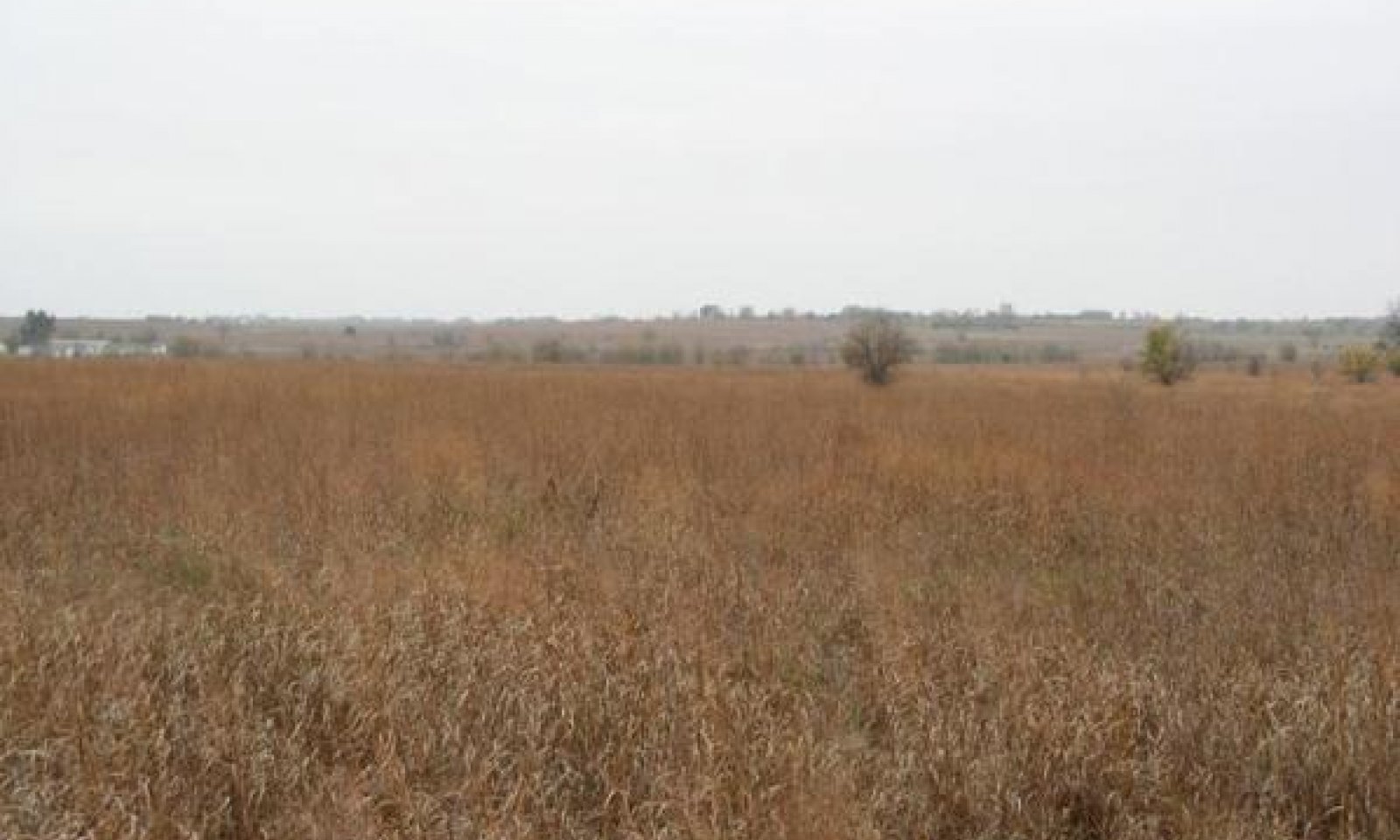
This land use is predominately used for grazingland or recreational use. This land use often requires fewer or less intensive inputs than other land use types. The rangeland land use includes both reference, unplowed rangeland as well as land that has been reseeded or repopulated to native species post-cultivation.
Submodel
Description
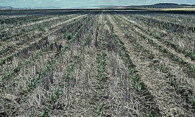
The site has been cultivated for the production of crops. Primary use is agronomic crop production.
Submodel
Description
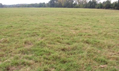
The site has been replanted to introduced forage grasses after cultivation ceased. Primary use is livestock and/or hay production. Often, this land use is managed as a monoculture with little biotic diversity. However, in some cases, forb/legume/grass mixtures are maintained with may increase soil and ecosystem health.
Submodel
Mechanism
Through cultivation and seeding of crop species, this land use is converted to Cropland.
Mechanism
This land use conversion is achieved through reseeding native grasses and forbs in order to restore the site for livestock grazing or hay production. While the site may be converted back to a rangeland land use, some soil properties and ecological function may not return to pre-cultivation levels.
Mechanism
With the cessation of cultivation and planting of perennial introduced forage grasses, this land use is converted to Introduced Pastureland.
Mechanism
This land use conversion is achieved through reseeding native grasses and forbs or allowing native species to repopulate the site by reducing management of introduced species. While the site may be converted back to a rangeland land use, some soil properties and ecological function may not return to pre-cultivation levels.
Model keys
Briefcase
Add ecological sites and Major Land Resource Areas to your briefcase by clicking on the briefcase (![]() ) icon wherever it occurs. Drag and drop items to reorder. Cookies are used to store briefcase items between browsing sessions. Because of this, the number of items that can be added to your briefcase is limited, and briefcase items added on one device and browser cannot be accessed from another device or browser. Users who do not wish to place cookies on their devices should not use the briefcase tool. Briefcase cookies serve no other purpose than described here and are deleted whenever browsing history is cleared.
) icon wherever it occurs. Drag and drop items to reorder. Cookies are used to store briefcase items between browsing sessions. Because of this, the number of items that can be added to your briefcase is limited, and briefcase items added on one device and browser cannot be accessed from another device or browser. Users who do not wish to place cookies on their devices should not use the briefcase tool. Briefcase cookies serve no other purpose than described here and are deleted whenever browsing history is cleared.
Ecological sites
Major Land Resource Areas
The Ecosystem Dynamics Interpretive Tool is an information system framework developed by the USDA-ARS Jornada Experimental Range, USDA Natural Resources Conservation Service, and New Mexico State University.


