Subirrigated Bottomland
Scenario model
Current ecosystem state
Select a state
Management practices/drivers
Select a transition or restoration pathway
- Transition T1A More details
- Transition T1B More details
- Transition T1C More details
- Restoration pathway R2A More details
- Transition T2A More details
- Transition T2B More details
- Restoration pathway R2A More details
- Transition T3A More details
- Transition T3B More details
-
No transition or restoration pathway between the selected states has been described
Target ecosystem state
Select a state
Description
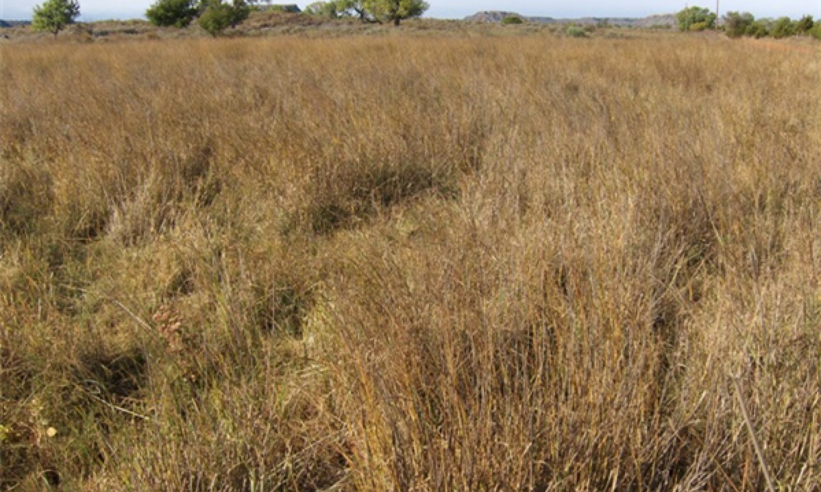
The following narratives describe the potential communities within the Grassland stable state. This state is dominated by herbaceous species with a minor woody component.
Submodel
Description
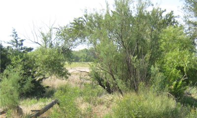
The following narratives describe the plant communities within the Woody state of this ecological site. In this state, woody vegetation begins to dominate the plant community.
Submodel
Description
This state has been converted to an agricultural site. Refer to appropriate Forage and Crop Suitability Reports for further information about vegetative production.
Submodel
Mechanism
If there is a significant decrease in competition from native grasses, invasive salt cedars can begin to dominate this site. This can be caused by increased bare ground from overgrazing or by an increase in soil salinity from a prolonged drop in the water table. Salt cedar is a very prolific reproducer and can survive and multiply in both wet and dry conditions.
Mechanism
If a site is suitable for cultivation, it may be converted to cropland or tame pasture through tillage and seeding.
Mechanism
Due to the proximity of these sites to fluvial sytems(streams & rivers), there is potential for the transition to an alternative state. This can be the result of a significant, prolonged drop in the water table and the absence of endosaturation, scouring and relocation of the adjacent river channel, or sedimentation from a flood event that creates permanent or temporary inundation. Other factors could also play a role in altering the hydrologic function of this site and lead to the transition to an alternative state.
Mechanism
The woody state of this site may be restored to a grassland state through a well planned rehabilitation program. Chemical or mechanical brush management must be used to eradicate the dense stands of salt cedar followed by revegetation with native species. The success of the rehab depends on many factors and can be limited. The length of time that the site has been in this state, soil texture and salinity, precipitation patterns, and hydrology should be carefully evaluated before starting a rehabilitation program. Failure to carefully plan and implement rehab efforts can result in recolonization of the site by salt cedar or other undesirable species.
Mechanism
If a site is suitable for cultivation, it may be converted to cropland or tame pasture through tillage and seeding. However, this transition will require additional inputs such as brush management or land clearing prior to cultivation. Precautions should be taken when considering crop or pasture production on a site with high soil salinity.
Mechanism
Due to the proximity of these sites to fluvial sytems(streams & rivers), there is potential for the transition to an alternative state. This can be the result of a significant, prolonged drop in the water table and the absence of endosaturation, scouring and relocation of the adjacent river channel, or sedimentation from a flood event that creates permanent or temporary inundation. Other factors could also play a role in altering the hydrologic function of this site and lead to the transition to an alternative state.
Mechanism
Even though a Subirrigated site has been in cultivation for a substantial period of time, it is not always impossible for the site to return to something resembling the Reference Plant Community. Cultivation is definitely not a one-way street for this ecological site. The return of a cultivated field to the Reference Plant Community depends on the integrity of the soil’s A horizon, length of time in cultivation, loss of organic matter, soil type, and water table depth. There are many examples in Oklahoma, Kansas, and Texas of abandoned cultivated fields that have re-vegetated; are in excellent condition; and closely resemble the HPC. Sometimes, however, it is very difficult to determine if fields were cultivated. Some of these sites may have been reseeded, others were not. If the soil resource has not been heavily degraded and given enough time, the site could get back to the HPC or something very close to it. The grasses are fastest to recover, the high seral forbs slowest. The soil resource (integrity of the soil) is the primary limiting factor.
Mechanism
If a cultivated site is abandoned, there is potential for invasion by woody species. Depending on seed availability and soil salinity, this site can be invaded by Salt cedar(Tamarisk spp.) in a short amount of time.
Mechanism
Due to the proximity of these sites to fluvial sytems(streams & rivers), there is potential for the transition to an alternative state. This can be the result of a significant, prolonged drop in the water table and the absence of endosaturation, scouring and relocation of the adjacent river channel, or sedimentation from a flood event that creates permanent or temporary inundation. Other factors could also play a role in altering the hydrologic function of this site and lead to the transition to an alternative state.
Model keys
Briefcase
Add ecological sites and Major Land Resource Areas to your briefcase by clicking on the briefcase (![]() ) icon wherever it occurs. Drag and drop items to reorder. Cookies are used to store briefcase items between browsing sessions. Because of this, the number of items that can be added to your briefcase is limited, and briefcase items added on one device and browser cannot be accessed from another device or browser. Users who do not wish to place cookies on their devices should not use the briefcase tool. Briefcase cookies serve no other purpose than described here and are deleted whenever browsing history is cleared.
) icon wherever it occurs. Drag and drop items to reorder. Cookies are used to store briefcase items between browsing sessions. Because of this, the number of items that can be added to your briefcase is limited, and briefcase items added on one device and browser cannot be accessed from another device or browser. Users who do not wish to place cookies on their devices should not use the briefcase tool. Briefcase cookies serve no other purpose than described here and are deleted whenever browsing history is cleared.
Ecological sites
Major Land Resource Areas
The Ecosystem Dynamics Interpretive Tool is an information system framework developed by the USDA-ARS Jornada Experimental Range, USDA Natural Resources Conservation Service, and New Mexico State University.


