Clayey Bottomland 26-33" PZ
Scenario model
Current ecosystem state
Select a state
Management practices/drivers
Select a transition or restoration pathway
- Transition T1A More details
- Transition T1B More details
- Restoration pathway R2A More details
- Transition T2A More details
-
No transition or restoration pathway between the selected states has been described
Target ecosystem state
Select a state
Description
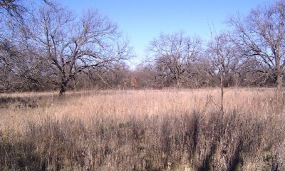
The Mixed-grass Prairie Community is the interpretative plant community for the Clayey Bottomland Ecological Site. It is an open prairie dominated by mid and shortgrasses with scattered elm and hackberry. The plant community provides good ground cover and protection from erosion during infrequent flooding events. Vine mesquite, white tridens, sideoats grama and Arizona cottontop are the dominant midgrasses throughout. Forbs include coreopsis, western ragweed, heath aster, Engelmann’s daisy, and annual forbs. Shrubs and vines are scarce but include fire resistant species. Mesquite may be present but kept as scattered multi-stemmed shrubs by repeated wildfires. The Mixed-grass Prairie Community produced 3000 to 6000 pounds per acre.
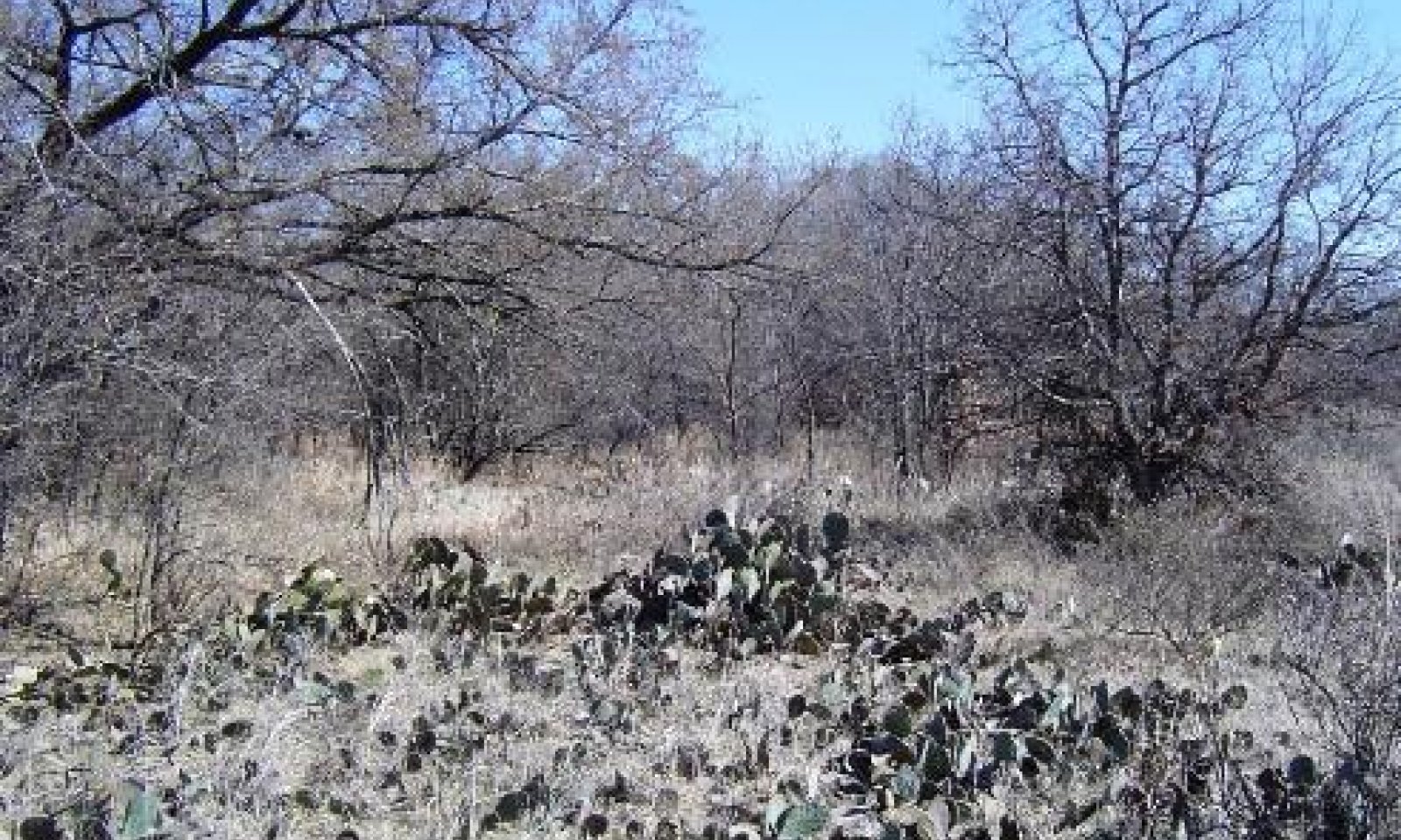
The Shortgrass Prairie Community (1.2) is a shortgrass dominated prairie community being invaded by woody species. Woody species, especially pricklypear and mesquite, increase. The more palatable midgrasses and climax forbs begin to be replaced by less palatable or more grazing tolerant species. Texas wintergrass and buffalograss become dominant. Sideoats grama, white tridens, alkali sacaton, vine mesquite, and Arizona cottontop persist but are reduced in the composition of this vegetation type. Most of the perennial forbs remain in this plant community, although in lesser amounts. The encroaching woody species are generally less than four feet tall and the woody canopy varies between ten and twenty percent. Typically, mesquite, elm, hackberry, pricklypear, lotebush, tasajillo and bumelia were early and persistent encroaching woody species. Annual forage production is reduced, ranging from 2000 to 5000 pounds per acre.
Submodel
Description
The Shortgrass/Mixed-brush Community (2.1) is characterized by a mixed mesquite, elm, hackberry and pecan overstory and a shortgrass herbaceous layer with a considerable cool-season component. All, but the more palatable woody species, have increased in size and density. Remnants of reference community grasses and forbs and less palatable species such as meadow dropseed, threeawn, silver bluestem, white tridens, buffalograss, fall witchgrass, halls panicum and annuals occur in the woody plant interspaces. Texas wintergrass and Virginia wildrye are persistent under and around woody plants where shading occurs. Japanese brome and rescue grass are often abundant during wet winters. Annual production ranges from approximately 2500 to 5500 pounds per acre. However, as much as forty percent of the production is made up of shrubs, vines and trees which may be out of livestock reach.
The Mixed-brush/Shortgrass Woodland Community (2.2) is composed of common invaders such as mesquite and sometimes redberry juniper. Oaks, hackberry, elm, willow, western soapberry and pecan can form mixed specie woodlands along and away from stream edges. Trees and shrubs can reach 70 percent or more woody plant cover. Cool-season grasses, shortgrasses and low quality annual and perennial forbs occupy the woody plant interspaces. Grasses and forbs make up less than 30 percent of the annual production. Cool-season annuals such as filaree, little barley, rescue grass, Japanese brome can be abundant during wet winters and springs. Annual production ranges from 2500 to 5500 pounds per acre.
Submodel
Description
The Converted Land Community has been cultivated for cropland or pastureland purposes. Small grain or forage sorghum may be cropped. Permanent native and introduce pasture may also be planted. Sometimes the community may be abandoned and let “go back” to native species encroached by woody species.
Submodel
Mechanism
Due to heavy continuous grazing, no brush management, and no fires to keep the brush species in check, the Prairie State will transition into the Woodland State.
Mechanism
The transition to the Converted Land State from the Prairie State occurs when crop cultivation practices, plowing, range planting, pasture planting, pest management, and nutrient management are applied to cropland, pastureland or go back land.
Mechanism
Major high cost and high energy, accelerating practices are required to restore the Woodland State back to the Prairie State. Generally, herbicidal brush management practices such as aerial spraying and/or individual plant treatments (IPT) along with other restoration practices such as range planting, grazing deferment, prescribed grazing and prescribed burning are necessary for the ecological site to return to the reference plant community.
Relevant conservation practices
| Practice | External resources |
|---|---|
|
Brush Management |
|
|
Prescribed Burning |
|
|
Range Planting |
|
|
Prescribed Grazing |
Mechanism
The transition to the Converted Land State from the Woodland State occurs when crop cultivation practices, plowing, range planting, pasture planting, pest management, and nutrient management are applied to cropland, pastureland or go back land.
Model keys
Briefcase
Add ecological sites and Major Land Resource Areas to your briefcase by clicking on the briefcase (![]() ) icon wherever it occurs. Drag and drop items to reorder. Cookies are used to store briefcase items between browsing sessions. Because of this, the number of items that can be added to your briefcase is limited, and briefcase items added on one device and browser cannot be accessed from another device or browser. Users who do not wish to place cookies on their devices should not use the briefcase tool. Briefcase cookies serve no other purpose than described here and are deleted whenever browsing history is cleared.
) icon wherever it occurs. Drag and drop items to reorder. Cookies are used to store briefcase items between browsing sessions. Because of this, the number of items that can be added to your briefcase is limited, and briefcase items added on one device and browser cannot be accessed from another device or browser. Users who do not wish to place cookies on their devices should not use the briefcase tool. Briefcase cookies serve no other purpose than described here and are deleted whenever browsing history is cleared.
Ecological sites
Major Land Resource Areas
The Ecosystem Dynamics Interpretive Tool is an information system framework developed by the USDA-ARS Jornada Experimental Range, USDA Natural Resources Conservation Service, and New Mexico State University.


