Deep Redland 26-33" PZ
Scenario model
Current ecosystem state
Select a state
Management practices/drivers
Select a transition or restoration pathway
- Transition T1A More details
- Transition T1B More details
- Restoration pathway R2A More details
- Transition T2A More details
- Transition T3A More details
- Restoration pathway R4A More details
-
No transition or restoration pathway between the selected states has been described
Target ecosystem state
Select a state
State 1
Oak Savannah State - Reference


Description
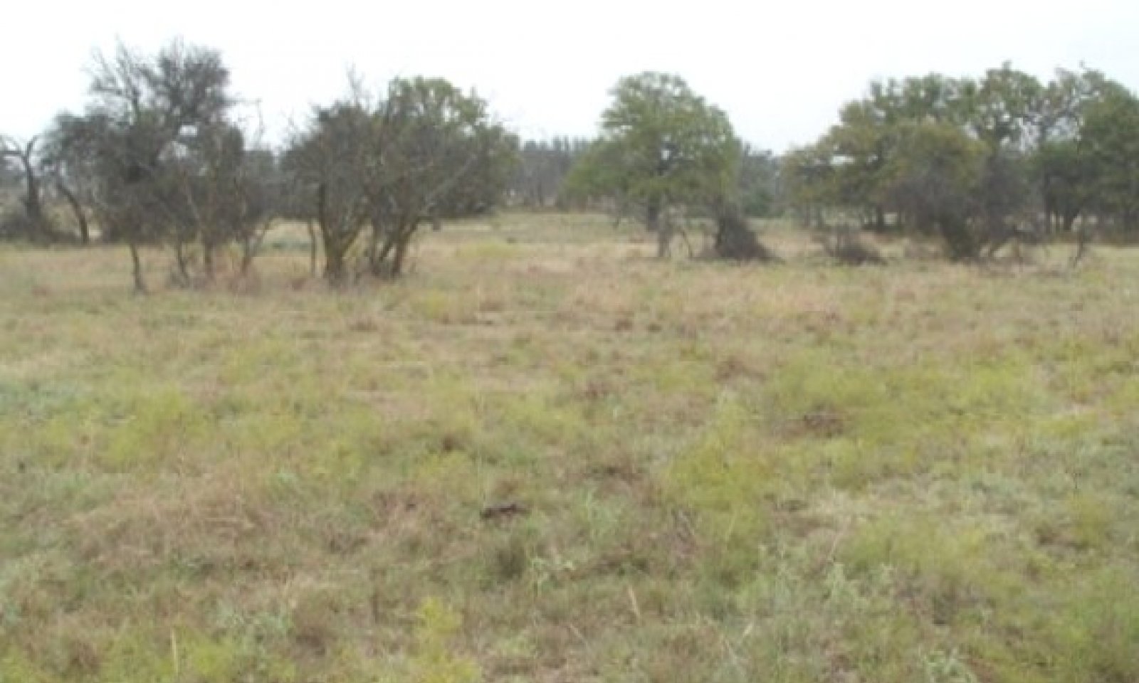
The Reference Plant Community for the Deep Redland Ecological Site is a tall and midgrass savannah community. The dominant tallgrasses are big and little bluestem, Indiangrass, and switchgrass. Midgrasses include sideoats grama, tall dropseed, cane and silver bluestem, and vine-mesquite. Cool-season grasses include Texas wintergrass, Canada wildrye, and Texas bluegrass. The site has numerous forbs associated with it. Annual production ranges from 3000 to 6000 pounds per acre.
The Midgrass Savannah Community occurs when the continuous overgrazing pressure caused the tallgrasses to be selected out of the plant community, giving rise to the increase of the midgrasses. This can still be managed back to community 1.1 by applying sound grazing management practices through a prescribed grazing plan. Tree canopy approaches 20%. Annual production ranges from 2500 to 4500 pounds per acre.
The Midgrass/Shrub Savannah Community occurs as the manager controlled the natural fires, removed the prairie dog from the site, and mismanaged the grazing. Ashe juniper and mesquite invaded the site and the tallgrasses were reduced and replaced by the expansion of the midgrasses. Canopy of trees now approaches 30%. Annual production ranges from 1500 to 4500 pounds per acre.
Submodel
State 2
Juniper/Mesquite Woodland State


Description
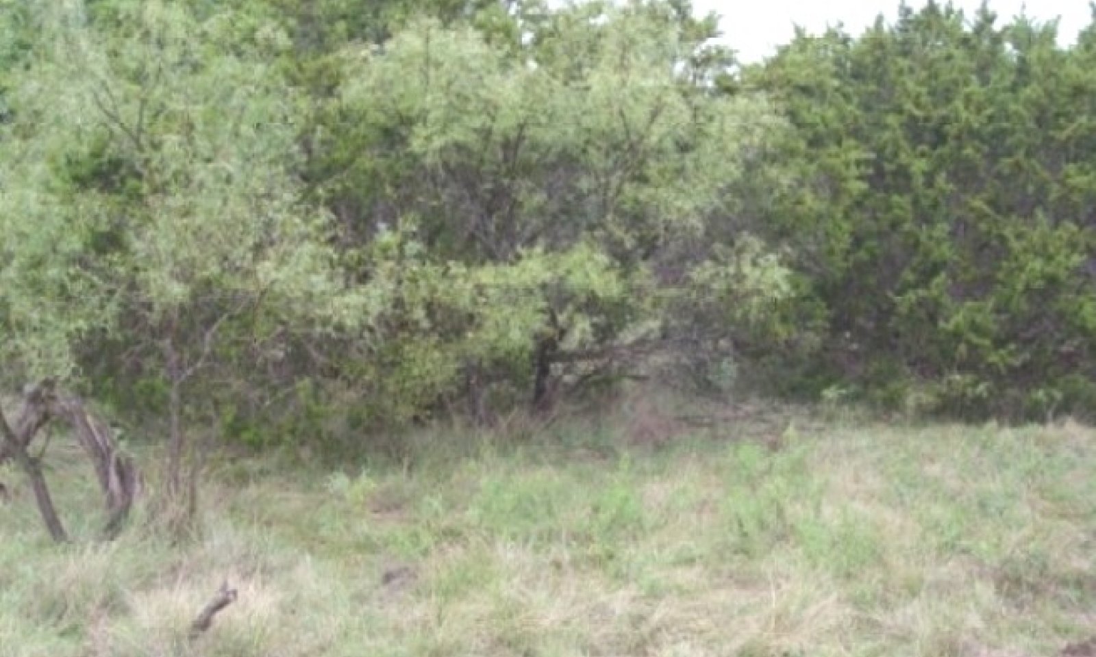
If the manager does not control the spread of Ashe juniper and mesquite, they will grow beyond the size that fire will control. Cedar and mesquite now encompass greater than 30 percent canopy with trees over six feet tall. When this occurs, a new steady state has been entered. It will take some form of energy such as mechanical or herbicides to reduce the canopy of the Ashe juniper and mesquite if so desired. This plant community is the Juniper/Mesquite/Mixed-grass Community. Annual production ranges from 1500 to 3500 pounds per acre.
This new community is now Juniper/Mesquite/Cool-season Community (2.2). The midgrasses will start to die out due to the selective overgrazing and the increase in shade. The shorter and shade tolerant grasses such as Texas wintergrass, buffalograss, and forbs will dominate the understory along with the shade tolerant shrubs. Prescribed burning will help to reduce the canopy, but will not normally remove the Ashe juniper and mesquite from the site. Annual production ranges from 1250 to 3000 pounds per acre.
As denser canopy of Ashe juniper, mesquite, persimmon and lotebush developed, this new plant community is now the Juniper/Mesquite/40% Canopy Community (2.3). Forbs such as annual broomweed, western ragweed, prairie coneflower, horehound, eryngo and snow-on-the- mountain increase or invade the site. Annual grasses such as little barley, rescue grass, and Japanese brome increase rapidly on the site, as the mid and short grasses are almost gone, leaving much bare ground that is open to cool-season annual grass germination. Annual production ranges from 500 to 2500 pounds per acre.
Submodel
Description
Due to the natural fertility and excellent water holding capacity of these soils, much of this Ecological site is managed as cropland.
There are other plant communities in the cultivated state where range planting of native plants can be used to manage toward the Converted Land Community. Each of these steady states has lost the seed source of the native plants that inhabited the site as they were destroyed by farming. The Abandoned or Go Back Land will have some of the native plants back, but will need to be seeded in most instances to establish plants such as big bluestem, Indiangrass, switchgrass, little bluestem and sideoats gama.
Submodel
Description
The Mesquite/Juniper/Introduced Grasses Community is created when the Ashe juniper, mesquite and persimmon are not managed prior to the time they reach 6 feet in height as well as introduced grass encroachment; a new steady state has been established. Fire will not control these plants, so if the manager desires to manage the woody species, they must use mechanical means or herbicides combined with prescribed burning.
Submodel
Mechanism
With heavy continuous grazing, no fires, and prairie dog removal, the Oak Savannah State will transition into the Juniper/Mesquite Woodland State.
Mechanism
With Plow, Crop Cultivation, Range Planting, Pasture Planting, Idle, and Abandonment, the Oak Savannah State transitions into the Converted Land State.
Restoration pathway R2A


Mechanism
With Prescribed Grazing, Prescribed Burning, Brush Management and Range Planting, the Juniper/Mesquite Woodland State will be restored back into the Oak Savannah State.
Relevant conservation practices
| Practice | External resources |
|---|---|
|
Brush Management |
|
|
Prescribed Burning |
|
|
Prescribed Grazing |
|
|
Range Planting |
Mechanism
With Prescribed Grazing, Brush Management, Pasture Planting, Crop Cultivation, the Juniper/Mesquite Woodland State will transition into the Converted Land State.
Mechanism
With heavy continuous grazing, no fires and no brush management, the Converted Land State will transition into the Woodland State.
Model keys
Briefcase
Add ecological sites and Major Land Resource Areas to your briefcase by clicking on the briefcase (![]() ) icon wherever it occurs. Drag and drop items to reorder. Cookies are used to store briefcase items between browsing sessions. Because of this, the number of items that can be added to your briefcase is limited, and briefcase items added on one device and browser cannot be accessed from another device or browser. Users who do not wish to place cookies on their devices should not use the briefcase tool. Briefcase cookies serve no other purpose than described here and are deleted whenever browsing history is cleared.
) icon wherever it occurs. Drag and drop items to reorder. Cookies are used to store briefcase items between browsing sessions. Because of this, the number of items that can be added to your briefcase is limited, and briefcase items added on one device and browser cannot be accessed from another device or browser. Users who do not wish to place cookies on their devices should not use the briefcase tool. Briefcase cookies serve no other purpose than described here and are deleted whenever browsing history is cleared.
Ecological sites
Major Land Resource Areas
The Ecosystem Dynamics Interpretive Tool is an information system framework developed by the USDA-ARS Jornada Experimental Range, USDA Natural Resources Conservation Service, and New Mexico State University.

