Shallow Clay 26-33" PZ
Scenario model
Current ecosystem state
Select a state
Management practices/drivers
Select a transition or restoration pathway
- Transition T1A More details
- Restoration pathway R2A More details
- Transition T2A More details
- Transition T2B More details
-
No transition or restoration pathway between the selected states has been described
Target ecosystem state
Select a state
State 1
Midgrass Prairie State - Reference


Description
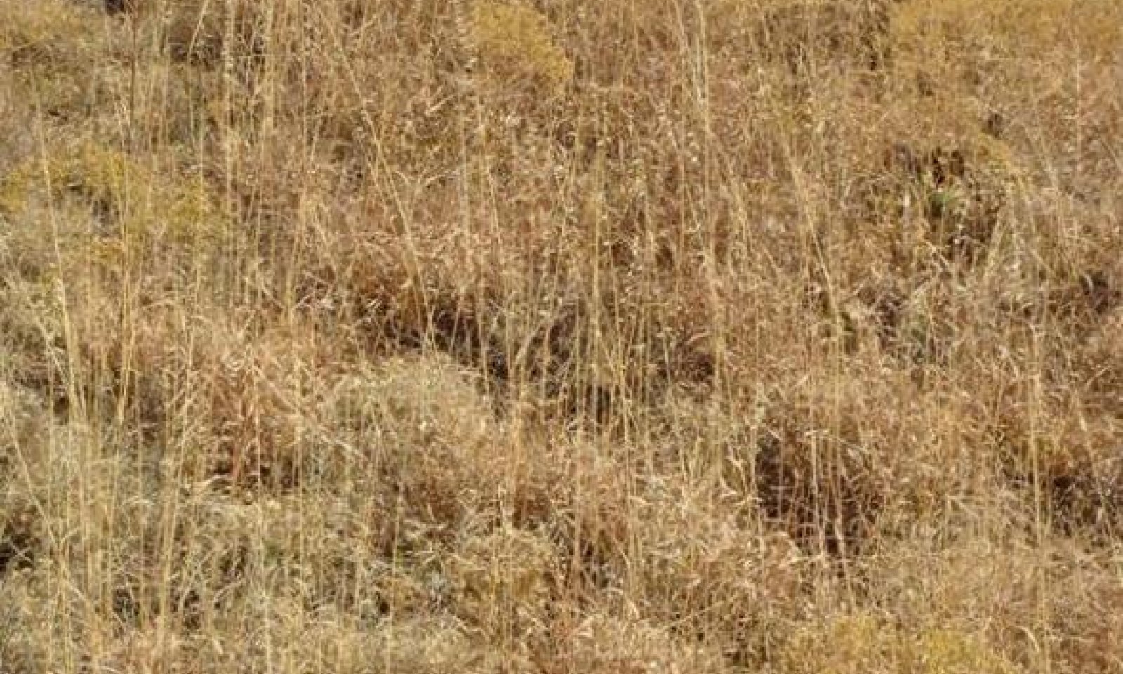
The reference plant community for the Shallow Clay ecological site is a Mid/Shortgrass Prairie Communtiy. In pristine conditions, the site is dominated by midgrasses. Buffalograss, curlymesquite, and hairy grama are sub-dominant shortgrasses. Blue grama is a minor, but significant, part of the historic shortgrass component on this site. Perennial forbs are scattered across the site. Shrubs are a minor component of the plant community. Annual production ranges from 1000 to 2800 pounds per acre.
In the Short/Midgrass Community, sideoats grama declines and shortgrasses such as buffalograss and curlymesquite, dominate the site. More annual grasses and forbs begin to appear on the site. Mesquite, lotebush, pricklypear, and tasajillo begin to invade from adjacent sites and the shrub canopy begins to gradually increase. Annual production ranges from 900 to 2500 pounds per acre.
Submodel
Description
The Shortgrass/Forb/Shrub Community is composed of perennial shortgrasses, including buffalograss, curlymesquite, and threeawns which dominate the site along with annual forbs and grasses. Invading shrubs increase in density and canopy. A few individual plants of sideoats grama and Arizona cottontop remain in isolated areas. Annual production ranges from 800 to 1400 pounds per acre.
Submodel
Description
In the Annuals/Bare Ground Community, annual forbs such as broomweed are abundant. Stunted mesquite, lotebush, and pricklypear are scattered across the site. In the lowest stages of degradation, there is a significant amount of bare ground, and scalded areas are obvious. Annual production ranges from 500 to 800 pounds per acre.
Submodel
Description
Hundreds of thousands of acres have been plowed up and converted to cropland, pastureland, or hayland. This community is known as the Converted Land Community. Wheat is the primary annual crop. Bermudagrass is the primary introduced pasture species used in this area.
Abandoned croplands and reseeded areas tend to revert back to a more natural state through the process of secondary succession. This is a very slow process that takes decades or centuries to evolve, dependent on the status of the area at the time it is abandoned. The first plants to establish are “pioneer plants” (annual forbs and grasses followed by early successional shortgrasses and midgrasses). This community is known as the Abandoned Land Community.
Submodel
Mechanism
With abusive grazing, no fires, and no brush management practices, the Midgrass Prairie State will transition into the Shortgrass Prairie State.
Mechanism
The Shortgrass Prairie State can be restored to the Midgrass Prairie State with the use of various conservation practices including but not limited to Prescribed Grazing, Prescribed Burning, Brush Management, and Range Planting.
Relevant conservation practices
| Practice | External resources |
|---|---|
|
Brush Management |
|
|
Prescribed Burning |
|
|
Prescribed Grazing |
|
|
Range Planting |
Mechanism
With the continuation of abusive grazing pressure, no fires and no brush management practices, the Shortgrass Prairie State will transition into the Annuals/Bare Ground State.
Model keys
Briefcase
Add ecological sites and Major Land Resource Areas to your briefcase by clicking on the briefcase (![]() ) icon wherever it occurs. Drag and drop items to reorder. Cookies are used to store briefcase items between browsing sessions. Because of this, the number of items that can be added to your briefcase is limited, and briefcase items added on one device and browser cannot be accessed from another device or browser. Users who do not wish to place cookies on their devices should not use the briefcase tool. Briefcase cookies serve no other purpose than described here and are deleted whenever browsing history is cleared.
) icon wherever it occurs. Drag and drop items to reorder. Cookies are used to store briefcase items between browsing sessions. Because of this, the number of items that can be added to your briefcase is limited, and briefcase items added on one device and browser cannot be accessed from another device or browser. Users who do not wish to place cookies on their devices should not use the briefcase tool. Briefcase cookies serve no other purpose than described here and are deleted whenever browsing history is cleared.
Ecological sites
Major Land Resource Areas
The Ecosystem Dynamics Interpretive Tool is an information system framework developed by the USDA-ARS Jornada Experimental Range, USDA Natural Resources Conservation Service, and New Mexico State University.


