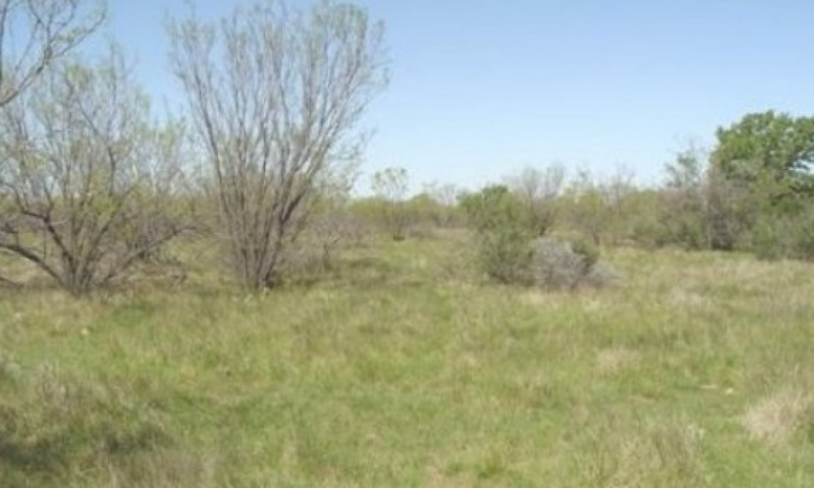
Tight Sandy Loam 26-33" PZ
Scenario model
Current ecosystem state
Select a state
Management practices/drivers
Select a transition or restoration pathway
- Transition T1A More details
- Restoration pathway R2A More details
- Transition T2A More details
- Transition T3A More details
- Restoration pathway R4A More details
-
No transition or restoration pathway between the selected states has been described
Target ecosystem state
Select a state
Description
This community represents the reference plant community for the Tight Sandy Loam Ecological Site. The plant community is a post oak savannah with midgrasses, forbs and shrubs. The dominant grass is sideoats grama with Arizona cottontop, vine-mesquite, cane and silver bluestem and Texas wintergrass. As a group, the midgrasses comprise approximately 70 percent of all the annual production. The site has numerous forbs associated with it. The shrubs were re-sprouting types that could respond to the fire. Fire being natural to the site kept the woody plants in check and prevented their spread on the site. Total annual production ranges from 2000 to 4000 pounds per acre.
Submodel
State 2
Shrubland State


Description
The Mesquite Dominant Community occurs with the removal of fire from the ecosystem, the eradication of the prairie dog, the introduction of fencing, and the constant overstocking of the rangeland. The midgrasses gave way to the shortgrasses and weedy forbs, and the site was invaded by mesquite, prickly pear, and tasajillo. The shrubs native to the site were released to spread untouched by fire and prairie dog. So a mixed midgrass/shortgrass shrubland developed along with scattered post oak throughout. After the mesquite grew to a height of approximately 6 feet, fire would no longer effectively control it. Annual production ranges from 1000 to 3000 pounds per acre.
Continuous overgrazing, mesquite, prickly pear, tasajillo, lotebush and associated shrub species continue to increase in canopy and stature giving rise to the Mesquite/Bare Ground Community. They grow to dominate the site above ground and below. The woody species use practically all of the moisture, nutrients, and sunlight. Cool-season annual grasses and forbs such as little barley, rescuegrass, and filaree grow in the cool season when the woody plants have no leaves and do not compete for the sunlight and moisture as they do in the warm season. Annual production ranges from 250 to 1000 pounds per acre.
Submodel
Description
This site was cultivated into cool-season small grain cropland. There are other plant communities in the cultivated state where range planting of native plants can be used to manage toward the Converted Land Community. Each of these steady states has lost the seed source of the native plants that inhabited the site as they were destroyed by farming. The Abandoned or Go Back Land will have some of the native plants back, but will need to be seeded in most instances to establish plants such as big bluestem, Indiangrass, switchgrass, little bluestem and sideoats grama.
Submodel
Description
If the introduced grasses steady state is not managed to control the invasion of mesquite and associated prickly pear and tasajillo, they will invade the site and impact the plant community composition and production. The woody species can produce up to 30 percent of the annual production with forbs making up about 20 percent. This leaves only 50 percent of the production being grass. Annual Production ranges from 750 to 3000 pounds per acre.
Submodel
Mechanism
With heavy continuous grazing, no fires, and prairie dog removal, the Savannah State will transition into the Shrubland State.
Mechanism
With the implementation of Prescribed Grazing, Brush Management, Range Planting, and Prescribed Burning conservation practices, the Shrubland State can be restored into the Savannah State.
Relevant conservation practices
| Practice | External resources |
|---|---|
|
Brush Management |
|
|
Prescribed Burning |
|
|
Prescribed Grazing |
|
|
Range Planting |
Mechanism
With the use of Prescribed Grazing, Brush Management, Range Planting, Pasture Planting, and Crop Cultivation conservation practices, the Shrubland State can transition into the Converted Land State.
Mechanism
With heavy continuous grazing, no fires and no brush management, the Converted Land State will transition into the Woodland State.
Model keys
Briefcase
Add ecological sites and Major Land Resource Areas to your briefcase by clicking on the briefcase (![]() ) icon wherever it occurs. Drag and drop items to reorder. Cookies are used to store briefcase items between browsing sessions. Because of this, the number of items that can be added to your briefcase is limited, and briefcase items added on one device and browser cannot be accessed from another device or browser. Users who do not wish to place cookies on their devices should not use the briefcase tool. Briefcase cookies serve no other purpose than described here and are deleted whenever browsing history is cleared.
) icon wherever it occurs. Drag and drop items to reorder. Cookies are used to store briefcase items between browsing sessions. Because of this, the number of items that can be added to your briefcase is limited, and briefcase items added on one device and browser cannot be accessed from another device or browser. Users who do not wish to place cookies on their devices should not use the briefcase tool. Briefcase cookies serve no other purpose than described here and are deleted whenever browsing history is cleared.
Ecological sites
Major Land Resource Areas
The Ecosystem Dynamics Interpretive Tool is an information system framework developed by the USDA-ARS Jornada Experimental Range, USDA Natural Resources Conservation Service, and New Mexico State University.
