Description
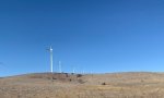
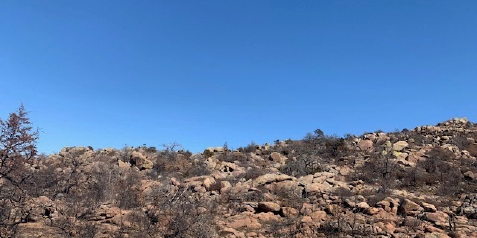
This area is entirely in southwestern Oklahoma. It makes up about 1,060 square miles. The towns of Granite, Snyder, Medicine Park and Meers are in this MLRA. U.S. Highways 62 and 183 intersect in the area, and Interstate 44 crosses the far eastern end. Quartz Mountain State Park, the Wichita Mountains Wildlife Refuge and the Fort Sill Military Reservation are in this area. The surface geology of this MLRA is dominated by intrusive igneous rocks (primarily granite) of Precambrian age with associated limestone, sandstone, dolomite, chert, and shale of Cambrian age. This area is underlain by both igneous and sedimentary rocks in a structurally complex setting. Igneous rocks primarily include granite, rhyolite, gabbro, and anorthosite of Precambrian age. Sedimentary rocks include limestone, sandstone, dolomite, and chert. A large outcrop known as the “Limestone Hills” is part of this unit. The Meers Fault is a prominent geologic feature in this area.
Key publications
Next steps
-
1
Select an ecological site
Select an ecological site using the list, keys, photos, briefcase, or quick search option located on this page. -
2
Explore the ecological site description
Next, learn more about the selected ecological site and its characteristic dynamics by browsing the ecological site description and exploring alternative state and transition model formats.