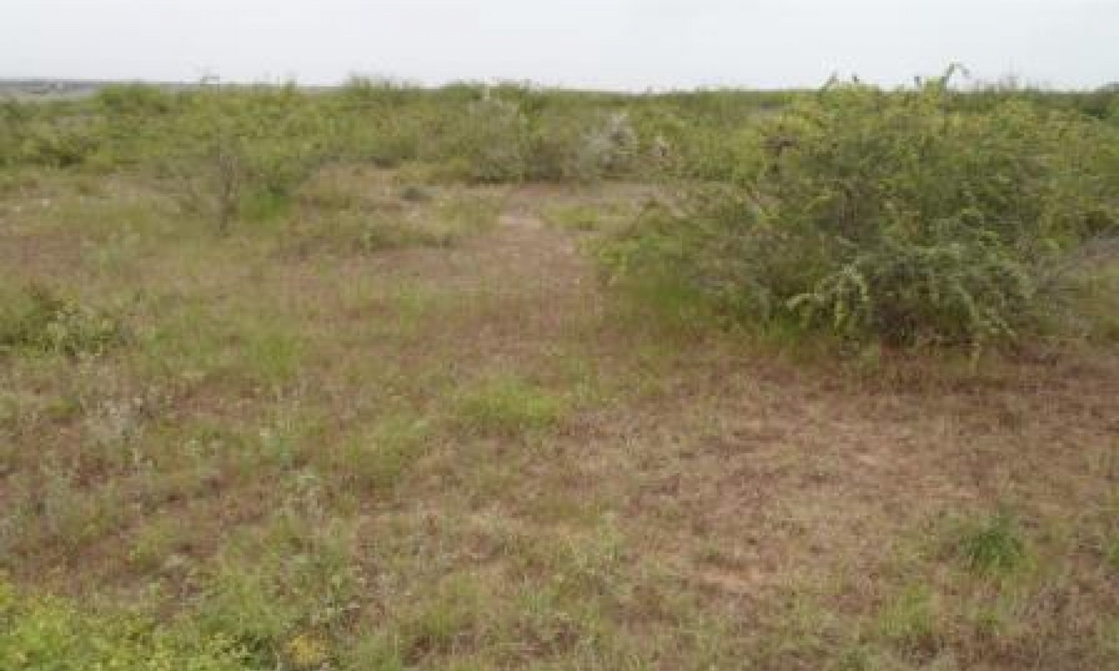
Shallow Ridge
Scenario model
Current ecosystem state
Select a state
Management practices/drivers
Select a transition or restoration pathway
-
Transition T1A
Absence of disturbance and natural regeneration over time, may be coupled with excessive grazing and prolonged drought conditions
More details -
Transition T1B
Extensive soil disturbance followed by seeding improved forage species
More details -
Restoration pathway R2A
Reintroduction of historic disturbance return intervals
More details -
Transition T2A
Extensive soil disturbance followed by seeding improved forage species
More details -
Transition T3A
Absence of disturbance and natural regeneration over time, coupled with excessive grazing pressure
More details -
No transition or restoration pathway between the selected states has been described
Target ecosystem state
Select a state
Mechanism
The transition from the Grassland State (1) to the Chaparral Shrubland State (2) can happen within five years. This transition can be driven by persistently dry weather conditions, grazing management, lack of fire, and brush management practices. Overstocking the site with grazing animals will put pressure on the herbaceous plant component of the community. Increased bare ground becomes a large problem affecting the hydrologic cycle. As herbaceous ground cover decreases, runoff and evaporation during rainfall events will increase, causing less water to infiltrate into the soil to become available for plant use. If the woody component is not managed it will begin to dominate the landscape and out-compete grasses and forbs for water, sunlight, and other resources.
Mechanism
Land managers may want to utilize this site as pastureland. To achieve this transition from the Grassland State (1), brush management and heavy disking with a Rhome disk, or other heavy implement, will be necessary to incorporate the vegetation into the soil. Prescribed burning can also be used prior to the disking operation to eliminate excessive vegetation. After the land has been cleared and an appropriate seedbed prepared, the pasture can be planted.
Mechanism
Major inputs, both chemical and mechanical, are often required to restore the Chaparral Shrubland State (2) to the Grassland State (1). Often with this community a mechanical means such as Rhome disking is used. Most of the mixed brush species re-sprout if not removed completely from the ground. Chaining and rollerchopping are mechanical practices which will be short-lived and will typically result in thicker, harder to manage brush stands and will encourage brush seedlings. Follow-up conservation practices such as Individual Plant Treatment for woody re-growth and new seedlings, and prescribed grazing will be necessary for several years after the initial brush management to maintain a stable herbaceous plant community. Depending on local conditions, it may also be necessary to prepare an appropriate seedbed and re-introduce a seed source for desired native plant species through range planting.
Mechanism
Land managers may want to utilize this site as pastureland. To achieve this transition, practices such as Rhome disking will be necessary. After the land has been cleared and an appropriate seedbed prepared, the pasture can be planted.
Mechanism
If the Go Back Land Community (3.2) is left alone, eventually the woody plants will create a moderate to heavy canopy. At this point, the desired understory grasses, forbs, and/or crops will be shaded out and the site will transition into a Chaparral Shrubland (2).
Model keys
Briefcase
Add ecological sites and Major Land Resource Areas to your briefcase by clicking on the briefcase (![]() ) icon wherever it occurs. Drag and drop items to reorder. Cookies are used to store briefcase items between browsing sessions. Because of this, the number of items that can be added to your briefcase is limited, and briefcase items added on one device and browser cannot be accessed from another device or browser. Users who do not wish to place cookies on their devices should not use the briefcase tool. Briefcase cookies serve no other purpose than described here and are deleted whenever browsing history is cleared.
) icon wherever it occurs. Drag and drop items to reorder. Cookies are used to store briefcase items between browsing sessions. Because of this, the number of items that can be added to your briefcase is limited, and briefcase items added on one device and browser cannot be accessed from another device or browser. Users who do not wish to place cookies on their devices should not use the briefcase tool. Briefcase cookies serve no other purpose than described here and are deleted whenever browsing history is cleared.
Ecological sites
Major Land Resource Areas
The Ecosystem Dynamics Interpretive Tool is an information system framework developed by the USDA-ARS Jornada Experimental Range, USDA Natural Resources Conservation Service, and New Mexico State University.


