Claypan 29-33" PZ
Scenario model
Current ecosystem state
Select a state
Management practices/drivers
Select a transition or restoration pathway
- Transition T1A More details
- Restoration pathway R2A More details
- Transition T2A More details
-
No transition or restoration pathway between the selected states has been described
Target ecosystem state
Select a state
Description
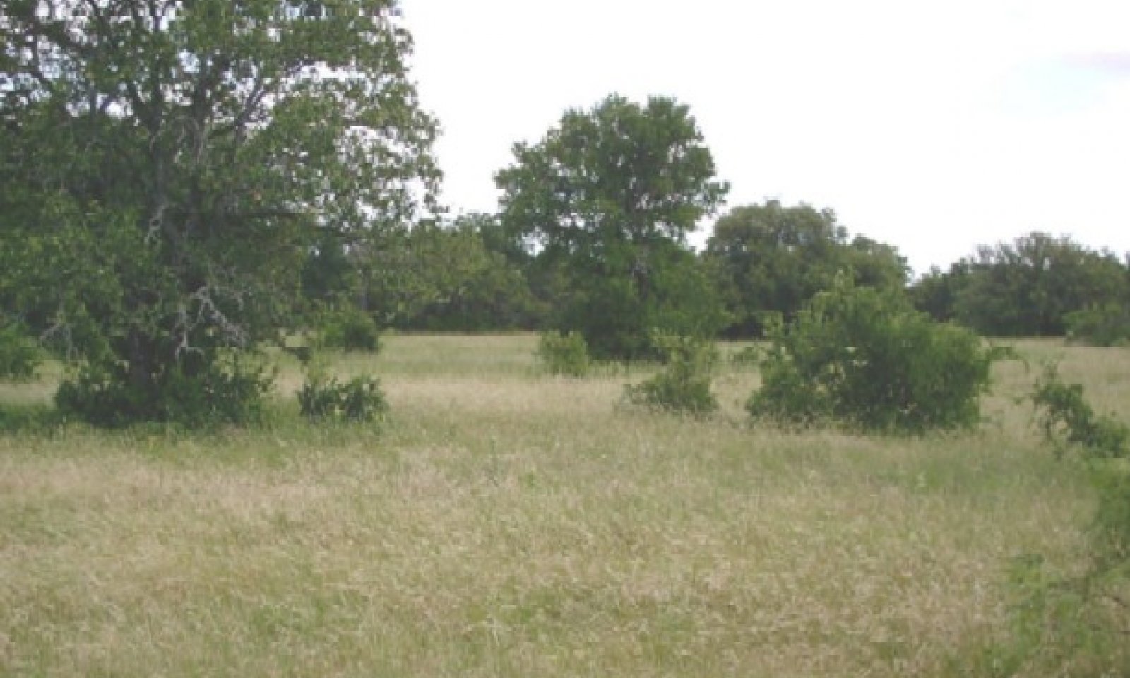
The interpretive plant community for this site is the reference plant community 1.1. This site is a midgrass prairie. The community is dominated by warm-season perennial grasses. The major perennial grass species are well dispersed through the community. Perennial forbs and shrubs are well represented throughout the community. Annual production ranges from 1500 to 3500 pounds per acre and 90% of production consisted of grasses and grasslikes and less than 5% trees/shrubs.
In the Mid/Shortgrass Community, the more palatable plants such as sideoats grama decrease and the less palatable grasses such as Texas wintergrass increase. Invader brush species such as mesquite, juniper, cactus, and etc. appears. Annual production ranges from 1500 to 3500 pounds per acre and grasses only compose of 75% of species composition and trees/shrubs make up 10%.
Submodel
State 2
Shrubland State


Description
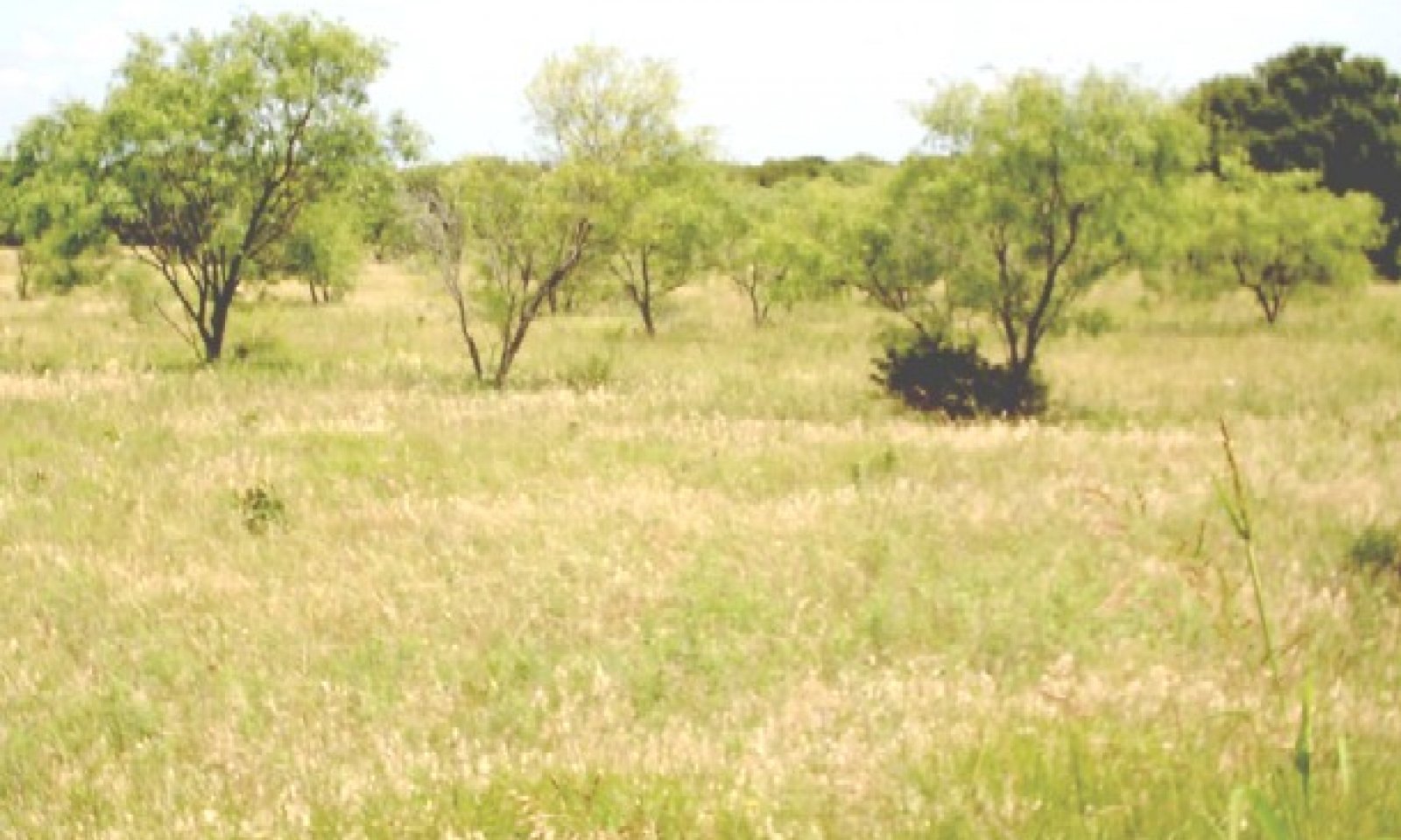
This transition state consists of 10 to 40% canopy of woody plants primarily mesquite. As the shrubland community ages, oak matures and the invader species increase. Palatable warm-season perennial grasses have all but disappeared. Three-awns are beginning to dominate the grasses. Annual production ranges from 1500 to 3500 pounds per acre with 60% grasses and 20% trees.
The Mesquite Dominant Community is mesquite dominated (greater than 40% canopy). Other species present are pricklypear cactus and tasajillo. The herbaceous understory is primarily Texas wintergrass, threeawns and annuals. Due to the presence of shade the amount of grass cover is greatly reduced which in turn reduces forage production from the historic state. Annual production ranges from 1500 to 3500 pounds per acre and grasses make up 30% species composition while trees/shrubs make up 45%.
Submodel
Description
Conversion of the midgrass prairie to cropland (mainly for cotton production) occurred from first settlement by European settlers during the middle 1800’s and continued until early 1900’s. Some remains in cropland today. The early cropping with little regard for erosion control leads to severe erosion by water. Erosion changes fertility, soil structure and moisture holding capacity of the soil. Refer to cropland capability classes for production potentials and limitations. This site is often planted to introduced grasses following crop production or brush control. These grasses are planted mostly for livestock grazing and some hay production. Typical species planted include bermudagrass varieties and yellow bluestems. Many of these species are invasive and once established they are difficult to remove and hinders the establishment of native species.
With continued absence of added fertility the Three-awn/Invasive Brush community will continue change toward a brushy condition. The shrubs will continue to thicken especially mesquite and as the brush ages the historic hardwoods start to appear. The grass changes toward more perennials, where the fertility is especially low. At this state the introduced grasses have almost disappeared. Annual production ranges from 3500 to 4600 pounds per acre.
Submodel
Mechanism
The Midgrass State will transition to the Shrubland State due to continued heavy grazing pressure, no fire, and idled land.
Mechanism
With Prescribed Grazing, Brush Management, Range Planting, and Prescribed Burning conservation practices, the Shrubland State can be reverted to the Midgrass State.
Relevant conservation practices
| Practice | External resources |
|---|---|
|
Brush Management |
|
|
Prescribed Burning |
|
|
Prescribed Grazing |
|
|
Range Planting |
Mechanism
The Shrubland State will transition into the Converted Land State with the use of various conservation practices including Pasture & Hay Planting, Crop Cultivation, Pest Management, Nutrient Management, Prescribed Grazing, Brush Management, and Range Planting.
Model keys
Briefcase
Add ecological sites and Major Land Resource Areas to your briefcase by clicking on the briefcase (![]() ) icon wherever it occurs. Drag and drop items to reorder. Cookies are used to store briefcase items between browsing sessions. Because of this, the number of items that can be added to your briefcase is limited, and briefcase items added on one device and browser cannot be accessed from another device or browser. Users who do not wish to place cookies on their devices should not use the briefcase tool. Briefcase cookies serve no other purpose than described here and are deleted whenever browsing history is cleared.
) icon wherever it occurs. Drag and drop items to reorder. Cookies are used to store briefcase items between browsing sessions. Because of this, the number of items that can be added to your briefcase is limited, and briefcase items added on one device and browser cannot be accessed from another device or browser. Users who do not wish to place cookies on their devices should not use the briefcase tool. Briefcase cookies serve no other purpose than described here and are deleted whenever browsing history is cleared.
Ecological sites
Major Land Resource Areas
The Ecosystem Dynamics Interpretive Tool is an information system framework developed by the USDA-ARS Jornada Experimental Range, USDA Natural Resources Conservation Service, and New Mexico State University.


