Sandy Bottomland 29-33" PZ
Scenario model
Current ecosystem state
Select a state
Management practices/drivers
Select a transition or restoration pathway
- Transition T1A More details
- Transition T1B More details
- Restoration pathway R2A More details
- Transition T2A More details
- Restoration pathway R3A More details
-
No transition or restoration pathway between the selected states has been described
Target ecosystem state
Select a state
State 1
Tallgrass Floodplain State - Reference


Description
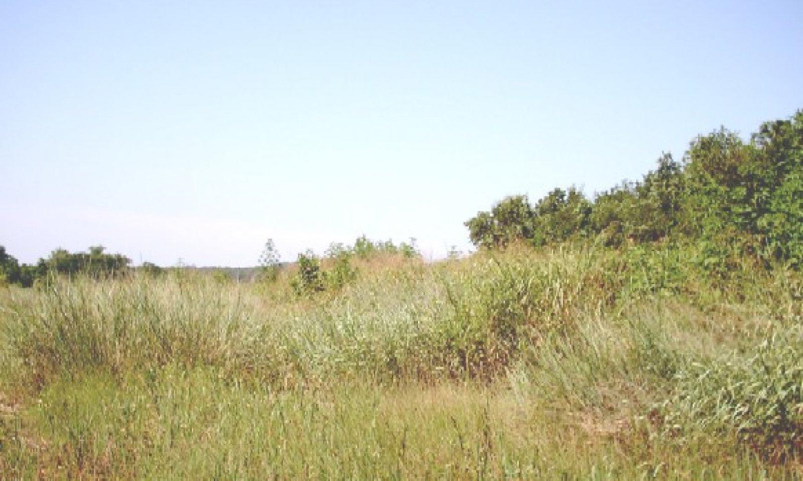
The interpretive plant community for this site is plant community 1.1. The community is dominated by warm-season perennial tallgrasses with cottonwood, elm and willow. The major perennial grass species are well dispersed through the community. Perennial forbs and shrubs are well represented throughout the community. This plant community evolved with a short duration of heavy use by large herbivores followed by long rest periods due to herd migration along with occasional fire. Annual production ranges from 4000 to 6000 pounds per acre. Grasses make up 85% of species composition while trees/shrubs make up 10% species composition.
The Tallgrass/Shrubland Transition Community occurs when woody species starts regeneration and the tallgrasses will start to disappear from the plant community. Invader brush (juniper, yaupon, etc) appears and becomes established. Texas wintergrass and purpletop tridens increases as brush canopy increases. The plant community consists up to 20 percent canopy of mature trees with an understory canopy of shrubs and young oaks, elm, cottonwood, willow and pecan. Annual production ranges from 4000 to 6000 pounds per acre. Grasses make up 60%, Forbs 10%, and Trees/Shrubs 30%.
Submodel
State 2
Oak Shrubland State


Description
The Hardwood/Shrubland Transition Community (2.1) consists of 50 to 80% canopy of woody plants. As the shrubland community ages, oak, elm and cottonwood matures and the invader species increase. Warm-season perennial tallgrasses such as Indiangrass and switchgrass have all but disappeared. In the early stages of this transition stage little bluestem tends to dominate the grasses; however, as brush canopy continues to increase, Texas wintergrass, three-awns (and annuals continue to increase while the little bluestem decreases. Annual production ranges from 4000 to 6000 pounds per acre. Species composition by functional groups include: Grasses 35%, Forbs 20%, and Trees/Shrubs 45%.
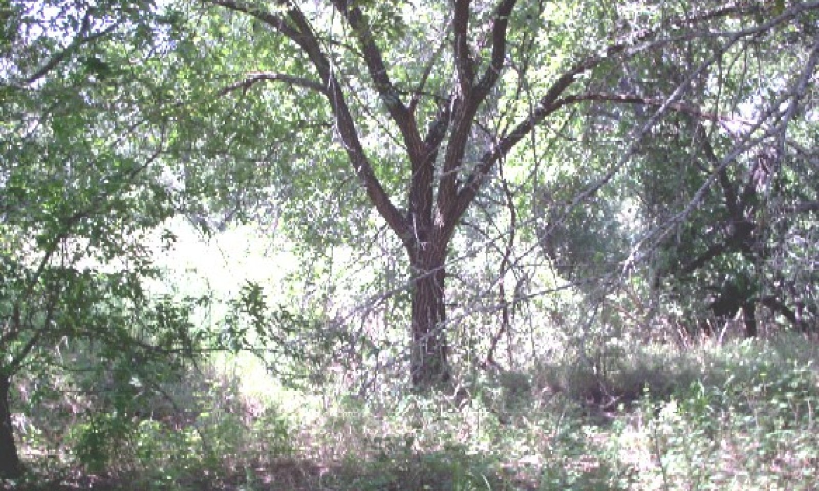
The Hardwood/Woodland Community community is a closed overstory (greater than 80% canopy) woodland dominated by elms, cottonwood, willow and oaks. Understory shrubs and sub-shrubs include yaupon, hawthorns, and American beautyberry (Callicarpa americana). Woody vines are also present and include greenbriars, poisonoak (Toxicodendron spp), Virginia creeper (Parthenocissus quinquefolia) and grapes. The herbaceous understory is almost nonexistent. Shade-tolerant species such as purpletop tridens (Tridens flavus) and Canada wildrye (Elymus canadensis) occur in small amounts. Small isolated clearings will contain little bluestem, perennial three-awns, Texas wintergrass and small amounts of other grasses. Continuous grazing by domestic livestock has accelerated the shift. Annual production ranges from 4000 to 6000 pounds per acre. Function groups are as follows: Grasses 15%, Forbs 20%, and Trees/Shrubs 65%.
Submodel
Description
Conversion of the tallgrass floodplain community (1.1) to cropland (3.1) (mainly for cotton production) occurred from first settlement by European settlers during the middle 1800’s and continued until early 1900’s. Some acres remain in cropland today. The early cropping with little reguard for erosion control leads to severe erosion. Erosion changes fertility, soil structure and moisture holding capacity of the soil. In recent years if cropping is abandoned the land is usually planted to introduced grass and managed as pastureland. Refer to cropland capability classes for production potentials and limitations.
This site is often planted to introduced grasses following crop production or brush control. These grasses are planted mostly for livestock grazing and some hay production. Typical species planted include bermudagrass varieties and yellow bluestems. Many of these species may become invasive and once established they are difficult to remove and hinders the establishment of native species. Refer to pastureland suitability groups for species suitability, production potentials and limitations.
Submodel
Mechanism
With heavy continuous grazing, no fire, and idle land conditions, the Tallgrass Floodplain State will transition into the Oak Shrubland State.
Mechanism
Through cultivation and planting of crops and/or introduced species, this Tallgrass Floodplain State can be transitioned to the Converted Land State.
Mechanism
Prescribed Grazing, Brush Management, Range Planting, and Prescribed Burning are various conservation practices used in order to restore from an Oak/Shrubland State to the Tallgrass Floodplain State.
Relevant conservation practices
| Practice | External resources |
|---|---|
|
Brush Management |
|
|
Prescribed Burning |
|
|
Prescribed Grazing |
|
|
Range Planting |
Mechanism
With the implementation of various conservation practices such as Pasture Planting, Crop Cultivation, Pest Management, and Nutrient Management, the Oak/Shrubland State will transition into the Converted Land State.
Model keys
Briefcase
Add ecological sites and Major Land Resource Areas to your briefcase by clicking on the briefcase (![]() ) icon wherever it occurs. Drag and drop items to reorder. Cookies are used to store briefcase items between browsing sessions. Because of this, the number of items that can be added to your briefcase is limited, and briefcase items added on one device and browser cannot be accessed from another device or browser. Users who do not wish to place cookies on their devices should not use the briefcase tool. Briefcase cookies serve no other purpose than described here and are deleted whenever browsing history is cleared.
) icon wherever it occurs. Drag and drop items to reorder. Cookies are used to store briefcase items between browsing sessions. Because of this, the number of items that can be added to your briefcase is limited, and briefcase items added on one device and browser cannot be accessed from another device or browser. Users who do not wish to place cookies on their devices should not use the briefcase tool. Briefcase cookies serve no other purpose than described here and are deleted whenever browsing history is cleared.
Ecological sites
Major Land Resource Areas
The Ecosystem Dynamics Interpretive Tool is an information system framework developed by the USDA-ARS Jornada Experimental Range, USDA Natural Resources Conservation Service, and New Mexico State University.

