Deep Sand 37-43 PZ
Scenario model
Current ecosystem state
Select a state
Management practices/drivers
Select a transition or restoration pathway
- Transition T1A More details
- Transition T1B More details
- Restoration pathway R2A More details
-
No transition or restoration pathway between the selected states has been described
Target ecosystem state
Select a state
Description
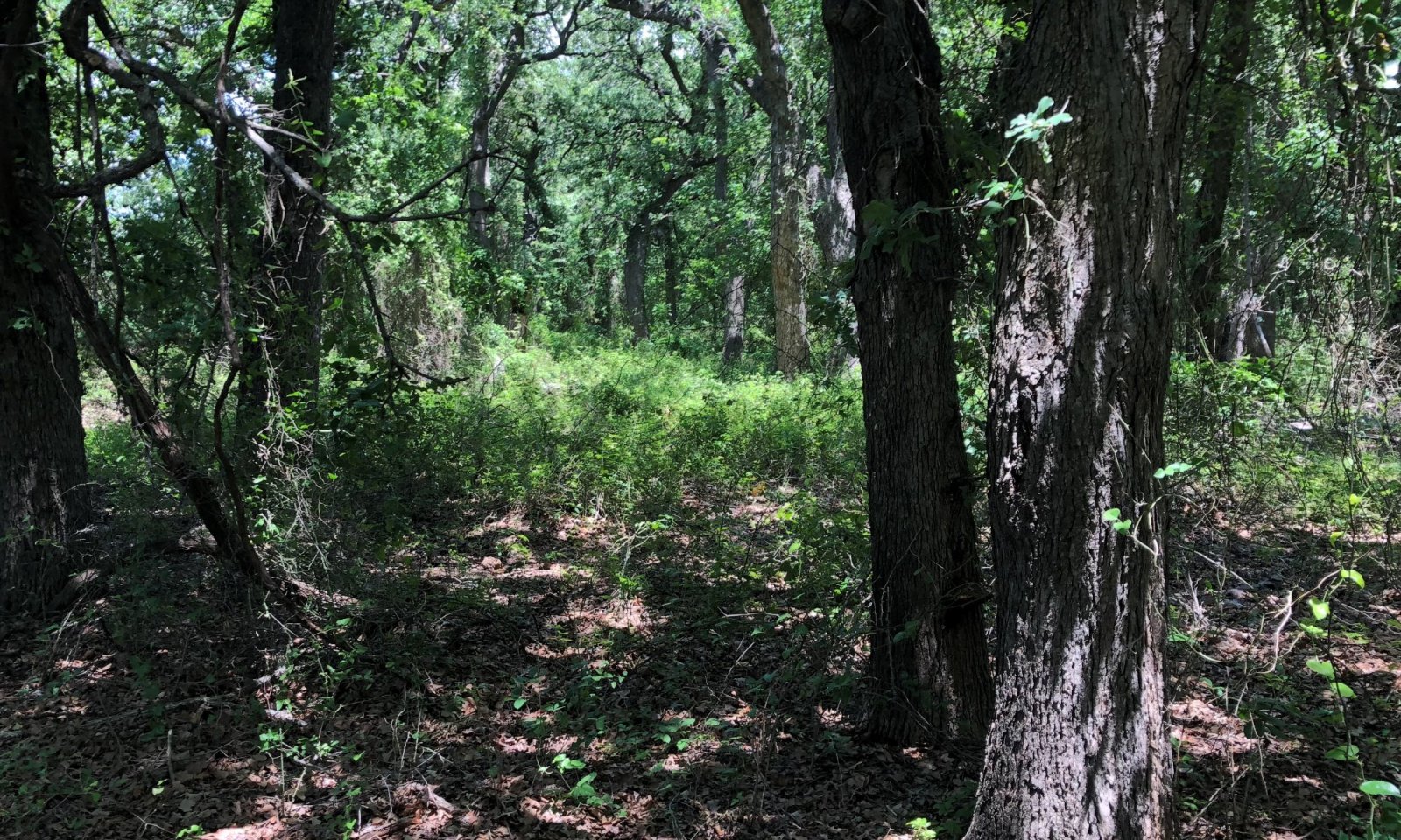
This is the reference state for the Deep Sand ecological site. It represents the historic range of variability in the plant communities with the periodic disturbance of fire and grazing. It is a mosaic of herbaceous plants, oak species and woody understory vines and shrubs.
The dominant trees are post oak and black jack oak with a mixture of tall and midgrasses, forbs and shrubs in the understory and canopy interspaces. Dominant herbaceous plants include little bluestem, big bluestem, Indiangrass, switchgrass, beaked panicum, purpletop tridens, sand lovegrass, and wildryes. Other grasses include dropseeds, sedges, and Scribner's panicum. Forbs include Sunflowers, Englemann daisy, tickclover, lespedezas, wildbeans, yellow Neptune, echinacea, and guara. Other woody plants include elms, greenbriar, plums, grapes, hawthorn, American beautyberry, coralberry, and Carolina snailseed. These woody species will increase in ground cover in the absence of fire.
These sites are similar in species composition to Sandy Loam sites; however, they tend to be less productive and more sensitive to drought conditions.
Woody canopy in the reference state is complex with some areas having dense oak canopy mixed with multiple prairie openings. For planning and management purposes, the average woody canopy in reference condition can be described as less than 40 percent.
The Sandy Loam site is estimated to produce between 3,000 to 5,000 pounds of vegetative production per year in reference condition.
Tallgrasses = Midgrasses greater than Trees greater than Forbs & Shrubs
Submodel
Description
This state represents the shift to a woody dominated plant community with woody canopy exceeding 60 percent. Trees and shrubs dominate the ecological processes on the site and the herbaceous grasses and forbs are limited to shade-tolerant species. There is an abundance of leaf litter build up which further limits herbaceous plant germination and production.
Description
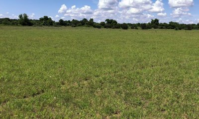
This state represents a change in land use from rangeland to pastureland. The soil structure and biology has been altered and the site is dominated by introduced species. Management of introduced forages requires more inputs than native grasses. Careful consideration should be taken prior to planting to ensure the result meets the desired use. Ratings for forage yields can be found under the Non-irrigated Crop Yield section in web soil survey. As with any fertility management program, current soil tests should be taken before planting and subsequent fertilization of introduced pastures.
The most common forage species on these sites include bermudagrass and Old World bluestems(eg. KR bluestem).
Without brush management, woody species such as mesquite, juniper, elm, or honey locust may invade these sites.
There may be opportunities to plant native grass species on these sites to restore the reference plant communities. The success of this type of restoration is highly variable and depends on the remaining soil resources and past management. This type of endeavor often requires site specific planning and evaluation. However, the species described in the reference state are a good resource for initial planning of any restoration project.
Mechanism
Without periodic fire or brush management the Reference State will transition to the Closed Canopy Woodland State. Woody species will continue to increase and lead to mesophication of the plant community with increased woody canopy and an increase in shade-tolerant species.
Mechanism
Most of these sites were cultivated for crop production during the settlement of the area. Many of them have been planted to monocultures of introduced forage grasses in recent years. When these sites are cultivated, the soil properties are significantly altered from the reference state. Soil structure, hydrology and biology have been impacted and the site is transitioned to the Converted state.
Mechanism
At this point it will take significant inputs to remove woody species and restore the Savannah State. This will require some selective thinning of woody species and the re-introduction of fire to the ecosystem. This process may take 5 years or more depending on woody canopy and past management. Grazing management including some deferment will be required to help reestablish the herbaceous plant community.
Model keys
Briefcase
Add ecological sites and Major Land Resource Areas to your briefcase by clicking on the briefcase (![]() ) icon wherever it occurs. Drag and drop items to reorder. Cookies are used to store briefcase items between browsing sessions. Because of this, the number of items that can be added to your briefcase is limited, and briefcase items added on one device and browser cannot be accessed from another device or browser. Users who do not wish to place cookies on their devices should not use the briefcase tool. Briefcase cookies serve no other purpose than described here and are deleted whenever browsing history is cleared.
) icon wherever it occurs. Drag and drop items to reorder. Cookies are used to store briefcase items between browsing sessions. Because of this, the number of items that can be added to your briefcase is limited, and briefcase items added on one device and browser cannot be accessed from another device or browser. Users who do not wish to place cookies on their devices should not use the briefcase tool. Briefcase cookies serve no other purpose than described here and are deleted whenever browsing history is cleared.
Ecological sites
Major Land Resource Areas
The Ecosystem Dynamics Interpretive Tool is an information system framework developed by the USDA-ARS Jornada Experimental Range, USDA Natural Resources Conservation Service, and New Mexico State University.


