Gravelly 30-38 PZ
Scenario model
Current ecosystem state
Select a state
Management practices/drivers
Select a transition or restoration pathway
- Transition T1A More details
- Transition T1B More details
- Restoration pathway R2A More details
- Transition T2A More details
-
No transition or restoration pathway between the selected states has been described
Target ecosystem state
Select a state
State 1
Tallgrass Prairie State - Reference


Description
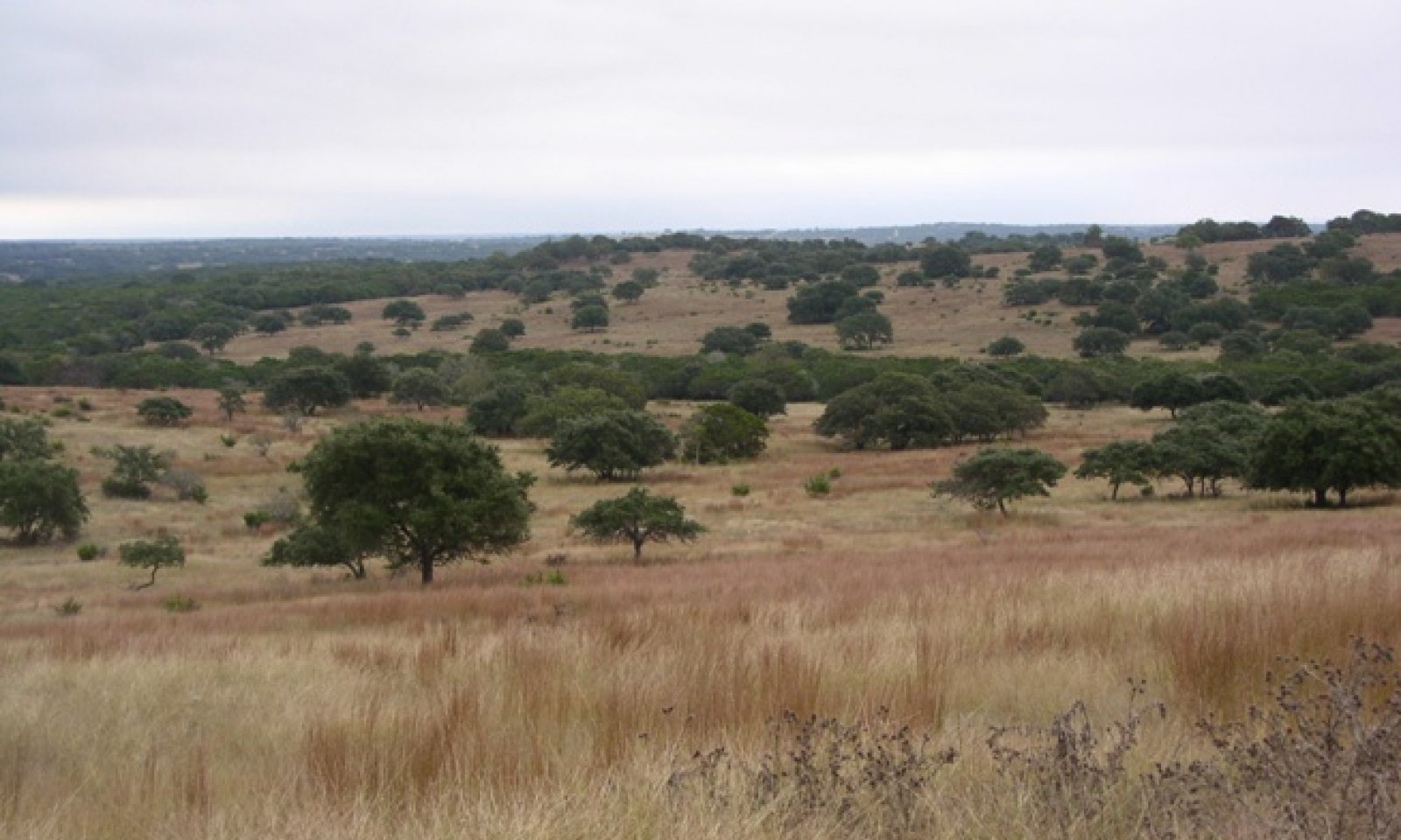
The interpretive plant community for this site is a Tallgrass Prairie Community (1.1). The community is dominated by warm-season perennial tallgrasses such as little bluestem and Indiangrass. Other major perennial grass species are well dispersed through the site. Perennial forbs are well represented throughout the community. The plant community evolved under short duration, heavy use by large herbivores. This short, heavy grazing was followed by long rest periods due to herd migration along with occasional fire. Annual production ranges from 2000 to 4500 pounds per acre.
The Mid/Tallgrass Community consists of tallgrasses and forbs that will start to disappear from the plant community and are replaced by midgrasses. Invader brush species such as Ashe juniper (Juniperus ashei) appears and becomes established. Shrubs and woody vines also start to increase. Cool-season grasses will increase as brush canopy increases. Annual production ranges from 1800 to 2500 pounds per acre.
Submodel
Description
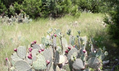
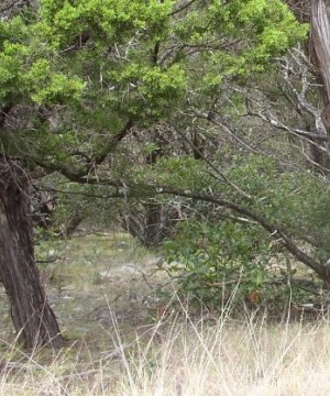
This State only has one community: the Woodland Community (2.1) which is recognized in having greater than 20% woody canopy dominated by Ashe juniper, redberry juniper, prickly pear, and honey mesquite. Other species present in small amounts are hackberry, Texas oak, and live oak. The herbaceous understory is almost nonexistent. Shade-tolerant species such as Texas wintergrass and cedar sedge tends to dominate the site where mesquite is dominant. When the canopy of juniper increases toward a cedar breaks community, most grasses have almost disappeared. Due to the presence of shade, the amount of total grass cover is greatly reduced which in turn reduces herbaceous production. Annual production ranges from 1000 to 2000 pounds per acre.
Submodel
Description
Open Grassland Community (3.1) by eliminating all woody species and applying range planting using native or introduced species such as Kleingrass or old world bluestems such as WW Spar and WW B Dahl. This community can also become invaded with woody species in the absence of fire, brush management and with heavy yearlong grazing. Annual production ranges from 2000 to 4000 pounds per acre.
Thus the Woodland Community (3.2) becomes established with Ashe juniper, redberry juniper, pricklypear, honey mesquite and other woody shrubs or trees since the oaks and other higher successional plants have been virtually eliminated. Annual production ranges from 800 to 1800 pounds per acre.
Submodel
Mechanism
Without prescribed burning and/or prescribed grazing, the Tallgrass Prairie State would continue to shift toward the Brushland State.
Mechanism
The Tallgrass Prairie State can be converted to an Open Grassland State by eliminating all brush and applying range planting.
Mechanism
With the implementation of various conservation practices including Prescribed Grazing, Prescribed Burning, Brush Management, and Range Planting, the Brushland State can be restored to the Tallgrass Prairie State.
Relevant conservation practices
| Practice | External resources |
|---|---|
|
Brush Management |
|
|
Prescribed Burning |
|
|
Prescribed Grazing |
|
|
Range Planting |
Model keys
Briefcase
Add ecological sites and Major Land Resource Areas to your briefcase by clicking on the briefcase (![]() ) icon wherever it occurs. Drag and drop items to reorder. Cookies are used to store briefcase items between browsing sessions. Because of this, the number of items that can be added to your briefcase is limited, and briefcase items added on one device and browser cannot be accessed from another device or browser. Users who do not wish to place cookies on their devices should not use the briefcase tool. Briefcase cookies serve no other purpose than described here and are deleted whenever browsing history is cleared.
) icon wherever it occurs. Drag and drop items to reorder. Cookies are used to store briefcase items between browsing sessions. Because of this, the number of items that can be added to your briefcase is limited, and briefcase items added on one device and browser cannot be accessed from another device or browser. Users who do not wish to place cookies on their devices should not use the briefcase tool. Briefcase cookies serve no other purpose than described here and are deleted whenever browsing history is cleared.
Ecological sites
Major Land Resource Areas
The Ecosystem Dynamics Interpretive Tool is an information system framework developed by the USDA-ARS Jornada Experimental Range, USDA Natural Resources Conservation Service, and New Mexico State University.


