
Natural Resources
Conservation Service
Ecological site R085BY026OK
Edgerock 38-42 PZ
Last updated: 9/21/2023
Accessed: 02/07/2026
General information
Provisional. A provisional ecological site description has undergone quality control and quality assurance review. It contains a working state and transition model and enough information to identify the ecological site.
Figure 1. Mapped extent
Areas shown in blue indicate the maximum mapped extent of this ecological site. Other ecological sites likely occur within the highlighted areas. It is also possible for this ecological site to occur outside of highlighted areas if detailed soil survey has not been completed or recently updated.
MLRA notes
Major Land Resource Area (MLRA): 085B–Arbuckle Uplift
The Grand Prairie MLRA is characterized by predominately loam and clay loam soils underlain by limestone and shale. Topography transitions from steeper ridges and summits of the Lampasas Cut Plain on the southern end to the more rolling hills of the Fort Worth Prairie to the north. The Arbuckle Mountain area in Oklahoma is also within this MLRA. In the structurally complex Arbuckle Mountains of southern Oklahoma, outcropping rocks are primarily limestone, sandstone, dolomite, quartzite, and chert. These units are exposed as alternating beds of Paleozoic rocks that have been faulted, tilted, and deformed to form a tombstone-like topography. This area has significant exposures of granite, rhyolite, and gabbro of Precambrian age.
Classification relationships
This ecological site is correlated to soil components at the Major Land Resource Area (MLRA) level which is further described in USDA AgHandbook 296.
Ecological site concept
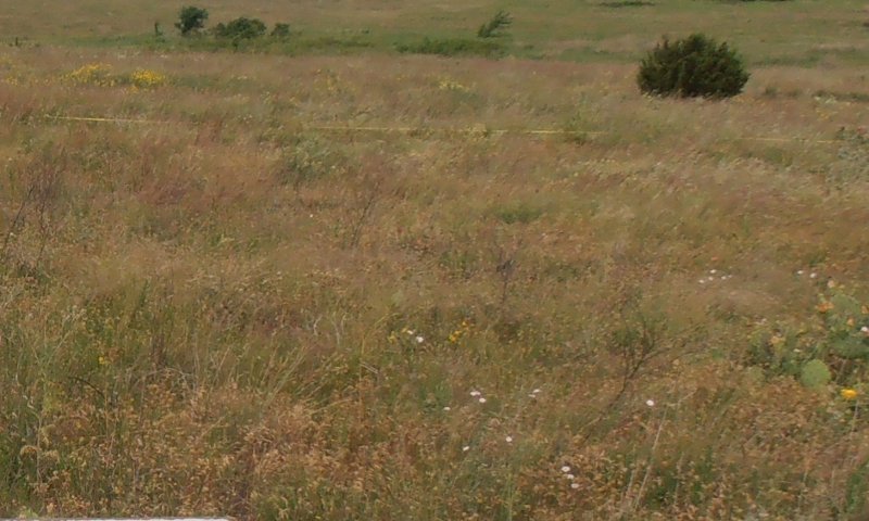
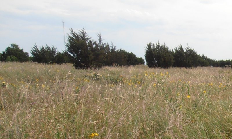
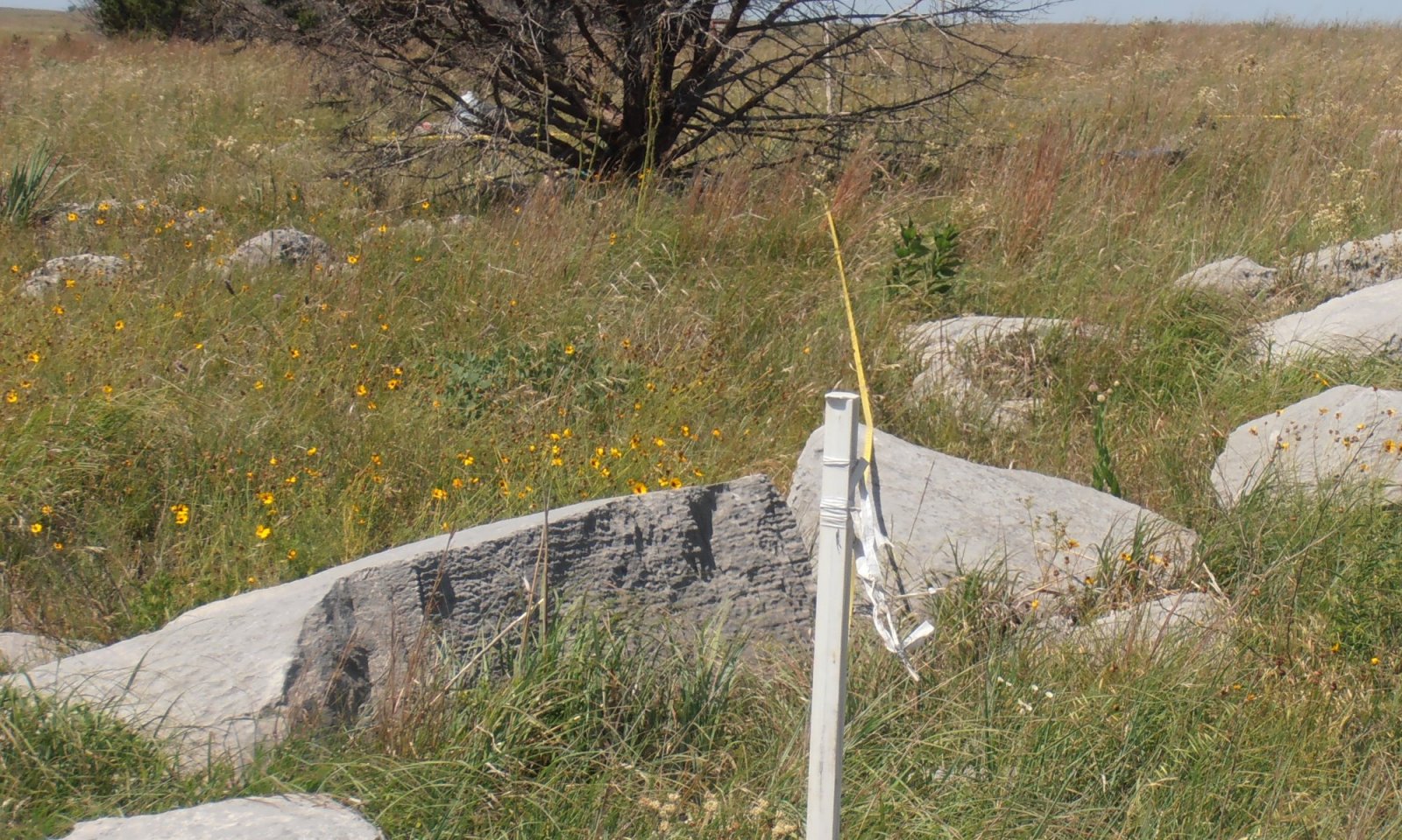
These sites occur on rolling limestone hills with exposed bedrock uplifted to form characteristic rows. The intervening areas of soils are often very shallow. However, some joints or cracks in the bedrock form deeper soil pockets that support tall and midgrasses intermixed with Shortgrasses and numerous forbs. Very few woody species are present in the reference state. In the absence of fire or other brush management woody species will increase across the site.
Associated sites
| R085BY056OK |
Loamy Upland 38-42 PZ Loamy soils on uplands |
|---|---|
| R085BY088OK |
Shallow Savannah 38-42 PZ Oak savannahs on shallow soils |
| R085BY028OK |
Rhyolite Hills 38-42 PZ Shallow soils over rhyolite |
Similar sites
| R085AY185TX |
Shallow 30-38" PZ Shallow soils over limestone |
|---|
Table 1. Dominant plant species
| Tree |
Not specified |
|---|---|
| Shrub |
Not specified |
| Herbaceous |
(1) Bouteloua curtipendula |
Click on box and path labels to scroll to the respective text.
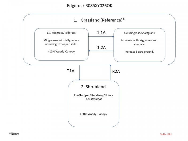
Ecosystem states
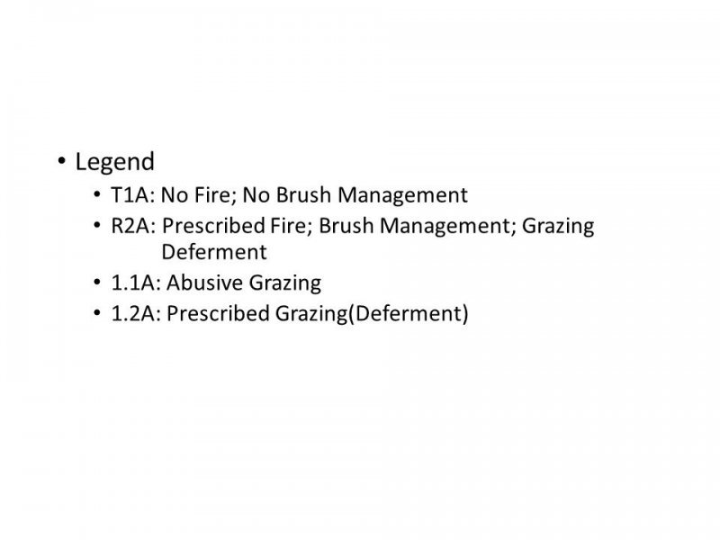
| T1A | - | No Fire, No Brush Management |
|---|---|---|
| R2A | - | Prescribed Fire, Brush Management, Grazing Deferment |
State 1 submodel, plant communities
| 1.1A | - | Abusive Grazing |
|---|---|---|
| 1.2A | - | Rest from Grazing |
