
Natural Resources
Conservation Service
Ecological site F090AY001WI
Poor Fen
Last updated: 10/02/2023
Accessed: 02/07/2026
General information
Provisional. A provisional ecological site description has undergone quality control and quality assurance review. It contains a working state and transition model and enough information to identify the ecological site.
MLRA notes
Major Land Resource Area (MLRA): 090A–Wisconsin and Minnesota Thin Loess and Till
MLRA 90A is part of the recently glaciated till and outwash plains of central Minnesota and northern Wisconsin. The area was covered with loamy alluvium or loess after glaciation. It is in Wisconsin (56 percent), Minnesota (40 percent), and Michigan (4 percent). It makes up about 21,967 square miles (56,901 square kilometers).
This MLRA has distinct boundaries to the north where it borders tills of a dissimilar origin on the less morainic landscapes of MLRAs 88, 92, and 93A. The boundary to the west is where the MLRA transitions to the calcareous tills of the Des Moines Lobe, in MLRA 57. To the south, MLRA 90A borders MLRA 90B, which has older soils and better-defined drainage patterns, and MLRA 91, which has the distinct lower landscape relief of an outwash channel.
The part of this area in Minnesota is mostly in the Western Lake section of the Central Lowland province of the Interior Plains. Nearly all the parts in Wisconsin and Michigan are in the Superior Upland province of the Laurentian Upland. Four distinct lobes of the Laurentide Ice Sheet (Rainy, Superior, Chippewa, and Green Bay) played major roles in shaping the landscape in this area. The landscape is characterized by gently undulating to rolling, loess-mantled till plains, drumlin fields, and end moraines mixed with outwash plains associated with major glacial drainageways, swamps, bogs, and fens. In some areas lake plains and ice-walled lakes are significant. Steeper areas occur mostly as valley side slopes along flood plains and as escarpments along the margins of lakes.
Lakes, ponds, and marshes are common throughout the area, and streams generally have a dendritic pattern. The major rivers in this area are the Chippewa, St. Croix, Mississippi, and Wisconsin Rivers. Elevation ranges from 1,100 to 1,950 feet (335 to 595 meters). Local relief is mainly less than 10 feet to 20 feet (3 to 6 meters), but some major valleys and hills are 200 feet (60 meters) above the adjacent lowland.
Precambrian-age bedrock underlies most of the glacial deposits in this MLRA. The bedrock is a complex of folded and faulted igneous and metamorphic rocks. The bedrock terrain has been modified by glaciation and is covered in most areas by Pleistocene deposits and windblown silts. The glacial deposits form an almost continuous cover in most areas. The drift is several hundred feet thick in many areas. Loess covered the area shortly after the glacial ice melted.
Ground water is abundant in deep glacial deposits in most of this area. It also occurs in sedimentary and volcanic rock in the western part of the area. It is scarce where the layer of drift is thin. The water meets the domestic, agricultural, municipal, industrial, rural, and irrigation needs of the area. The content of dissolved solids in the ground water from all the various aquifers in this area is low, and the water generally is moderately hard or hard. The level of total dissolved solids in some of the water can be much higher because of a high content of limestone in some of the glacial deposits. Most of this area obtains ground water from unconsolidated glacial sand and gravel deposits on or very near the surface. Some wells tap the Cambrian sandstone in the southwestern part of the area, in Wisconsin.
In northwest Wisconsin (Ashland and Bayfield Counties) where there are no glacial deposits and in much of the part of this area in Minnesota, ground water from sedimentary and volcanic rock aquifers is used. This water is of very good quality; however, many soils have very porous layers that are poor filters of domestic waste and agricultural chemicals, so there is a risk of contamination from development and agriculture. Minor water concerns are hardness and, in some areas, high concentrations of iron. Yields of water from the glacial deposits vary.
The dominant soil orders are Alfisols, Entisols, Histosols, and Spodosols. The soils in the area have a frigid temperature regime, a udic or aquic moisture regime, and mixed mineralogy.
This area has a significant acreage of public and private forestland used to support the paper and lumber industry Sap collection from sugar maple and syrup production are important forestry enterprises. Agricultural enterprises include row crops, dairy farms, and beef operations. Crops include corn, soybeans, oats, wheat, and alfalfa. Tourism, recreation, and wildlife management are important. Hunting, fishing, snowmobiling, hiking, and skiing are popular activities because of the area’s abundance of water, the many acres of national and county forests, and public hunting grounds. (United States Department of Agriculture, Natural Resources Conservation Service, 2022. )
Classification relationships
Relationship to Established Framework and Classification Systems:
Wetland Forest Habitat Type Classification System for Northern Wisconsin (Kotar and Burger, 2017): All four visited sites in this ES keyed out to one habitat type: Picea mariana - Larix laricina [PmLLe]
Biophysical Settings (Landfire, 2014): Much of this site is mapped as Boreal Acidic Peatland Forest, Boreal Acidic Peatland Herbaceous, Boreal Acidic Peatland Shrubland, Central Interior and Appalachian Swamp Shrubland, and Laurentian-Acadian Alkaline Conifer-Hardwood Swamp Forest
WDNR Natural Communities (WDNR, 2015): This ES is most similar to the Black Spruce Swamp, Northern Wet Forest, and Northern Tamarack Swamp communities
Hierarchical Framework Relationships:
Major Land Resource Area (MLRA 90A): Wisconsin and Minnesota Thin Loess and Till
USFS Subregions: St. Croix Moraine (212Qa), Hayward Stagnation Moraines (212Xf), Glidden Loamy Drift Plain (212Xa), Central-Northwest Wisconsin Loess Plains (212Xd), Perkinstown End Moraine (212Xe), Brule and Paint Rivers Drumlinized Ground Moraine (212Xc), Green Bay Lobe Stagnation Moraine (212Ta)
Small sections occur in Green Bay Lobe Stagnation Moraine (212Ta), Central Wisconsin Moraines and Outwash (222Kb), Bayfield Sand Plains (212Ka), Athelstane Sandy Outwash and Moraines (212Tc)
Wisconsin DNR Ecological Landscapes: North Central Forest, Forest Transition, Northwest Lowlands
Ecological site concept
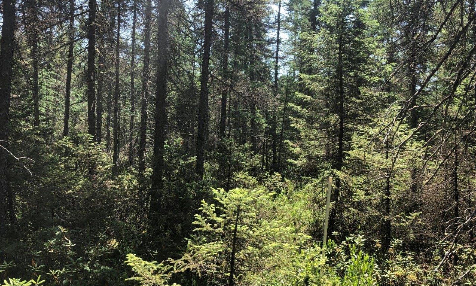
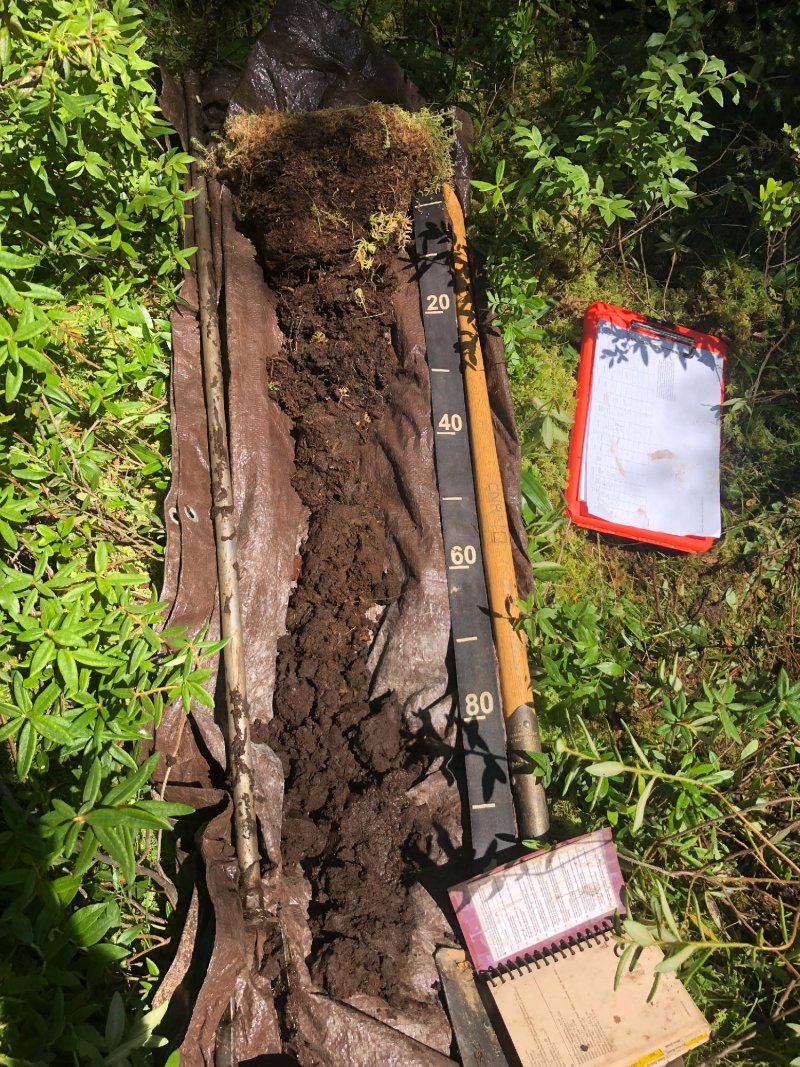
The Poor fen ecological site is scattered throughout MLRA 90A in drainageways and depressions on moraines, outwash, lake, and till plains. These sites are characterized by very deep, very poorly drained soils formed in thick organic deposits underlain by glacial till, glacial outwash, or alluvium. Sites are subject to frequent ponding in the spring and fall. Soils remain saturated during the growing season and meet hydric soils requirements. Water is primarily received form precipitation and runoff from adjacent uplands with little groundwater discharge and stream inflow. Soils range from extremely acid to strongly acid.
Poor fen sites have low pH that differentiates it from Organic ecological sites. The low pH is caused by limited interaction with groundwater that may be enriched with carbonates. In addition, the groundwater discharging into Poor fen sites is likely passing through surrounding parent materials that are acidic (i.e. outwash sand). Sites that are acid bogs have very little interaction with groundwater and receive most of their water from precipitation and runoff from adjacent uplands, both of which tend to be quite acidic. The low pH limits vegetative growth.
Associated sites
| F090AY005WI |
Wet Sandy Lowland Wet Sandy Lowland consist of deep sandy deposits derived from a mixture of outwash, alluvium, and lacustrine sources. They form in seasonally ponded depressions and are saturated long enough for hydric conditions to occur. Some sites are wetlands. These sites occur slightly higher on the drainage sequence than Poor fen sites. |
|---|---|
| F090AY009WI |
Moist Sandy Lowland Moist Sandy Lowland primarily consist of deep, sandy deposits from outwash, alluvium, lacustrine, and till. They sandy deposits may have a loamy mantle or be underlain by loamy deposits. The finer materials can cause episaturation and allow the site to remain moist for some of the growing season. They are drier and occur higher on the drainage sequence than Poor fen sites. |
| F090AY013WI |
Sandy Upland Sandy Upland consist of deep sandy and loamy deposits of outwash, alluvium, till, and residuum. Soils are primarily sand and loamy sand and have a seasonally high water table within 80 inches, though they don't remain saturated for extended periods. They are much drier and occur higher on the drainage sequence than Poor fen sites. |
| F090AY019WI |
Dry Sandy Uplands Dry Sandy Uplands consist of primarily sandy deposits of various origin. Loamy deposits are also present in many soils. They may have a seasonally high water table within two meters of the surface, though they do not remain saturated for sustained periods. They are much drier and occur higher on the drainage sequence than Poor fen sites. |
Similar sites
| F090AY002WI |
Mucky Swamp Like Poor fen sites, Mucky Swamp sites consist of herbaceous organic materials, sometimes with mineral soil contact. They are also very poorly drained, permanently saturated wetlands. Organic Nonacid sites are more alkaline than Poor fen sites because they receive more stream and groundwater. Additionally, adjacent sites may have more calcareous parent materials than those adjacent to Poor fen sites. These differences are reflected in the vegetative communities, with Organic Nonacid having improved growing conditions over Poor fen. |
|---|---|
| F090AY003WI |
Sandy Floodplain Sandy Floodplain sites are found exclusively on floodplains in sandy and sometimes silty alluvium. These sites are somewhat poorly to poorly drained and are subject to flooding. Some sites may be saturated for long enough for hydric conditions to occur. Unlike Poor fen sites, they receive most of their water from streamflow. They are much less acidic and slightly drier than Poor fen sites. Growing conditions are improved. |
| F090AY005WI |
Wet Sandy Lowland Wet Sandy Lowland consist of deep sandy deposits derived from a mixture of outwash, alluvium, and lacustrine sources. They form in seasonally ponded depressions and are saturated long enough for hydric conditions to occur. These sights occupy slightly higher landscape positions than Poor fen sites. The vegetative communities they support are slightly drier and more nutrient-demanding than those supported by Poor fen sites. |
Table 1. Dominant plant species
| Tree |
(1) Picea mariana |
|---|---|
| Shrub |
(1) Ledum groenlandicum |
| Herbaceous |
(1) Sphagnum |
Click on box and path labels to scroll to the respective text.


