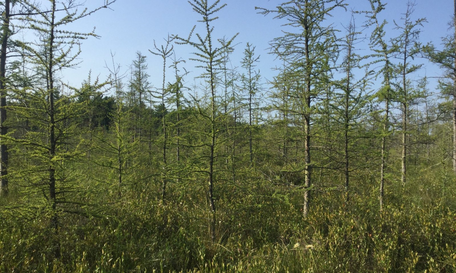
Photo courtesy of UWSP taken on 07/24/2019 in Burnett County, WI.
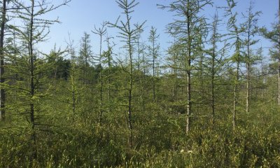
Photo courtesy of UWSP taken on 08/17/2019 in Douglas County, WI.
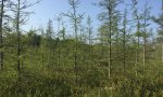
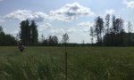
Photo courtesy of UWSP taken on 07/23/2019 in Kewaunee County, WI.
Description
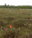
The reference state includes three community phases that are part of the mosaic of norther acid peatlands. We chose three distinct community phases to represent the Reference state: a forested phase, shrub phase, and open bog phase. Other communities may exist within this ecological site if they lack similar hydrology. In addition, many sites may exhibit characteristics of multiple community phases. These community phases are not necessarily linear success but may develop in that fashion.
Submodel
1.1. Forest Phase
1.2. Intermediate Open Phase
1.3. Open Phase
Model keys
Briefcase
Add ecological sites and Major Land Resource Areas to your briefcase by clicking on the briefcase () icon wherever it occurs. Drag and drop items to reorder. Cookies are used to store briefcase items between browsing sessions. Because of this, the number of items that can be added to your briefcase is limited, and briefcase items added on one device and browser cannot be accessed from another device or browser. Users who do not wish to place cookies on their devices should not use the briefcase tool. Briefcase cookies serve no other purpose than described here and are deleted whenever browsing history is cleared.
The Ecosystem Dynamics Interpretive Tool is an information system framework developed by the USDA-ARS Jornada Experimental Range, USDA Natural Resources Conservation Service, and New Mexico State University.