
Natural Resources
Conservation Service
Ecological site F091XY007WI
Moist Sandy and Loamy Lowland
Last updated: 9/27/2023
Accessed: 02/07/2026
General information
Provisional. A provisional ecological site description has undergone quality control and quality assurance review. It contains a working state and transition model and enough information to identify the ecological site.
MLRA notes
Major Land Resource Area (MLRA): 091X–Wisconsin and Minnesota Sandy Outwash
The Wisconsin and Minnesota Sandy Outwash MLRA is the most extensive glacial outwash system in the northern half of Wisconsin. The total land area of the Wisconsin portion is just under 1.4 million acres (2,170 sq miles). The northern half is a former spillway for Glacial Lake Duluth. The flowing meltwater from the draining lake has left behind thick deposits of drift and carved a terraced river valley now occupied by the St. Croix and Bois Brule Rivers.
The northeastern section – the Bayfield hills – is a collapsed outwash plain where drift deposits are thick. Lacustrine materials from Glacial Lake Duluth line the northeastern tip. Moving southwest, the landscape transitions into a large pitted outwash plain. This is an area of extensive kettle holes, and, where the underlying till is less permeable, kettle lakes with some interspersed morainic hills and ridges. The glacial drift deposits are thinner in the southwestern section, although there is still no documented surface bedrock within this MLRA.
The St. Croix and Bois Brule rivers share a channel that lines much of the northwestern border of this MLRA. In some places, the underlying reddish-brown sandy loam till of the Copper Falls Formation is exposed along cut riverbanks, though most of it is covered by a mantle of outwash. Glacial lakes deposited pockets of fine-textured lacustrine materials, most of which were washed away or buried by glacial outwash and meltwater flowing through the channel. East of the channel, some of the silty and clayey lakebed deposits are found near the surface, where they impede drainage and contribute to the formation of extensive wetlands.
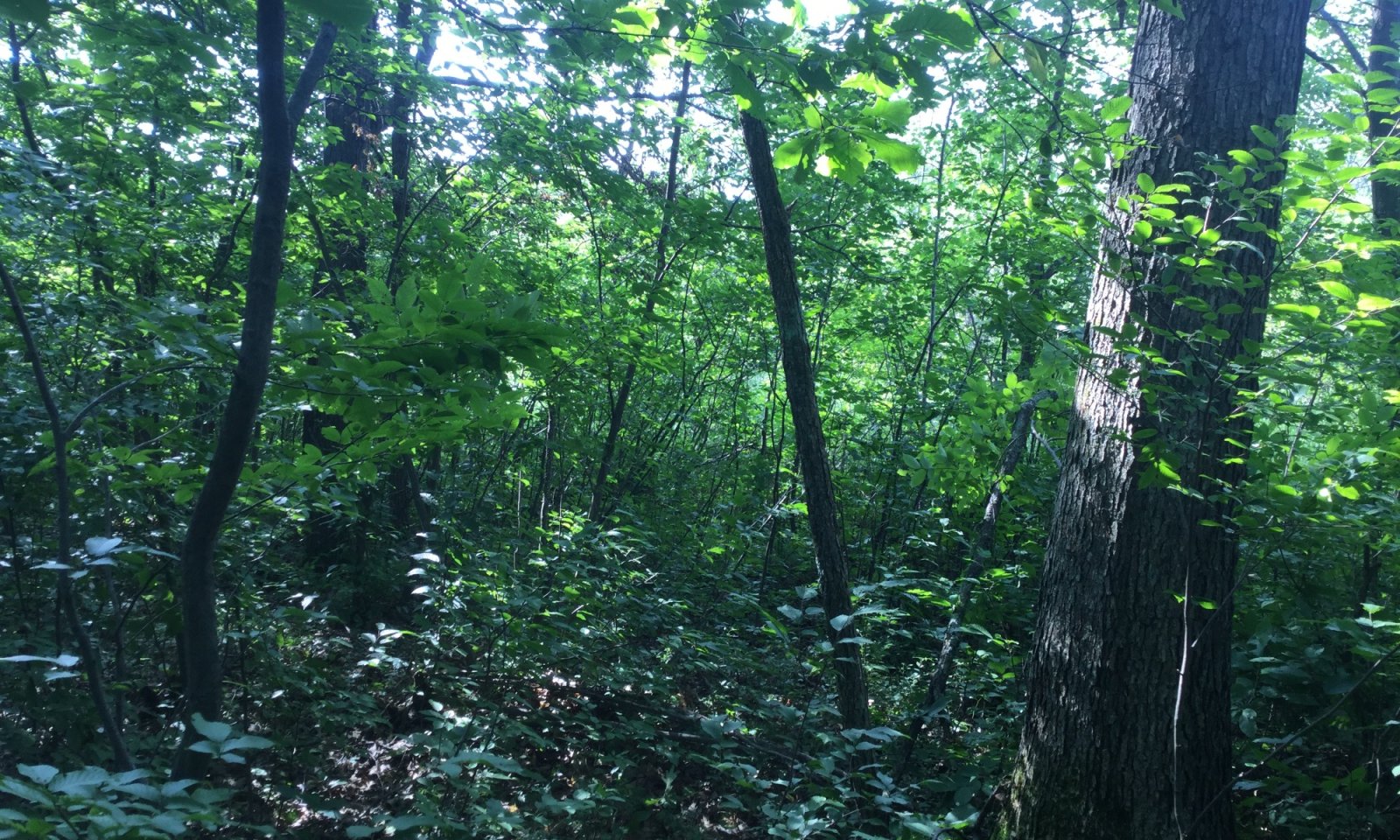
Historically, the area supported extensive jack pine (Pinus banksiana), scrub, and oak forests and barrens. The northern portion also supported stands of red pine (Pinus resinosa) and eastern white pine (Pinus strobus) as well. Marsh and sedge meadow, wet prairies, and lowland shrubs dominated the extensive wetland complexes in the southern tip of this MLRA (Finley, R., 1976).
Classification relationships
Relationship to Established Framework and Classification Systems:
Biophysical Settings (Landfire, 2014): This ES is largely mapped as Laurentian Pine Barrens, Laurentian Oak Barrens, Laurentian-Acadian Northern Hardwoods Forest, Eastern Cool Temperate Pasture and Hayland, and Eastern Cool Temperate Row Crop
Wetland Forest Habitat Type Classification System for N. Wisconsin (Kotar and Burger, 2017) and Habitat Types of N. Wisconsin (Kotar, 2002): The sites of this ES keyed out to three habitat types: Acer rubrum/Vaccinium-Rubus pubescens (ArVRp); Acer rubrum-Abies balsamea/Vaccinium-Cornus (ArAbVCo); Fraxinus nigra/Onoclea (FnOn)
Hierarchical Framework Relationships:
Major Land Resource Area (MLRA): Wisconsin and Minnesota Sandy Outwash (91X)
USFS Subregions: Bayfield Sand Plains (212Ka)
Small sections occur in the Mille Lacs Uplands (212Kb) subregion
Wisconsin DNR Ecological Landscapes: Northwest Sands, Northwest Lowlands
Ecological site concept
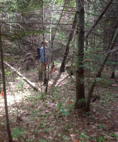
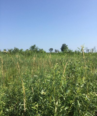
The Moist Sandy and Loamy Lowland Ecological Site is scattered throughout MLRA 91X on moraines, stream terraces, outwash plains, and lake plains. These sites are characterized by very deep, somewhat poorly drained soils that formed primarily in sandy outwash and loamy alluvium. Some sites formed in eolian or lacustrine deposits, and some sites are underlain by loamy till. Precipitation, runoff from adjacent uplands, and groundwater discharge are the primary sources of water. Soils range from very strongly acid to neutral.
Moist Sandy and Loamy Lowland sites are differentiated from other sites based on parent materials and drainage. These sites have sandy and loamy materials that often have lower pH and available water capacity than clayey materials. The somewhat poor drainage differs this ecological site from other sandy and loamy sites.
Associated sites
| F091XY005WI |
Wet Sandy and Loamy Lowland These sites occur on depressions and drainageways on outwash plains and lake plains. They primarily form in sandy outwash are subject to some flooding. Soils are very deep and poorly or very poorly drained. They are saturated for much of the year. They are wetter and occur lower on the drainage sequence than Moist Sandy and Loamy Lowland sites. |
|---|---|
| F091XY011WI |
Sandy Upland These soils formed primarily in sandy outwash or sandy eolian deposits, but some sites formed in sandy lacustrine or loamy alluvium underlain by sandy outwash. Soils are very deep and are moderately well or somewhat excessively drained. They are neutral to extremely acid and lack a spodic horizon. They are drier and occur higher on the drainage sequence than Moist Sandy and Loamy Lowland sites. |
| F091XY012WI |
Loamy Upland These soils formed in loamy lacustrine, loamy alluvium, loamy till, sandy outwash, sandy eolian, or loess deposits. Some sites have underlying lacustrine deposits, till, or basalt bedrock. They are moderately well or well drained. They are drier and occur higher on the drainage sequence than Moist Sandy and Loamy Lowland sites, |
| F091XY015WI |
Dry Upland These sites formed in sandy outwash or eolian deposits. Soils are very deep, excessively drained, and lack a spodic horizon. They are much drier and occur higher on the drainage sequence than Moist Sandy and Loamy Lowland sites. |
Similar sites
| F091XY008WI |
Moist Clayey Lowland These soils formed in a sandy outwash mantle over clayey lacustrine deposits over sandy lacustrine deposits, or loamy glaciofluvial deposits over clayey lacustrine deposits. Like Moist Sandy and Loamy Lowland sites, soils are very deep and are somewhat poorly drained, but Moist Clayey Lowland sites have finer particle size classes. The vegetative communities found on Moist Clayey Lowland sites have comparable tolerances to poorer drainage but sometimes have higher nutrient requirements than those found on Moist Sandy and Loamy Lowland sites. |
|---|---|
| F091XY003WI |
Floodplain These sites occur in depressions and flats on floodplains. They form in sandy to silty alluvium and are somewhat poorly to very poorly drained. They are subject to flooding. Their vegetative communities may sometimes be similar to those found on Moist Sandy and Loamy Lowland sites. |
Table 1. Dominant plant species
| Tree |
(1) Abies balsamea |
|---|---|
| Shrub |
(1) Corylus cornuta |
| Herbaceous |
(1) Maianthemum canadense |
Click on box and path labels to scroll to the respective text.
Ecosystem states
| T1A | - | Stand replacing disturbance that includes fire. |
|---|---|---|
| T1B | - | Removal of forest cover and tilling for agricultural crop production. |
| R2 | - | Deciduous forest community is slowly invaded by conifers. |
| T2A | - | Removal of forest cover and tilling for agricultural crop production. |
State 1 submodel, plant communities
| 1.1A | - | Light to moderate intensity fires, blow-downs, ice storms. |
|---|---|---|
| 1.2A | - | Disturbance-free period for 30+ years. |


