Peaty Shore Fens
Circle-spoke model
Scenario model
Current ecosystem state
Select a state

Management practices/drivers
Select a transition or restoration pathway
-
No transition or restoration pathway between the selected states has been described
Target ecosystem state
Select a state

Description
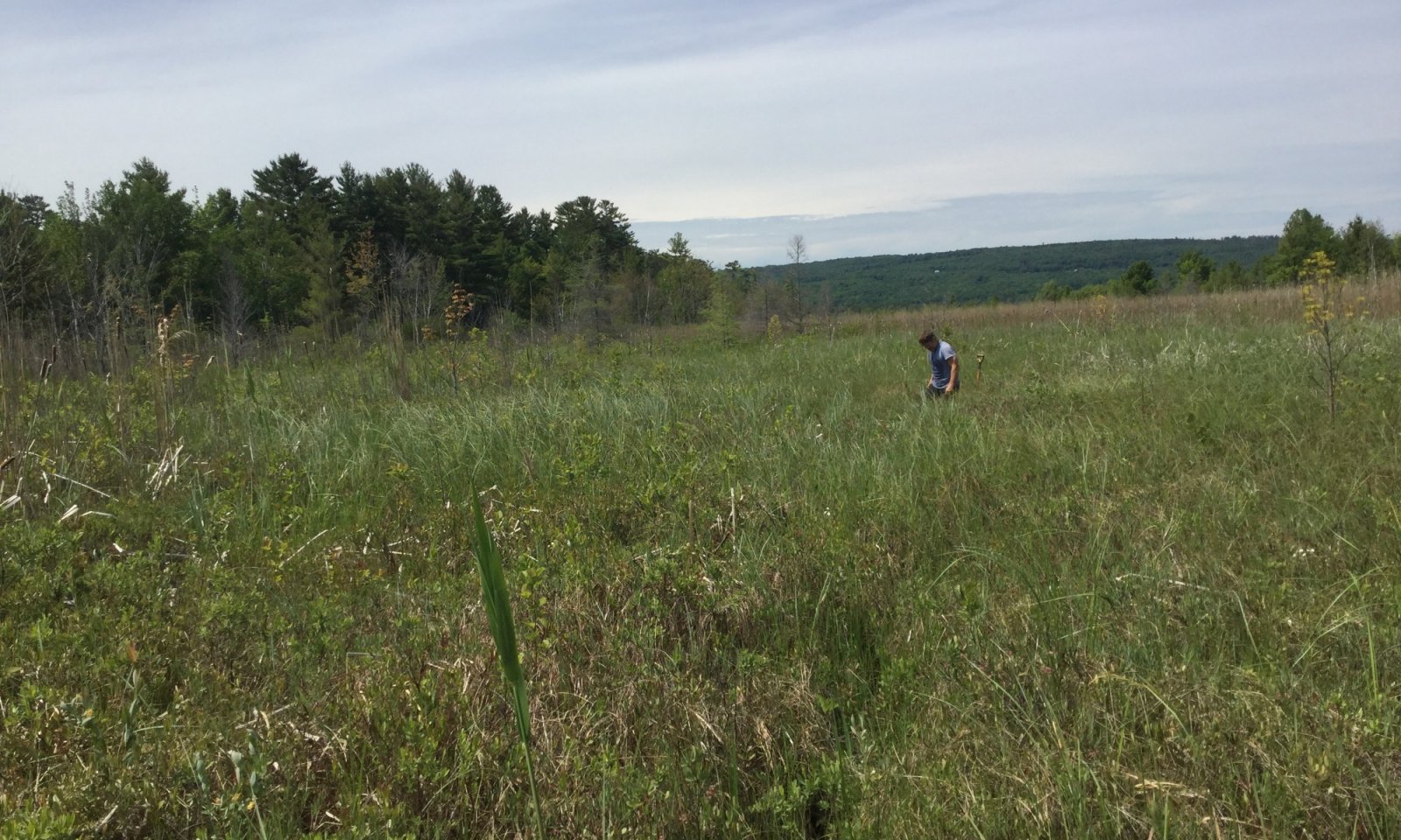
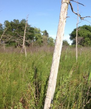
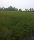
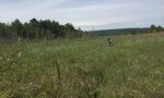
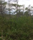
The reference state for Peaty Shore Fens represents multiple stable phases influenced by hydroperiod disturbances. The fluctuation of lake levels drives changes over long periods of time between these alternate stable phases. These phases represent a continuum of change from a stable stunted forest of tamarack with complete soil surface cover of sphagnum in the driest conditions to an open phase consisting primarily of sedges in the wettest condition with an intermediate phase in between where a few tamaracks may persist, but not reproduce, and a few woody species of stunted shrubs may be present.
Submodel
Model keys
Briefcase
Add ecological sites and Major Land Resource Areas to your briefcase by clicking on the briefcase (![]() ) icon wherever it occurs. Drag and drop items to reorder. Cookies are used to store briefcase items between browsing sessions. Because of this, the number of items that can be added to your briefcase is limited, and briefcase items added on one device and browser cannot be accessed from another device or browser. Users who do not wish to place cookies on their devices should not use the briefcase tool. Briefcase cookies serve no other purpose than described here and are deleted whenever browsing history is cleared.
) icon wherever it occurs. Drag and drop items to reorder. Cookies are used to store briefcase items between browsing sessions. Because of this, the number of items that can be added to your briefcase is limited, and briefcase items added on one device and browser cannot be accessed from another device or browser. Users who do not wish to place cookies on their devices should not use the briefcase tool. Briefcase cookies serve no other purpose than described here and are deleted whenever browsing history is cleared.
Ecological sites
Major Land Resource Areas
The Ecosystem Dynamics Interpretive Tool is an information system framework developed by the USDA-ARS Jornada Experimental Range, USDA Natural Resources Conservation Service, and New Mexico State University.