
Natural Resources
Conservation Service
Ecological site R092XY007WI
Wet Loamy or Clayey Lowlands
Last updated: 4/09/2020
Accessed: 02/07/2026
General information
Provisional. A provisional ecological site description has undergone quality control and quality assurance review. It contains a working state and transition model and enough information to identify the ecological site.
MLRA notes
Major Land Resource Area (MLRA): 092X–Superior Lake Plain
The Wisconsin portion of the Superior Lake Plain (MLRA 92) corresponds very closely to the Superior Coastal Plain Ecological Landscape published by Wisconsin Department of Natural Resources (WDNR 2015). The following brief overview of this MLRA is borrowed from that publication.
The Superior Coastal Plain is bordered on the north by Lake Superior and on the south by the Northwest Sands, Northwest Lowlands, and North Central Forest Ecological Landscapes. The total land area is approximately 1.2 million acres, which mostly consists of privately-owned forestland. The climate is strongly influenced by Lake Superior, resulting in cooler summers, warmer winters, and greater precipitation compared to more inland locations. The most extensive landform in this ecological landscape is a nearly level plain of lacustrine clays that slopes gently northward toward Lake Superior. The coastal plain is cut by deeply incised stream drainages and interrupted by the comparatively rugged Bayfield Peninsula.
During the Late Wisconsin glacial period, this area was covered with the advancing and retreating lobes of Superior and Chippewa. The landscape was rippled with moraines, but they were subdued by deposition of lacustrine materials. As the glaciers receded, glacial lakes riddled the landscape—most notably, Glacial Lake Duluth. The glacier receded eastward, exposing the western Lake Superior Basin. The ice covered the eastern basin, blocking the outlet of the lake, and continued to recede and contribute meltwaters that filled the glacial lake. The deep, red clays were deposited during this period of glacial lakes. The meltwaters from the glacier also contained sands which were deposited along the edge of the glacial lakes as beach deposits. Deep, narrow valleys have since been carved by rivers and streams flowing north into Lake Superior.
Historically, the Superior Coastal Plain was almost entirely forested. Various mixtures of eastern white pine (Pinus strobus), white spruce (Picea glauca), balsam fir (Abies balsamea), white birch (Betula papyrifera), balsam poplar (Populus balsamifera), quaking aspen (Populus tremuloides), and northern white-cedar (Thuja occidentalis) occurred on the fine-textured glacio-lacustrine deposits bordering much of the Lake Superior coast. Sandy soils, sometimes interlayered with clays, occur in some places. Such areas supported forests dominated by eastern white pine and red pine (Pinus resinosa). Eastern white pine was strongly dominant in some areas, according to mid-19th century notes left by surveyors of the federal General Land Office (Finley, R. 1976). Dry-mesic to wet-mesic northern hardwoods or hemlock-hardwood forests were prevalent on the glacial tills of the Bayfield Peninsula. Large peatlands occurred along the Lake Superior shoreline, associated with drowned river mouths.
Classification relationships
Habitat Types of N. Wisconsin (Kotar, 2002): All forested sites in this ES key out to Fraxinus nigra – Abies balsamea / Impatiens capensis [FnAbI].
Biophysical Setting (Landfire, 2014): This is ES is mapped as Eastern Boreal Floodplain, Boreal Acidic Peatland System, Laurentian – Acadian Alkaline Conifer – Hardwood Swamp, Larentian – Acadian Northern Hardwoods Forest – Hemlock, and Laurentian – Acadian Sub-boreal Mesic Balsam Fir-Spruce Forest. The ES is not well represented by any of these, but most similar to Eastern Boreal Floodplain.
WDNR Natural Communities (WDNR, 2015): This ES is most similar to Mesic Floodplain Terrace.
USFS Subregions: Superior-Ashland Clay Plain Subsection (212Ya); May contain small areas of Ewen Dissected Lake Plain Subsection (212Jo), Winegar Moraines Subsection (212Jc), Gogebic-Penokee Iron Range Subsection (212Jb), and NorthShore Highlands Subsection (212Lb)*
*Located in Upper Peninsula of Michigan (212J) and Minnesota (212Lb)
Major Land Resource Area (MLRA): Superior Lake Plain (92)
Ecological site concept
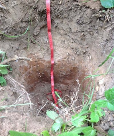
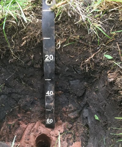
Wet Loamy or Clayey Lowlands has a fairly large extent in MLRA 92; much larger than the sandy counterpart of this ES. This ES occurs in swamps, depressions, and drainageways in soils that formed mainly in clayey deposits or sandy over clayey deposits in till plains and lake plains. Only around 1.5% of these sites occur in loamy soils. These soils are poorly to very poorly drained, are frequently flooded, and experience ponding in spring and fall. The sites have a seasonally high water table but remain saturated throughout the year as the water table only drops to 30 cm in drier conditions. These sites often have apparent carbonates that can begin as shallow as 10 cm. The sites that have a sandy or loamy mantle over clayey deposits may contain carbonates, but they begin at a lower depth. This variation in soil texture causes the sites to range from strongly acid to moderately alkaline.
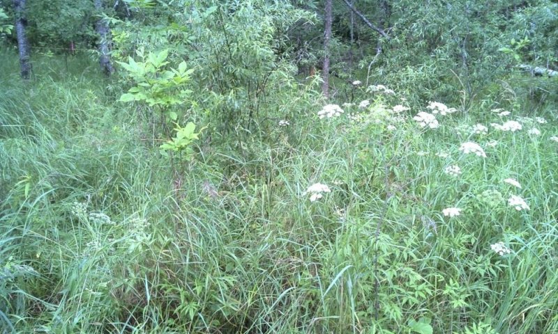
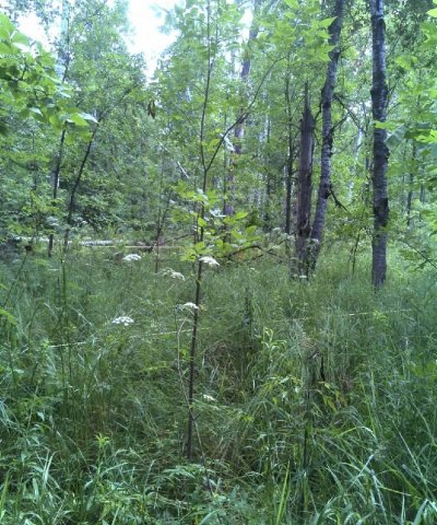
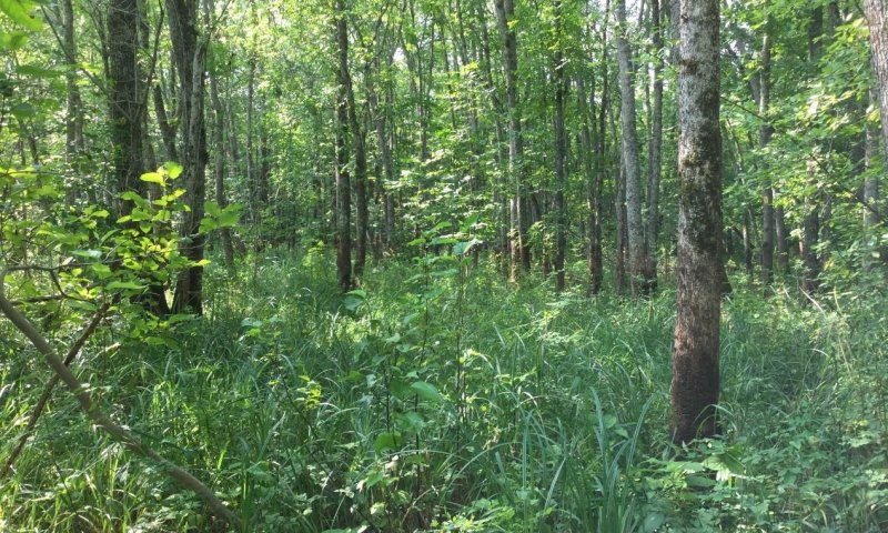
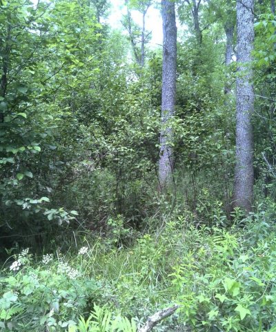
Typical vegetation on these sites includes black ash and balsam fir with aspen, paper birch, and red maple as common associates. Typical understory includes dwarf raspberry, horsetail, sedges, and ferns. Shrub layers for this ES are not consistent but when present (often from a lack of canopy) consist of tag alder, serviceberry, or beaked hazelnut. It is common among this ES to have black ash seedlings and seedlings of the other dominant canopy trees in the understory.
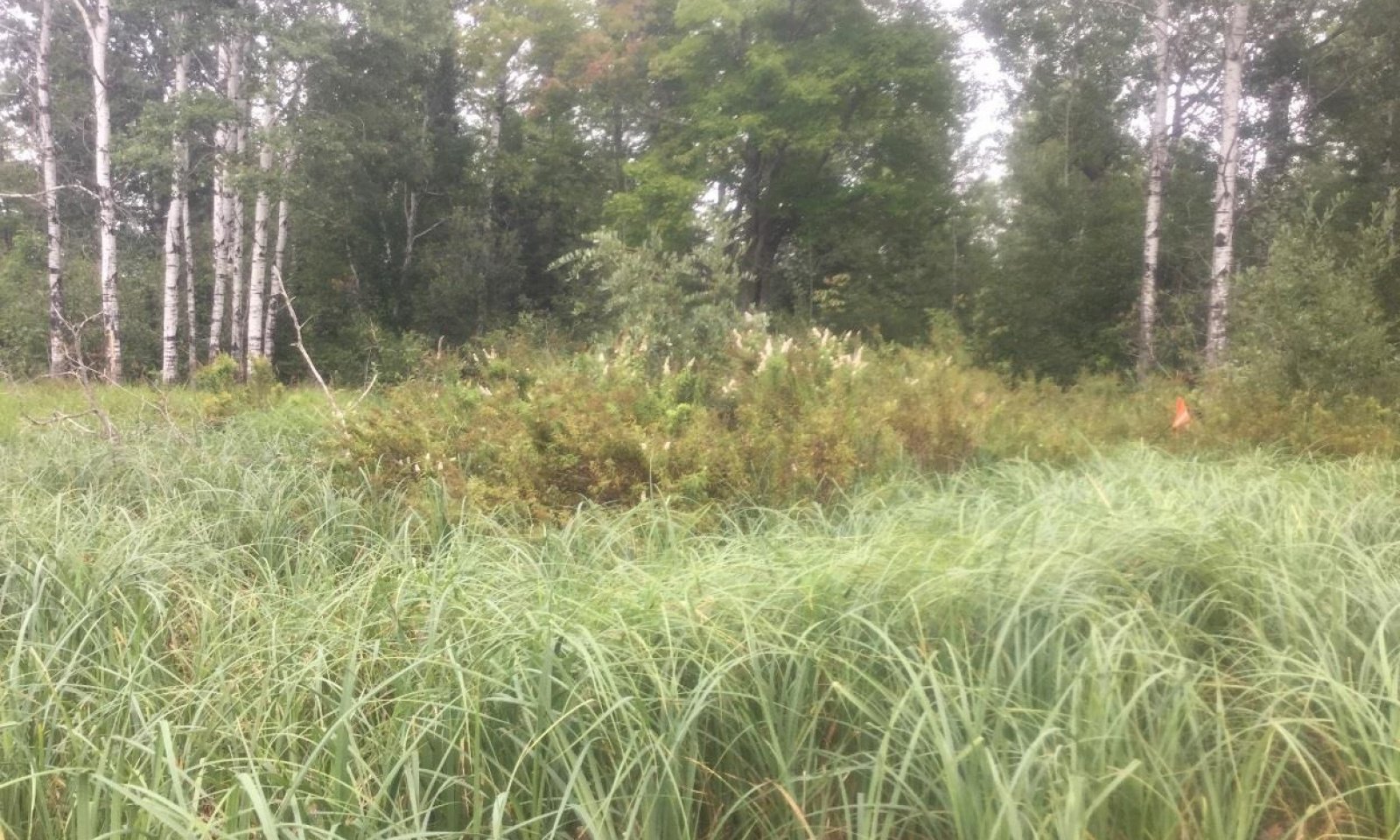
Due to long duration ponding on some sites in the ES some sites may have minimal canopies and trend towards tag alder or open areas with sedges and grasses dominating. This is an effect of hydroperiod that may be influenced changing precipitation patterns or localized changes in the amount of runoff from adjacent lands.
This ES is distinct from its sandy counterpart based on soil texture, parent materials, depth to water table, amount and depth of carbonates, and the sandy or loamy mantles of clayey deposits on some sites. This ES is finer textured, has mostly clayey deposits, and has the highest water table throughout the year.
Associated sites
| R092XY011WI |
Moist Loamy Lowlands These sites are somewhat poorly drained soils with fine textures that formed in clayey deposits. Some sites have a sandy or loamy mantle. The fine materials cause episaturation in spring and fall and remain saturated for extended period, but the water table can reach depths of 152cm during dry periods. Soils range from strongly acid to strongly alkaline. Carbonates present in some soils beginning at 30cm. These sites are often adjacent to Wet Loamy or Clayey Lowlands, located above them in the drainage sequence. |
|---|---|
| R092XY015WI |
Clayey Uplands These sites are deep, moderately well to well drained soils that formed in clayey till or glaciolacustrine deposits. Some sites have a sandy or loamy mantle. Sites have a seasonally high water table, but does not remain saturated for extended periods. Sites range from strongly acid to moderately alkaline, with carbonates present in many sites. These sites are often adjacent to Wet Loamy or Clayey Lowlands, located above them in the drainage sequence. |
| R092XY002WI |
Mucky Swamps These sites consist of saprist soils that have formed in deep organic materials in depressions. The soils are highly decomposed herbaceous and woody materials and range from 40 to greater than 200cm in depth. Sites are underlain by sandy or loamy glacial deposits. The sites are poorly to very poorly drained and remain saturate throughout the year. These are slightly acidic to slightly alkaline wetland soils. These sites may be found adjacent to Wet Loamy or Clayey Lowlands in a lower landscape position in the drainage sequence. |
Similar sites
| R092XY006WI |
Wet Sandy Lowlands Wet Sandy Depressions are poorly or very poorly drained sandy soils that have formed in outwash and lake plains. The sites are seasonally ponded depressions that remain saturated for sustained periods, allowing for hydric conditions to occur. Primarily associated with Kinross soil series. HGM criteria: recharge; Depressional. These sites are found in a similar landscape to Wet Loamy or Clayey Lowlands, but are coarser textured and in a different drainage sequence. |
|---|
Table 1. Dominant plant species
| Tree |
(1) Fraxinus nigra |
|---|---|
| Shrub |
Not specified |
| Herbaceous |
(1) Impatiens capensis |
Click on box and path labels to scroll to the respective text.
Ecosystem states
State 1 submodel, plant communities
| 1.1A | - | Ponding frequency and duration decreases |
|---|---|---|
| 1.2A | - | Ponding frequency and duration increases |
| 1.2B | - | Very infrequent flooding |
| 1.3B | - | Ponding frequency and duration increases dramatically |
| 1.3A | - | Ponding frequency and duration increases moderately |

