
Natural Resources
Conservation Service
Ecological site R092XY008WI
Sandy Sandstone Uplands
Last updated: 4/09/2020
Accessed: 02/08/2026
General information
Provisional. A provisional ecological site description has undergone quality control and quality assurance review. It contains a working state and transition model and enough information to identify the ecological site.
MLRA notes
Major Land Resource Area (MLRA): 092X–Superior Lake Plain
The Wisconsin portion of the Superior Lake Plain (MLRA 92) corresponds very closely to the Superior Coastal Plain Ecological Landscape published by Wisconsin Department of Natural Resources (WDNR 2015). The following brief overview of this MLRA is borrowed from that publication.
The Superior Coastal Plain is bordered on the north by Lake Superior and on the south by the Northwest Sands, Northwest Lowlands, and North Central Forest Ecological Landscapes. The total land area is approximately 1.2 million acres, which mostly consists of privately-owned forestland. The climate is strongly influenced by Lake Superior, resulting in cooler summers, warmer winters, and greater precipitation compared to more inland locations. The most extensive landform in this ecological landscape is a nearly level plain of lacustrine clays that slopes gently northward toward Lake Superior. The coastal plain is cut by deeply incised stream drainages and interrupted by the comparatively rugged Bayfield Peninsula.
During the Late Wisconsin glacial period, this area was covered with the advancing and retreating lobes of Superior and Chippewa. The landscape was rippled with moraines, but they were subdued by deposition of lacustrine materials. As the glaciers receded, glacial lakes riddled the landscape—most notably, Glacial Lake Duluth. The glacier receded eastward, exposing the western Lake Superior Basin. The ice covered the eastern basin, blocking the outlet of the lake, and continued to recede and contribute meltwaters that filled the glacial lake. The deep, red clays were deposited during this period of glacial lakes. The meltwaters from the glacier also contained sands which were deposited along the edge of the glacial lakes as beach deposits. Deep, narrow valleys have since been carved by rivers and streams flowing north into Lake Superior.
Historically, the Superior Coastal Plain was almost entirely forested. Various mixtures of eastern white pine (Pinus strobus), white spruce (Picea glauca), balsam fir (Abies balsamea), white birch (Betula papyrifera), balsam poplar (Populus balsamifera), quaking aspen (Populus tremuloides), and northern white-cedar (Thuja occidentalis) occurred on the fine-textured glacio-lacustrine deposits bordering much of the Lake Superior coast. Sandy soils, sometimes interlayered with clays, occur in some places. Such areas supported forests dominated by eastern white pine and red pine (Pinus resinosa). Eastern white pine was strongly dominant in some areas, according to mid-19th century notes left by surveyors of the federal General Land Office (Finley, R. 1976). Dry-mesic to wet-mesic northern hardwoods or hemlock-hardwood forests were prevalent on the glacial tills of the Bayfield Peninsula. Large peatlands occurred along the Lake Superior shoreline, associated with drowned river mouths.
Classification relationships
Habitat Types of N. Wisconsin (Kotar, 2002): This ES keys out to two habitat types: Pinus strobus - Acer rubrum / Vaccinium angustifolium - Apocynum androsaemifolium [PArVAa-Po]; and Acer saccharum – Tsuga canadensis / Maianthemum candense. [ATM]
Biophysical Setting (Landfire, 2009): This ES is mapped as Laurentian-Acadian Northern Hardwoods Forest-Hemlock; and Laurentian – Acadian Sub-boreal Mesic Balsam Fir-Spruce Forest – Coastal. This ES is more similar to the Norther Hardwoods Hemlock Forest.
WDNR Natural Communities (WDNR, 2015): This ES is most similar to the Northern Dry Forest, though some sites may be more similar to the Northern Dry-Mesic Forest.
USFS Subregions: Superior-Ashland Clay Plain Subsection (212Ya); May contain small areas of Ewen Dissected Lake Plain Subsection (212Jo), Winegar Moraines Subsection (212Jc), Gogebic-Penokee Iron Range Subsection (212Jb), and NorthShore Highlands Subsection (212Lb)*
Major Land Resource Area (MLRA): Superior Lake Plain (92)
Ecological site concept
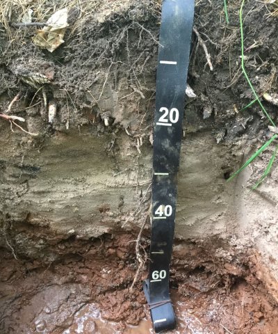
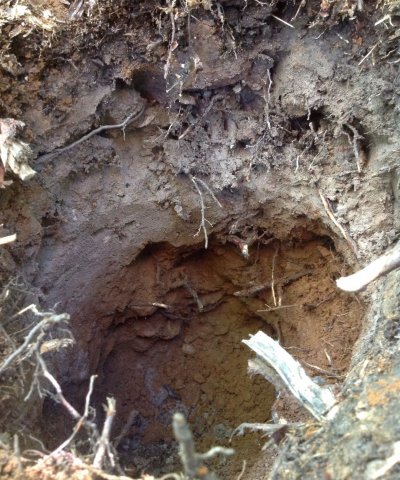
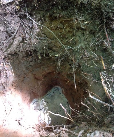
The Sandy Sandstone Uplands has a small extent in MLRA 92 and occurs along the shore of Lake Superior and on the Apostle Islands. These sites occur on shallow to moderately deep sandy soils overlying sandstone outcrops. The soils associated with this ES are excessively drained and parent materials include sandy-skeletal beach deposits and sandstone residuum. The soils differ in their depth to bedrock, but are all underlain by sandstone within 100 cm. Water is received through precipitation, but quickly drains. Soils do not remain saturated for any time during the year. These soils are strongly acidic.
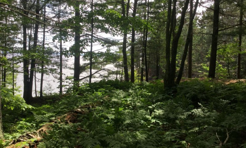
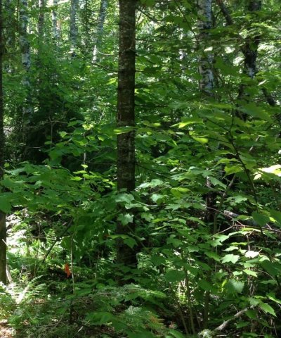
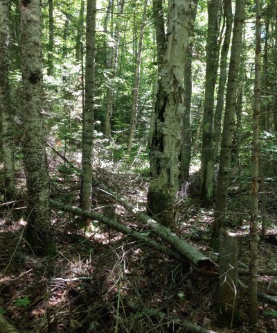
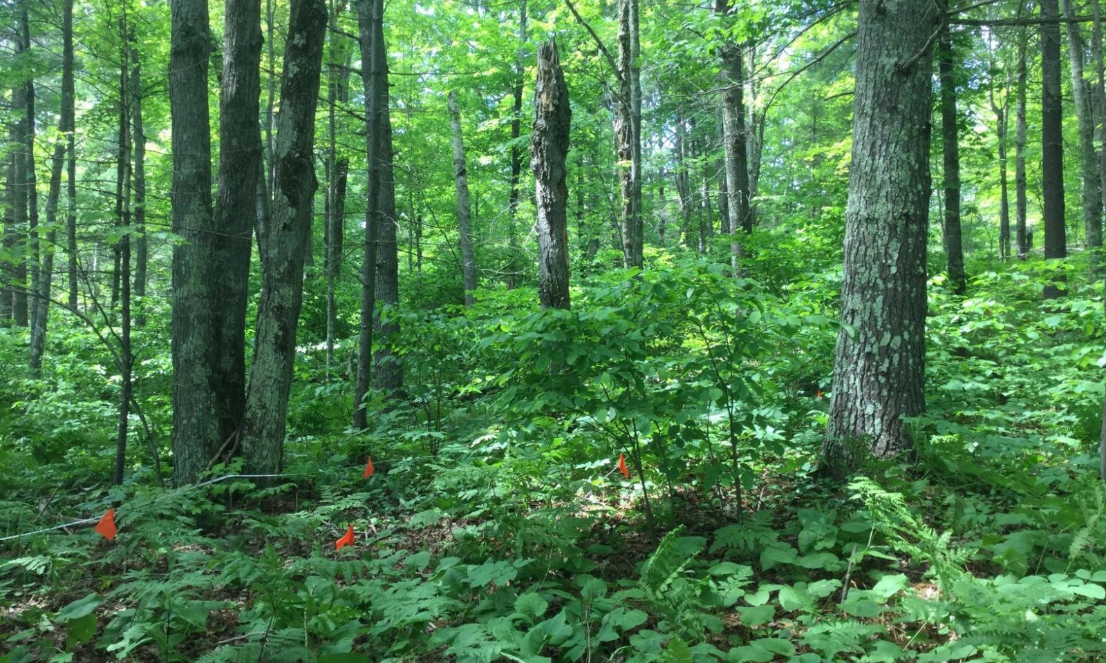
Historically this Ecological Site was occupied by forest communities dominated by various mixtures of pine and oak species. The mixtures were largely dependent on frequency and severity of disturbances, particularly fire and subsequent seed-bed conditions and availability of seed sources. White pine was the most constant species in forest communities due to its ecological characteristics of great longevity, resistance of old trees to fire damage and moderate tolerance to shade by seedlings and saplings. Red oak was often present as an associate species. Virtually all stands on this Ecological Site were harvested during the late 19th and early 20th centuries and post-logging fires were almost universal. Today’s forests are dominated by any mixture of white pine, red pine, aspen, red oak and red maple. White birch, balsam fir and white spruce are common associates.
This ES is distinguished by its truncated soil and excessive drainage. Other sandy sites have a deeper solum, may be underlain by finer material, and often have more saturation during the year. Loamy Sandstone Uplands has a finer soil texture.
Sandy Sandstone Uplands are uniquely along lake shore bluffs or close to Lake Superior as a result they have a unique climate yielding some variability in their vegetation namely whether Sugar maple is strongly expressed or only an uncommon associate.
Associated sites
| R092XY006WI |
Wet Sandy Lowlands Wet Sandy Depressions are poorly or very poorly drained sandy soils that have formed in outwash and lake plains. The sites are seasonally ponded depressions that remain saturated for sustained periods, allowing for hydric conditions to occur. Primarily associated with Kinross soil series. HGM criteria: recharge; Depressional. These sites are located lower in the drainage sequence than Sandy Sandstone Uplands, and remain saturated much longer during the year. |
|---|---|
| R092XY010WI |
Moist Sandy Lowlands Moist Sandy Lowlands have a sandy mantle overlying finer glaciofluvial materials. The finer materials can cause episaturation in spring and fall, allowing the site to remain moist for some of the growing season, but does not remain saturated, nor does it have hydric conditions. These sites are located lower in the drainage sequence than Sandy Sandstone Uplands, and remain saturated longer during the year. |
Similar sites
| R092XY013WI |
Sandy Uplands While vegetatively similar, Sandy Uplands also contains the PArVAa-Po habitat type, the Sandy Sandstone Uplands have a restricted rooting depth and are less likely to support large trees. Sandy Uplands sites are formed primarily in sandy deposits, and some are underlain by finer glaciofluvial material. Sites are moderately well to excessively drained, but sites with underlying finer materials may have extended saturation in spring and fall. Sites range from strongly acid to neutral and may contain carbonates. These sites can be located in the drainage sequence with Sandy Sandstone Uplands. These sites have a deeper solum, and often have an additional parent material beneath the sandy materials on top. |
|---|---|
| R092XY009WI |
Loamy Sandstone Uplands These sites are shallow loamy soils that overly sandstone bluffs along the shore of Lake Superior. They are moderately well drained soils, but have a seasonally high water table. The soils range from strongly acid to neutral. These sites are nearby on similar landscape to Sandy Sandstone Uplands, but differ in having a finer texture. |
Table 1. Dominant plant species
| Tree |
(1) Pinus strobus |
|---|---|
| Shrub |
(1) Corylus cornuta |
| Herbaceous |
(1) Eurybia macrophylla |
Click on box and path labels to scroll to the respective text.
Ecosystem states
| T1A | - | Stand replacing disturbance e.g. blow-down ad fire, or clear-cutting, followed by fire. Regeneration by natural seeding or planting. |
|---|---|---|
| R2A | - | Fire control, time, natural succession. |
| T2A | - | Grazing by livestock. Disruption of tree regeneration and ground vegetation. |
| T2B | - | Removal of natural vegetation, plowing, fertilizing, irrigating, planting agricultural crops. |
| R3A | - | Removing livestock from stands. |
| T3A | - | Removal of natural vegetation, plowing, fertilizing, irrigating, planting agricultural crops. |
| R4A | - | Cessation of agricultural crop cultivation, replanting trees. |
State 1 submodel, plant communities
| 1.1A | - | Light to moderate intensity fires, reducing, or eliminating fire sensitive species such as red maple, balsam fir, and white spruce. |
|---|---|---|
| 1.2A | - | Time, natural succession. |
State 2 submodel, plant communities
Communities 1, 5 and 2 (additional pathways)
| 2.1A | - | White pine regeneration in mixed stand of white, red, and sometimes Jack pine. |
|---|---|---|
| 2.2A | - | White pine seeding in from natural seed source, or under-planted. |
| 2.3A | - | White pine seeding in from natural seed source, or under-planted. |
| 2.4A | - | White pine seeding in from natural seed source, or under-planted. |

