
Natural Resources
Conservation Service
Ecological site F094BY010MI
Clayey Upland
Last updated: 11/16/2023
Accessed: 02/07/2026
General information
Provisional. A provisional ecological site description has undergone quality control and quality assurance review. It contains a working state and transition model and enough information to identify the ecological site.
MLRA notes
Major Land Resource Area (MLRA): 094B–Michigan Eastern Upper Peninsula Sandy Glacial Deposits
The Michigan Eastern Upper Peninsula MLRA (94B) corresponds closely with the Northwestern Sands Ecological Landscape. Some of the following brief overview is borrowed from the Wisconsin Department of Natural Resources ecological landscape publication (2015).
The Michigan Eastern Upper Peninsula MLRA is in northeast Wisconsin on the border of the Upper Peninsula of Michigan, with a very small portion on the Lake Michigan coast disjoined from the rest of the MLRA. The Wisconsin portion of the MLRA is a bit shy of 1.1 million acres (1,668 square miles). This region, which was covered entirely by the Green Bay Lobe in Wisconsin’s most recent glaciation, has a unique glacial landscape defined by intermingled loamy moraines and sandy heads-of-outwash. Extensive pitted outwash plains dominate the region, with significant glaciolacustrine sediments in the southeast portion of this region.
A prominent landform in this MLRA is the hummocky ridges of intermingled loamy moraines and sandy heads-of-outwash that protrude from extensive pitted outwash plains. These north-south trending, loamy morainal ridges were deposited as the Green Bay Lobe was stagnant—the rate of melting was relatively equal to the rate of advancement. This stagnation allowed the deposition of a ridge of sandy loam materials. Supraglacial till was deposited unevenly, and buried ice blocks melted and collapsed the surface to form hummocky topography on the moraines. The heads-of-outwash formed while the ice was melting and thinning rapidly. Large amounts of sand and gravel outwash materials, and some till and loamy debris-flow sediment, were deposited on top of the thin edge of ice. They, too, have hummocky topography resulting from the collapse of buried ice. The topographically similar appearances of the moraines and heads-of-outwash make them difficult to distinguish superficially, but they are formed in different-textured materials and the vegetation divergence is often evident. These moraines and heads-of-outwash mark the western extent of the Green Bay Lobe and are sometimes referred to as the Athelstane Moraines.
As the Green Bay Lobe receded, meltwaters carried sand and gravel outwash sediments to lower-lying areas. The outwash buried broken ice that melted, collapsed the surface, and created extensive pitted outwash plains that occur between the high elevation moraines and heads-of-outwash. More than 50% of this land region is covered in outwash sediments, and most of the outwash is pitted or collapsed.
The southeast portions of this MLRA are dominated by glacial lake sediments. Glacial Lake Oshkosh covered a portion of this MLRA when it was at its largest extent (1.4 million acres). The lake deposited silts and clays along the southeast portion of the inland section of this MLRA. Beach terraces, ridges, and dunes were also formed by the lake. In the Lake Michigan coastal section of this MLRA, Glacial Lake Nipissing deposited a level lake plain full of sandy lacustrine material that overlies dolomite and limestone bedrock. Glacial Lake Nipissing was a postglacial lake that occurred in the Lake Michigan Basin as the Lake Michigan Lobe was receding. Wetlands are abundant in this area of the MLRA. In the north section, Glacial Lake Dunbar formed when ice dams impounded glacial meltwater between the Athelstane Moraine and the Inner Athelstane Moraine. This glacial lake deposited small areas of level sandy lacustrine materials.
The northeast section of this MLRA is a till plain that formed in later advances of the Green Bay Lobe. Some pitted outwash is present, but the till plain is much more exposed here than elsewhere in the MLRA. The till deposited throughout 94B is primarily sandy, dolomitic till. The dolomite was scraped off the Niagara Escarpment as the Green Bay Lobe moved across it. In some areas, the carbonates are deeply leached.
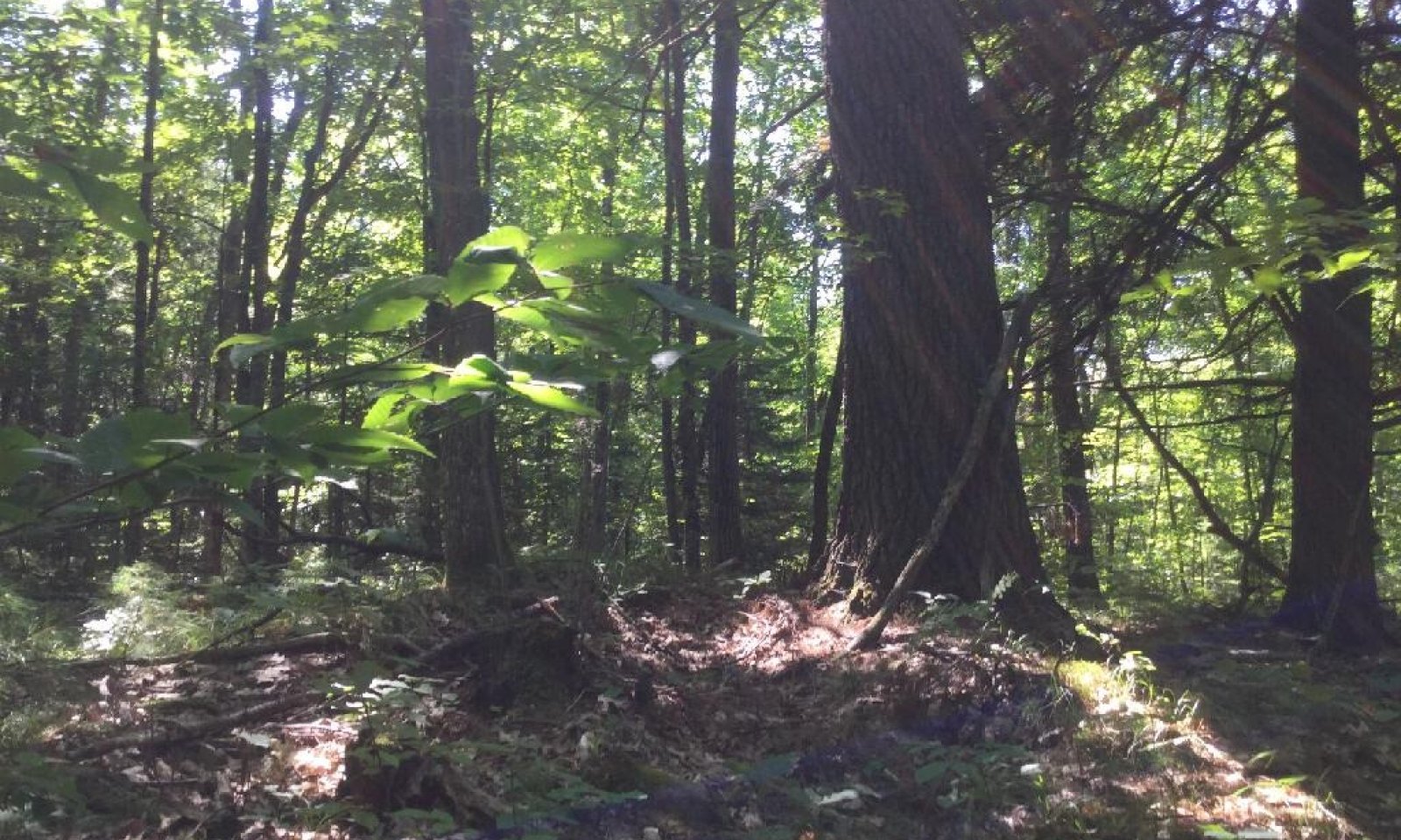
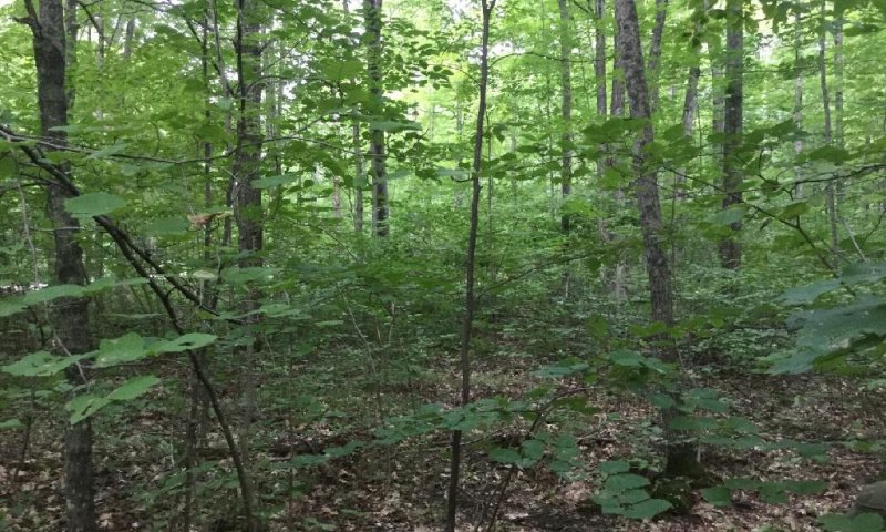
Historically, this MLRA was dominated by a mixture of northern hardwood forests, Jack pine-scrub oak barrens, and forested coniferous wetlands at 30%, 29%, and 20%, respectively. White pine (Pinus strobus) and red pine (Pinus resinosa) were dominant tree species and covered an estimated 15% of the area. Northern hardwood forests were dominated by eastern white pine, eastern hemlock (Tsuga canadensis), and American beech (Fagus grandifolia). The Jack pine-scrub oak barrens were dominant in the sandy portions of this MLRA. Forested coniferous wetlands were occupied by norther white-cedar (Thuja occidentalis), black spruce (Picea mariana), and tamarack (Larix laricina).
Classification relationships
Relationship to Established Framework and Classification Systems:
Habitat Types of N. Wisconsin (Kotar, 2002): Acer/Viburnum (AVb), Acer-Fagus/Viburnum (AFVb)
Biophysical Settings (Landfire, 2014): Laurentian-Acadian Northern Hardwoods Forest, Laurentian-Acadian Sub-boreal Aspen-Birch Forest
WDNR Natural Communities (WDNR, 2015): Northern Mesic Forest
Hierarchical Framework Relationships:
Major Land Resource Area (MLRA): Michigan Eastern Upper Peninsula MLRA (94B)
USFS Subregions: Athelstane Sandy Outwash and Moraines (212Tc)
Wisconsin DNR Ecological Landscapes: Northeast Sands
Ecological site concept
The Clayey Upland ecological site accounts for approximately 21,000 acres in MLRA 94B, or about 2% of total land area. It is found on clayey moraines and lake plains, mostly in the far northern and southern portions of this MLRA (Florence, Menominee, and Oconto counties).
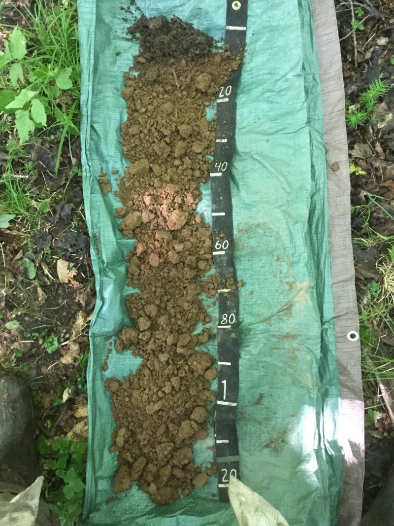
This site is characterized by moderately well to well drained, clayey soils. Precipitation, runoff from adjacent uplands, and groundwater discharge and the primary sources of water. Soils are very strongly acid to moderately alkaline.
Associated sites
| F094BY002MI |
Mucky Swamp Mucky Swamp occupy landscape depression and drainageways. They form in deep, herbaceous organic deposits and are very poorly drained. They occupy the lowest, wettest positions along the same drainage sequence as Clayey Upland. |
|---|---|
| F094BY005MI |
Wet Loamy Lowland Wet Loamy Lowland are wetland sites that occupy landscape depressions on moraines, lake plains, or outwash plains. They are very poorly to poorly drained. They occupy the lower, wetter positions along the same drainage sequence as Clayey Upland. |
| F094BY007MI |
Moist Loamy Lowland Moist Loamy Lowland are found in lower landscape positions on moraines, lake plains, or outwash plains. They are somewhat poorly drained. They occupy the lower, wetter positions along the same drainage sequence as Clayey Upland. |
Similar sites
| F094BY009MI |
Loamy Upland Loamy Upland are found in upland landscape positions on moraines, lake plains, and outwash plains. They are moderately well to somewhat excessively drained. They are very similar to Clayey Upland except have coarser soil textures and improved drainage. |
|---|
Table 1. Dominant plant species
| Tree |
(1) Acer saccharum |
|---|---|
| Shrub |
(1) Corylus cornuta |
| Herbaceous |
(1) Viburnum acerifolium |
Click on box and path labels to scroll to the respective text.
| T1A | - | Clear cutting or stand-replacing fire. |
|---|---|---|
| T1B | - | Removal of forest vegetation and tilling. |
| R2A | - | Disturbance-free period 70+ years. |
| T2A | - | Removal of forest vegetation and tilling. |
| R3A | - | Cessation of agricultural practices, natural or artificial afforestation. |
| R1A | - | Cessation of agricultural practices, natural or artificial afforestation. |
State 1 submodel, plant communities
| 1.1A | - | Natural mortality in the oldest age classes, sporadic small-scale blow-downs and ice storms, create openings for entry of mid-tolerant species, such as red oak and red maple. |
|---|---|---|
| 1.2A | - | Time and natural succession. |
State 2 submodel, plant communities
| 2.1A | - | Immigration and establishment of red oak and red maple. |
|---|---|---|
| 2.2A | - | Immigration and establishment of red oak and red maple. |
| 2.3A | - | Clear cutting or stand-replacing fire. |


